
Fish River Canyon’s layered desert gorge near Hobas
Published on 09/15/2026 at 16:24 | Editorial responsibility: Rafael Müller, Editor-in-Chief AD HOC NEWS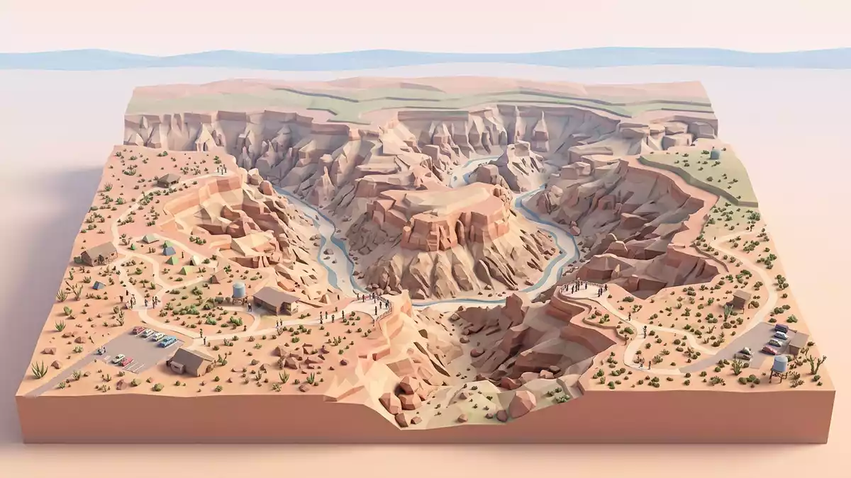
Fish River Canyon near Hobas in southern Namibia is a vast desert gorge where the Fish River has cut down through layered rocks and exposed a cross-section of geological history. The canyon forms part of the /Ai-/Ais-Richtersveld Transfrontier Park, with Hobas serving as a primary access point on the Namibian side.
A stepped canyon carved into ancient basement rock
Seen from the viewpoints near Hobas, Fish River Canyon appears as an immense stepped trench incised into a high desert plateau, with the river occupying the lowest level. The gorge follows a meandering course, and the present canyon records a long incisional history into both sedimentary cover rocks and much older metamorphic basement.Fish River Canyon The inner canyon cuts through basement gneiss and related metamorphic rocks that formed during the Precambrian in southern Namibia, while the wider upper canyon lies partly within younger sedimentary units.basement gneiss at the canyon floor
The canyon has been described in geological work as extending for many kilometres along the Fish River, with a long reach included in documentation as part of a tentative listing for future World Heritage recognition.Fishriver Canyon tentative list entry Within this reach the gorge shows contrasts between a broader upper valley and a narrower inner trench, both visible from the rim near Hobas and forming the main visual structure of the landscape.an immense stepped gorge
Layered desert geology in the canyon walls
The walls of Fish River Canyon near Hobas present clear bands of contrasting rock, making the gorge resemble a geological diagram drawn at landscape scale. Along the rim and upper walls, flat-lying sandstones, shales and limestones of the Nama Group form broad horizontal strata representing sediments laid down in shallow seas during the late Precambrian and early Cambrian periods.sandstones, shales and limestones of the Nama Group Below these younger sediments, lighter-toned gneisses and related metamorphic rocks of the Namaqua Metamorphic Complex appear where the canyon has cut deeper into the basement, revealing rocks formed roughly 1,300 million years ago.Namaqua Metamorphic Complex
Across the cliff faces, darker igneous intrusions cut through both sedimentary and metamorphic units as narrow, linear bands. These dolerite or diabase dykes date to around 770 million years ago and stand out as relatively straight, darker lines that cross-cut the older strata.diabase dykes about 770 million years old In some profiles, the contact between the flat-lying Nama sediments and the tilted metamorphic basement beneath can be seen clearly, marking a nonconformity and a substantial time gap between deposition of the younger sequence and formation of the older complex.sub-horizontal Nama strata over tilted basement
Hobas viewpoints and the wider desert setting
Hobas lies in southern Namibia and serves as the main gateway for travellers approaching Fish River Canyon from the Namibian interior, with viewpoints situated a short distance from the settlement.entrance near the Hobas Restcamp From these lookouts, visitors see the Fish River winding far below along a meandering course within the inner gorge, with wide desert plains extending beyond the rim and low, arid hills framing the horizon.the river follows a meandering path
The canyon forms part of a protected transfrontier park shared between Namibia and South Africa, linking the Fish River landscape with the Richtersveld region across the border./Ai-/Ais-Richtersveld Transfrontier Park From the rim near Hobas, the desert environment is characterised by sparse vegetation, exposed rock and wide views over a succession of cliffs and terraces that step down towards the river channel, giving a clear sense of vertical relief and of the canyon’s scale within the surrounding plateau.vast rock walls near Hobas
Visiting Fish River Canyon: what travellers from Western Europe should know
- Fish River Canyon lies in southern Namibia near Hobas, reached by road from regional centres and forming part of the /Ai-/Ais-Richtersveld Transfrontier Park.
- The viewpoints near Hobas stand above a deep desert gorge with substantial drops and rocky terrain, so paths along the rim involve uneven ground and exposure near the cliff edge.
- The canyon sits in an arid region, with strong sun and little shade along the viewpoints, and conditions on the plateau reflecting the wider desert climate.
- English is widely used in Namibia; the official language is English and the currency is the Namibian dollar.
- Entry requirements depend on your nationality; UK travellers can check the FCDO travel advice at gov.uk/foreign-travel-advice, Irish travellers the Department of Foreign Affairs at ireland.ie.
Searching for Fish River Canyon on social platforms
These links open searches for Fish River Canyon on each platform.Frequently asked questions about Fish River Canyon
Where is Fish River Canyon in relation to Hobas and southern Namibia?
Fish River Canyon lies in southern Namibia near the settlement of Hobas, within the /Ai-/Ais-Richtersveld Transfrontier Park and reached by road across the desert plateau.
What should visitors expect when viewing Fish River Canyon near Hobas?
Visitors at Hobas see a deep, stepped desert gorge with layered rock walls, a meandering river far below and wide views over an arid plateau with sparse vegetation.
What makes Fish River Canyon distinctive among desert landscapes?
Fish River Canyon combines a large-scale desert gorge with clearly exposed geological layering, where younger Nama Group sediments overlie much older Namaqua metamorphic basement cut by dolerite dykes.


