
Fish River Canyon’s layered rock amphitheatre near Hobas
Published on 08/30/2026 at 10:58 | Editorial responsibility: Rafael Müller, Editor-in-Chief AD HOC NEWS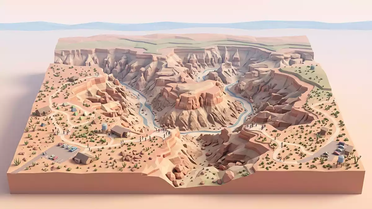
South of Hobas in southern Namibia, Fish River Canyon presents an immense stepped gorge where the Fish River has cut down through layered rock and exposed a cross-section of ancient geology. The canyon extends for around 160 km (99 mi) between Seeheim and Ai-Ais, with a width reaching about 27 km (17 mi) and depths that approach 550 m (1,804 ft), making its scale immediately apparent at the rim viewpoints near Hobas.The Fish River Canyon
A canyon written in strata
Viewed from the main lookouts near Hobas, Fish River Canyon reads almost like a geological diagram drawn at landscape scale, with horizontal bands that record very different chapters of Earth history.A detailed geology document In the upper walls, flat-lying sandstones and dark limestones of the Nama Group form a broad plateau; below them, lighter-toned gneisses of the Namaqua Metamorphic Complex emerge where the canyon has cut deeper.
The gorge itself is divided into an upper canyon, several kilometres wide and relatively shallower, and a lower canyon where the river occupies a twisting trench incised far into the metamorphic basement rocks.Descriptions of the canyon’s two-part form Across the cliffs, dark dolerite dykes cross-cut the gneisses as narrow, linear bands, while fault lines and changes in slope mark tectonic movements long predating the canyon’s present shape.A World Heritage Tentative List entry
Deep time carved by a desert river
Fish River Canyon condenses more than a billion years of geological history into the view from its rim. Rocks of the Namaqua Metamorphic Complex, formed around 1,300 million years ago, lie beneath younger Nama Group sediments that date to roughly 550 million years ago, while dolerite intrusions around 770 million years old slice through the older basement.The geological ages Later glaciation in the Dwyka ice age, about 350 million years ago, scoured an earlier valley and laid down glacial sediments of the Karoo Supergroup along what would become the canyon’s course.
After the break-up of the Gondwana supercontinent, particularly from around 120 to 130 million years ago, uplift of the African continent increased the gradient of the Fish River, allowing it to incise the modern canyon into both the plateau rocks and the underlying gneisses.Accounts of canyon formation At the base, the river occupies a floor far below the ancient graben in which its proto-valley lay, and the present relief shows how erosion, tectonics and climatic shifts have combined to create this vast desert gorge.
The rim near Hobas and the canyon below
The area around Hobas offers road access to rim viewpoints where the sheer breadth of Fish River Canyon is visible without descending to the riverbed.Travel guidance for the canyon From these points the canyon appears as a wide amphitheatre, with multiple tiers of cliffs stepping down towards the distant river, and clear distinctions between rock units in colour and surface texture. The upper edges of the canyon mark the margins of a tectonic graben, more than 20 km (12 mi) apart, whose subsidence framed the broad ancient valley of the Fish River.The description of the graben
Within the canyon itself, a multi-day trail between Hobas and Ai-Ais follows the course of the river along its sandy and rocky floor, passing towering walls, side gullies and occasional pools.The hiking route information The descent from the rim to the river involves a steep, stony path and loose surfaces, and once at the bottom, hikers traverse stretches of boulders, gravel bars and broader sandy flats framed by cliffs that rise several hundred metres on either side.
Visiting Fish River Canyon: what travellers from Western Europe should know
- Fish River Canyon lies in southern Namibia, with the Hobas viewpoint area reached by road from towns such as Keetmanshoop and the Ai-Ais resort.
- The rim viewpoints near Hobas are at desert plateau altitude, with drop-offs into the canyon and unfenced edges that call for secure footing on rocky ground.
- The descent routes into the canyon involve steep gradients on loose rock and sand, and the multi-day trail along the riverbed covers many kilometres of uneven terrain.
- The official language is Afrikaans and the currency is the Namibian dollar.
- Entry requirements depend on your nationality; UK travellers can check the FCDO travel advice at gov.uk/foreign-travel-advice, Irish travellers the Department of Foreign Affairs at ireland.ie.
Searching for Fish River Canyon on social platforms
These links open searches for Fish River Canyon on each platform.Frequently asked questions about Fish River Canyon
Where is Fish River Canyon in relation to Hobas?
Fish River Canyon lies in southern Namibia, with Hobas serving as a gateway settlement near the main rim viewpoints above the gorge.
What should visitors expect when viewing the canyon?
Visitors at the rim near Hobas encounter wide desert plateaus cut by a deep gorge, with clearly layered cliffs, expansive views and exposed rocky ground along the edges.
What makes Fish River Canyon distinctive among desert landscapes?
Fish River Canyon stands out for its combination of great length, width and depth with visibly contrasting rock units that reveal more than a billion years of geological history.


