
Thingvellir, where Iceland’s parliament met in a rift valley
Published on 09/19/2026 at 21:19 | Editorial responsibility: Rafael Müller, Editor-in-Chief AD HOC NEWS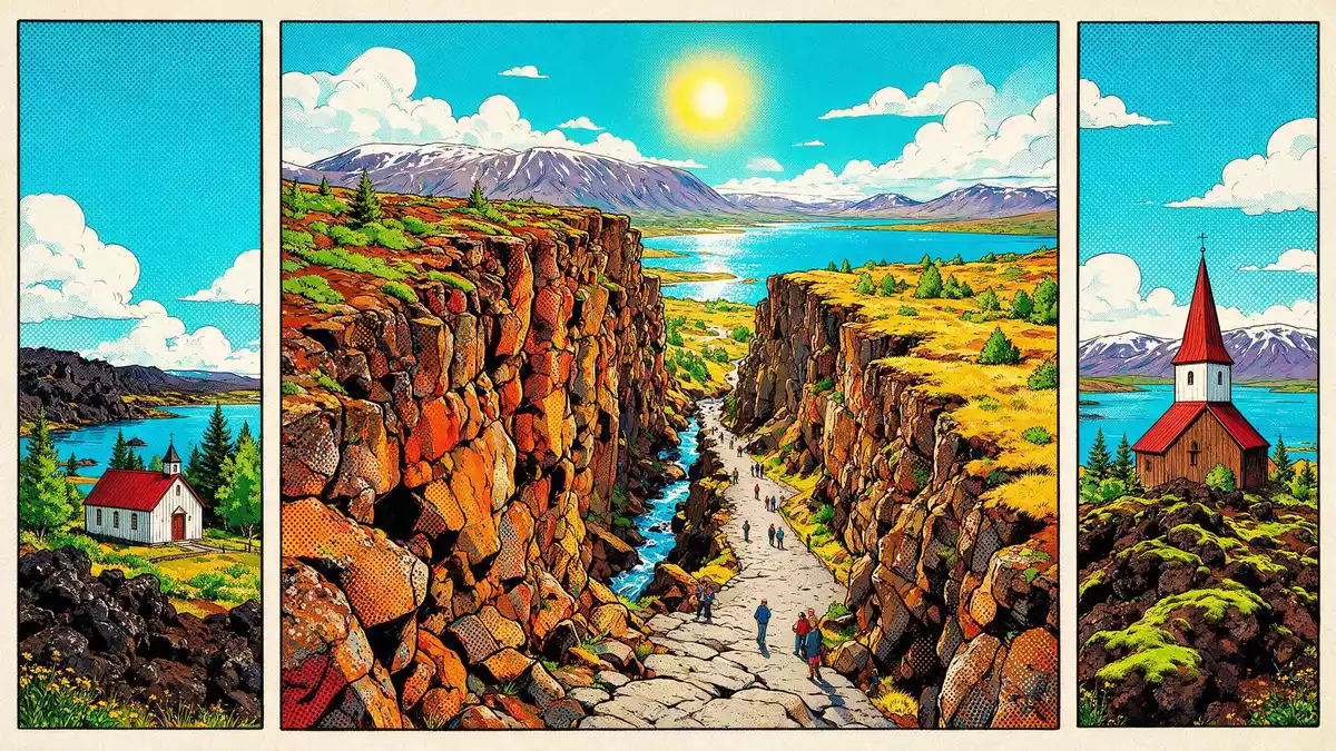
Thingvellir in southwestern Iceland is both a national park and the historic meeting ground of the Alþingi parliament, set directly within a rift valley shaped by the Mid-Atlantic Ridge. The open-air assembly of the Alþingi was established here in 930 and continued on the plains below the surrounding cliffs until 1798, giving the site a central place in Icelandic political history.Althing established in 930 Thingvellir later became Iceland’s first national park in the twentieth century and in 2004 its core landscape, including the assembly fields, was inscribed on the UNESCO World Heritage List as a cultural landscape.
Law on lava: the Alþingi at Thingvellir
The name Thingvellir means “assembly fields” in Icelandic and refers to the wide plain at the foot of basalt cliffs where chieftains and delegates gathered for the Alþingi. From the tenth century until 1798 this open space functioned as a meeting ground for law-making, legal disputes and announcements, creating a long tradition of seasonal assemblies in the landscape.assembly from 930 to 1798 When Iceland marked the millennial anniversary of the Alþingi in 1930, legislation created Thingvellir National Park to protect the area around the historical meeting site.designated Iceland's first national park in 1930
The World Heritage inscription under cultural criteria in 2004 recognised the way this landscape preserves traces of the Alþingi while also showing how the assembly field is framed by the surrounding volcanic terrain.inscribed as World Heritage in 2004 The core protected area covers the northern shore of Lake Thingvallavatn and the adjacent rift valley, where paths lead past cliffs, lava outcrops and turf remains of structures associated with the period when the Alþingi met here.assembly landscape and lake shore
A visible rift between tectonic plates
Thingvellir occupies a graben, a sunken block of crust between higher margins, within the western branch of Iceland’s active volcanic zone. The valley lies on the Mid-Atlantic Ridge, the tectonic boundary between the North American and Eurasian plates, so the park is one of the places where a mid-ocean ridge can be seen and walked on land.Mid-Atlantic Ridge on land On the western side of the valley, the Almannagjá gorge forms a long fault scarp with basalt walls rising above cleared paths, marking the edge of the North American plate. To the east, another fault system, including Hrafnagjá, defines the opposite margin of the lowered valley floor.graben between Almannagjá and Hrafnagjá
The spreading of the plates has created a rift valley several kilometres wide, with a height difference of around 30–40 m (98–131 ft) between the valley floor and the upper edges of the fault scarps.graben height and rift width Lava flows dating back roughly 10,000 years fill much of the basin, while hyaloclastite and other volcanic rocks line the margins. Fissures cut through the lava and descend into the water along the northern shore of Lake Thingvallavatn, where the structural depression created by the rift is partly occupied by the lake.rift valley and lake Thingvallavatn
Lake Thingvallavatn and Silfra
Lake Thingvallavatn lies within the same rift system as the valley and extends southwards from the park towards the Hengill volcanic area. It is Iceland’s largest natural lake, occupying a basin formed by subsidence between the parallel fault systems.Iceland's largest natural lake The northern shore meets the lava fields and cliffs of Thingvellir, where small inlets and fissures connect the lake water with groundwater moving through cracks in the basalt.
One of the better-known fissures is Silfra, a water-filled crack near the northern shore of the lake. Silfra lies within the tension zone between the North American plate and the smaller Hreppar microplate, and its clear water reveals the geology of the rift beneath the surface.Silfra fissure between plates Around the lake, lava fields, low hills and distant mountains form a wider landscape that sets the parliament plain and the tectonic features within a broader volcanic setting.
Visiting Thingvellir: what travellers from Western Europe should know
- Thingvellir lies in southwestern Iceland, inland from Reykjavík, on the northern shore of Lake Thingvallavatn in a rift valley that forms part of the Mid-Atlantic Ridge. The park is reached by road from the capital region and is a standard stop on the driving circuit known as the Golden Circle.
- The terrain around the main paths includes uneven lava, exposed bedrock and stretches of compacted earth, with some routes crossing boardwalks and stairs that climb or descend the fault scarps.
- In winter, snow and ice can cover paths and the surrounding lava fields, while in summer the plain and lakeshore are largely snow-free, so footwear needs to suit potentially wet or slippery ground.
- The official language is Icelandic and the currency is the Icelandic króna.
- Entry requirements depend on your nationality; UK travellers can check the FCDO travel advice at gov.uk/foreign-travel-advice, Irish travellers the Department of Foreign Affairs at ireland.ie.
Searching for Thingvellir on social platforms
These links open searches for Thingvellir on each platform.Frequently asked questions about Thingvellir
Where is Thingvellir?
Thingvellir is in southwestern Iceland, inland from Reykjavík, occupying a rift valley and the northern shore of Lake Thingvallavatn within a national park.
What should visitors expect on a visit?
Visitors encounter lava fields, cliffs, fissures and lakeshore paths within a protected landscape, along with the historical site of the Alþingi assembly on the broad plain below the fault scarp.
What makes Thingvellir distinctive?
Thingvellir combines the birthplace of Iceland’s Alþingi parliament with a clearly visible rift valley on the Mid-Atlantic Ridge, where the boundary between tectonic plates shapes the park’s geography.


