
Pao de Acucar, the granite monolith above Guanabara Bay
Published on 09/08/2026 at 17:34 | Editorial responsibility: Rafael Müller, Editor-in-Chief AD HOC NEWS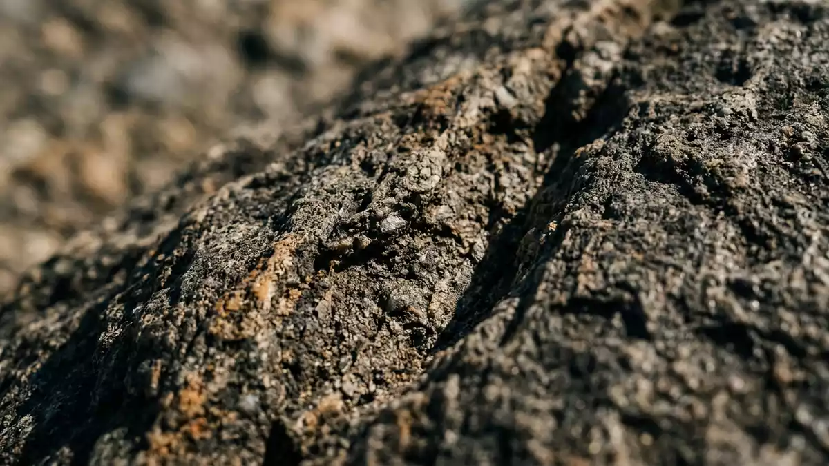
Pao de Acucar in Rio de Janeiro, known in English as Sugarloaf Mountain, is a steep granite-and-gneiss peak that rises above the mouth of Guanabara Bay and has become part of the city’s harbour skyline. Its summit reaches about 396 m (1,299 ft) above sea level, giving this single block of rock a clear profile against both the Atlantic Ocean and the built-up districts below.
The granite monolith at the mouth of Guanabara Bay
Pao de Acucar stands on a narrow peninsula at the entrance to Guanabara Bay, beside the Urca neighbourhood on Brazil’s south-eastern Atlantic coast. The mountain climbs directly from near sea level, with its rock faces dropping towards the harbour entrance on one side and the ocean-facing shore of Rio de Janeiro on the other.landmark peak overlooking Rio de Janeiro The peak lies at the end of a short coastal range between the city and the Atlantic, marking the point where the bay narrows into the channel that leads inland.peninsula at the mouth of Guanabara Bay
Geologically, Pao de Acucar is described as a near-conical monolith of hard rock, mostly granite and augen gneiss, which resists erosion and forms steep, smooth faces that fall straight to the shoreline. The augen gneiss is associated with older granite bodies and belongs to the geological units of the Ribeira orogenic belt, giving the mountain its compact, lens-like structure.396 m high near-conical gneiss monolith The traditional Portuguese name Pao de Acucar refers to the historical sugarloaf form associated with refined sugar, which the peak’s outline recalls.name refers to the sugarloaf form
Cable cars, ridges and views over Rio de Janeiro
Pao de Acucar is linked to the city by the Bondinho do Pao de Acucar cable car system, a ropeway that has connected the harbour-side base area with the upper slopes since 1912.Bondinho do Pao de Acucar cable car The cableway climbs in two distinct stages: the first runs from near Praia Vermelha to Morro da Urca, a lower hill that forms an intermediate platform, while the second continues from Morro da Urca to the summit of Pao de Acucar at about 396 m (1,299 ft).cable car system opened in 1912
Besides the cable car, Pao de Acucar is approached by routes that follow the granite ridge and connect the lower slopes with viewpoints on Morro da Urca and the main peak. The terrain is steep rock with sections of exposed stone and vegetation clinging to ledges, and paths in the area rise from near the shoreline towards the ridge crest.granite-and-gneiss peak above the bay From the summit platforms, visitors see Guanabara Bay turning inland, the Atlantic coastline stretching away from the harbour mouth, and the urban districts of Rio de Janeiro laid out between hills and water.
A protected harbour landscape of rock and water
Pao de Acucar forms part of a protected landscape on Rio’s waterfront, recognised as the Sugarloaf Mountain and Urca Hill Natural Monument. The designation covers the granite ridge and the surrounding coastal area, linking the main peak with Morro da Urca and the harbour-edge slopes.Sugarloaf Mountain and Urca Hill Natural Monument Within this setting, the mountain stands as an isolated block of rock framed by beaches such as Praia Vermelha, coastal fortifications and the entrance channel of Guanabara Bay.
Across the water, Pao de Acucar faces other hills and landmarks of Rio de Janeiro, including the ridge on which the statue of Cristo Redentor stands, though each peak belongs to its own range. The harbour edge beneath the mountain carries streets, buildings and waterfront spaces, with the base area providing access to the cable-car terminus and the start of walking routes. The combination of sheer granite, bay water and urban frontage makes this part of Urca one of the places where Rio’s coastal geography is easiest to read in a single view.gneiss monolith at the entrance of the bay
Visiting Pao de Acucar: what travellers from Western Europe should know
- Pao de Acucar stands in the Urca neighbourhood of Rio de Janeiro on Brazil’s south-eastern Atlantic coast, on a peninsula at the mouth of Guanabara Bay. The harbour-side base area lies near Praia Vermelha, where the Bondinho cable-car line begins.
- The terrain on and around the mountain consists of steep granite and gneiss faces, with paths and stairs that climb from near sea level towards Morro da Urca and the summit platforms. Routes involve significant ascent on sloping ground and built stairways.
- The official language is Portuguese and the currency is the Brazilian real.
- Entry requirements depend on your nationality; UK travellers can check the FCDO travel advice at gov.uk/foreign-travel-advice, Irish travellers the Department of Foreign Affairs at ireland.ie.
Searching for Pao de Acucar on social platforms
These links open searches for Pao de Acucar on each platform.
Frequently asked questions about Pao de Acucar
Where is Pao de Acucar located?
Pao de Acucar stands in the Urca district of Rio de Janeiro, on a peninsula at the entrance to Guanabara Bay on Brazil’s south-eastern Atlantic coast.
What can visitors expect on a visit to Pao de Acucar?
Visitors encounter steep granite and gneiss terrain, cable-car journeys in two stages between Praia Vermelha, Morro da Urca and the summit, and broad views over Guanabara Bay, the Atlantic shoreline and the city.
What makes Pao de Acucar distinctive among Rio de Janeiro’s hills?
The mountain is a near-conical granite-and-gneiss monolith about 396 m (1,299 ft) high that rises directly from the harbour edge at the mouth of Guanabara Bay, framed by water, urban frontage and protected coastal slopes.


