
Pao de Acucar, the granite cone above Guanabara Bay
Published on 09/12/2026 at 19:11 | Editorial responsibility: Rafael Müller, Editor-in-Chief AD HOC NEWS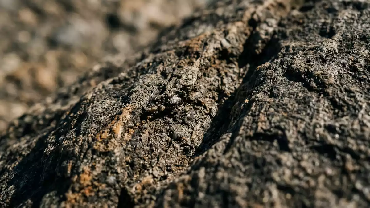
Pao de Acucar in Rio de Janeiro, known in English as Sugarloaf Mountain, is a steep granite peak rising above the entrance to Guanabara Bay and linked to the city by an early twentieth?century cable car system. Its summit reaches about 396 m (1,299 ft) above sea level, giving the mountain a clear, freestanding profile against the Atlantic coastline.
A granite cone at the mouth of Guanabara Bay
Pao de Acucar stands on a narrow peninsula at the mouth of Guanabara Bay, with the Urca district and Praia Vermelha at its base on the city’s harbour edge.Situated at the entrance to Guanabara Bay the peak rises 396 m (1,299 ft) above the water as a near?conical mass of granite and related gneiss. The mountain belongs to the Sugarloaf Mountain and Urca Hill Natural Monument, a protected landscape on Rio’s waterfront.Part of the Sugarloaf Mountain and Urca Hill Natural Monument
The rock of Pao de Acucar is identified as augen gneiss associated with older granite bodies, giving the mountain hard, pale outcrops that fall steeply toward the bay.Augen gneiss related to older granite The name Pao de Acucar refers to the traditional sugarloaf form used for refined sugar, echoing the mountain’s tapered profile above the harbour.Name linked to the sugarloaf form From the water, the peak reads as one of the fixed reference points of Rio de Janeiro’s south?eastern Atlantic shoreline, marking the entrance to Guanabara Bay with a single, steep cone of rock.
The Bondinho cable car and early twentieth?century engineering
Pao de Acucar is linked to Rio de Janeiro by the Bondinho do Pao de Acucar cable car system, conceived by Brazilian engineer Augusto Ferreira Ramos in the first decade of the twentieth century.Conceived by engineer Augusto Ferreira Ramos Ramos obtained authorisation in 1909 and founded the Companhia Caminho Aéreo Pão de Açúcar to build an aerial route over the harbour?side hills.Authorisation in 1909 and company foundation The first section of the cable car, from Praia Vermelha to Morro da Urca, opened on 27 October 1912 and carried hundreds of passengers on its first day of operation.First section opened in October 1912
The second section, linking Morro da Urca to the summit of Pao de Acucar, was inaugurated on 18 January 1913, completing the aerial route from the harbour edge to the granite peak.Second section opened in January 1913 The original cabins were built of solid wood and carried around 22 passengers, suspended above the bay on a line that climbed from the low shore at Praia Vermelha to Morro da Urca and then onward to the higher summit of Pao de Acucar.Early wooden cabins carrying 22 passengers Later generations of cable?car equipment introduced new cabin designs and modernised control systems, but the basic two?stage route established in 1912 and 1913 remains the way most visitors reach the mountain’s upper platforms.
Views, terrain and the harbour setting
Pao de Acucar rises steeply from sea level, its granite flanks forming a pronounced contrast with the lower hills and urban fabric of Urca and Rio de Janeiro’s central districts around Guanabara Bay.Conical granitic peak overlooking Guanabara Bay The terrain on the mountain itself is hard rock with limited soil, and the cable?car stations and viewing platforms sit perched on outcrops that face across the bay toward the city and out to the Atlantic. From the upper level, the shoreline arcs around Guanabara Bay, with beaches and headlands arranged in a wide harbour basin framed by further hills.
The approach to the Bondinho base area lies beside Praia Vermelha, a small beach at the foot of Pao de Acucar, where the harbour edge meets the lower slopes of the granite cone.Base area near Praia Vermelha The mountain stands within Rio’s South Zone, with urban streets reaching close to the shore and the base station, while the higher levels remain distinct in character as exposed rock above water. The protected status of the Sugarloaf Mountain and Urca Hill Natural Monument keeps the immediate slopes under conservation measures, maintaining the interplay between the granite peak, the harbour and the surrounding city skyline.
Visiting Pao de Acucar: what travellers from Western Europe should know
- Pao de Acucar rises on a peninsula at the entrance to Guanabara Bay in the Urca district of Rio de Janeiro, with access through the harbour?side streets around Praia Vermelha.
- The terrain on the mountain consists of steep granite and gneiss slopes; reaching the upper levels involves travelling by cable car and moving across constructed platforms on exposed rock.
- The official language is Portuguese and the currency is the Brazilian real.
- Entry requirements depend on your nationality; UK travellers can check the FCDO travel advice at gov.uk/foreign-travel-advice, Irish travellers the Department of Foreign Affairs at ireland.ie.
Searching for Pao de Acucar on social platforms
These links open searches for Pao de Acucar on each platform.
Frequently asked questions about Pao de Acucar
Where is Pao de Acucar located?
Pao de Acucar stands on a peninsula at the entrance to Guanabara Bay in the Urca district of Rio de Janeiro, with Praia Vermelha at its base on the harbour edge.
What can visitors expect on a visit to Pao de Acucar?
Visitors encounter a steep granite peak rising 396 m (1,299 ft) above the bay, reached by a two?stage cable car from Praia Vermelha to Morro da Urca and then onward to the summit platforms.
What makes Pao de Acucar distinctive among Rio de Janeiro’s landmarks?
Pao de Acucar is distinctive for its conical granite form at the mouth of Guanabara Bay, its early twentieth?century Bondinho cable car and its position within the Sugarloaf Mountain and Urca Hill Natural Monument.


