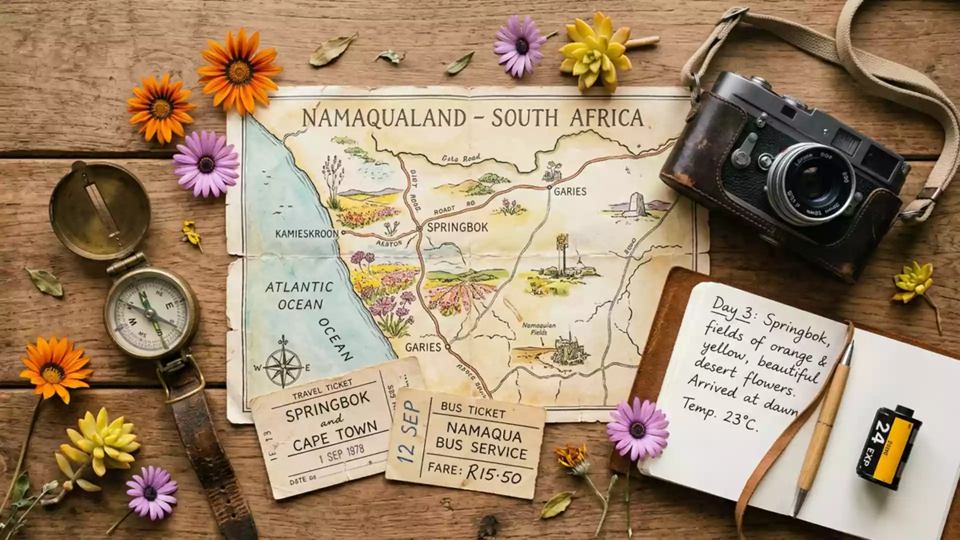
Namaqualand’s wide open country around Springbok
Published on 09/03/2026 at 12:58 | Editorial responsibility: Rafael Müller, Editor-in-Chief AD HOC NEWS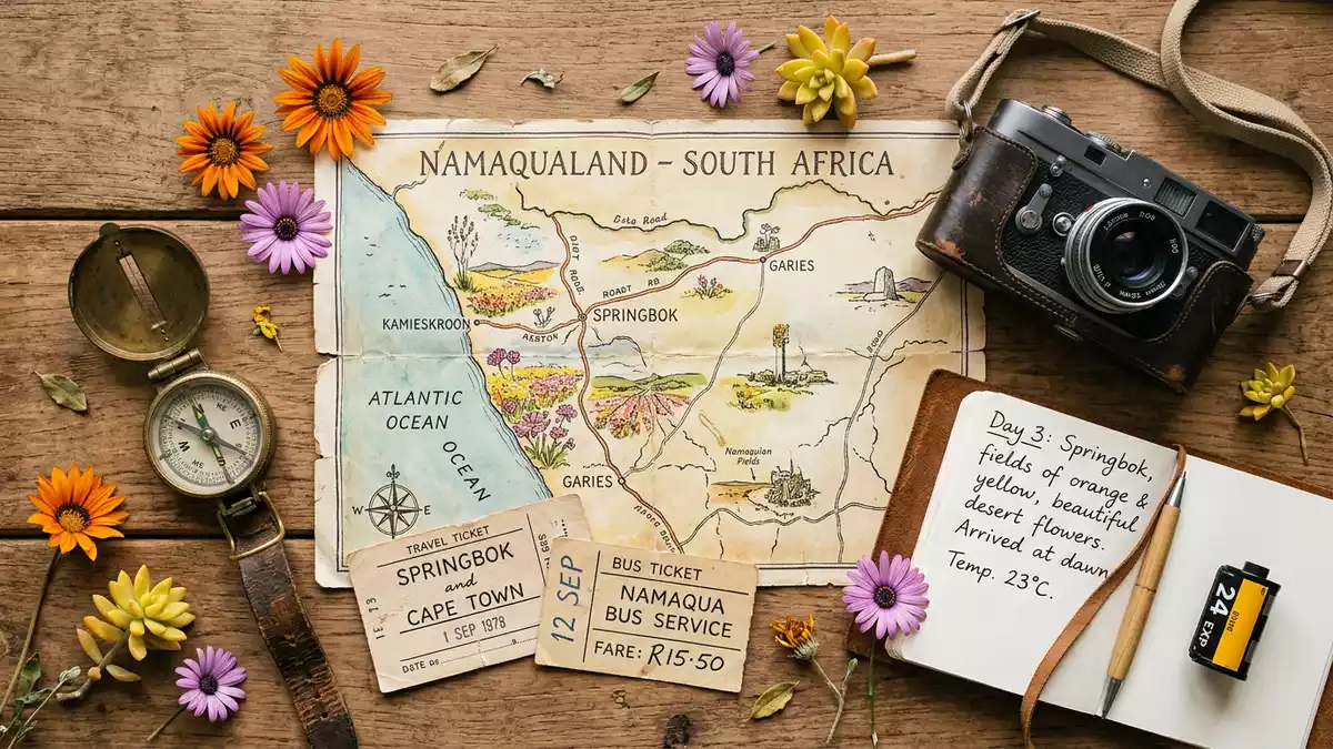
Namaqualand around Springbok in South Africa is a vast dry region where granite hills, sandy plains and low shrubs stretch for long distances across the Northern Cape. It is known both for its arid everyday character and for the seasonal wildflower displays that transform parts of the landscape into sheets of colour.
Northern Cape landscape anchored by Springbok
Namaqualand is a geographic region of south-western Africa that extends from Namibia into South Africa’s Northern Cape province, running along the west coast for hundreds of kilometres between the Namib desert and the Kalahari.geographic region The South African portion lies in the Northern Cape, and its chief town is Springbok, which serves as an administrative and commercial centre for the surrounding settlements.chief town
Springbok was originally called Springbokfontein and developed in the nineteenth century as a copper mining hub for the area around Okiep, a role that still shapes its identity as the largest town of Namaqualand.copper mining hub The town stands among low granite hills and rocky outcrops that give the region much of its texture, with the wider Namaqualand landscape shifting gradually from inland hills to coastal plain and dune country closer to the Atlantic.rock, dunes and wide open country
Wildflower routes through an arid region
The name Namaqualand is widely associated with wildflowers because large areas of its normally dry terrain carry masses of flowering annuals during a relatively short season, particularly daisies and other hardy species adapted to the climate.Namaqualand Flower Route Several driving corridors link these areas, and one of the best known groupings is the Namaqualand Flower Route, which centres on towns including Garies, Kamieskroon, Port Nolloth and Springbok in the Northern Cape.
Protected areas such as Namaqua National Park near Kamieskroon and the Goegap Nature Reserve near Springbok provide structured access to both the flowers and the wider semi-desert scenery, with gravel roads and walking trails crossing open veld and low hills.Namaqua National Park Around Springbok itself, the surrounding ridges and valleys receive their share of flowering plants as well, and the town acts as a practical base for routes that fan out towards Goegap and the coastal sections of Namaqua National Park.practical base for the flower season
Mining legacy and small towns of Namaqualand
The economic history of Namaqualand around Springbok is closely tied to mineral extraction, especially copper, and many of its towns grew up around mines that operated from the nineteenth century onwards.copper has been mined Springbok’s early development was linked to nearby Okiep, and other settlements such as Nababeep and Kleinzee share similar roots in resource industries that left traces in infrastructure and town layout.surrounding Namaqualand towns
Alongside the mining heritage, Namaqualand incorporates a constellation of small communities spread across wide distances, many lining the main north–south road corridor and side routes that connect the interior with the Atlantic coast.series of drives Towns such as Alexander Bay, Pofadder, Garies and Port Nolloth each sit within their own local landscapes of scrub, rock and sand, but together they form the human thread through this broad region anchored by Springbok.within spitting distance of other towns
Visiting Namaqualand: what travellers from Western Europe should know
- Namaqualand lies in the Northern Cape province of South Africa, with Springbok as its chief town; Springbok stands on the N7 road corridor linking Cape Town with Namibia.
- The terrain combines low granite hills, rocky outcrops and stretches of semi-desert plain, so driving routes can cross long distances of open country with occasional steep or uneven sections.
- Goegap Nature Reserve east of Springbok and Namaqua National Park near Kamieskroon are established protected areas in the region and serve as key access points to both wildflower displays and the wider landscape.
- Springbok is part of the Nama Khoi Local Municipality and functions as an administrative and commercial hub for nearby towns, making it a practical base for exploring the surrounding region.
- The official language is Afrikaans alongside other South African languages, and the currency is the South African rand; entry requirements depend on your nationality; UK travellers can check the FCDO travel advice at gov.uk/foreign-travel-advice, Irish travellers the Department of Foreign Affairs at ireland.ie.
Searching for Namaqualand on social platforms
These links open searches for Namaqualand on each platform.
Frequently asked questions about Namaqualand
Where is Namaqualand in relation to Springbok?
Namaqualand is a broad region in Namibia and South Africa, and Springbok is the chief town of its South African portion in the Northern Cape province.
What can visitors expect when travelling through Namaqualand?
Travellers encounter long stretches of semi-arid landscape with granite hills, scrub and sand, punctuated by small towns and protected areas known for seasonal wildflower displays.
What makes Namaqualand distinctive among South African regions?
Namaqualand combines a strong mining legacy around Springbok with an extensive arid landscape that becomes known for mass wildflower blooms along established driving routes.