
Namaqualand’s rock, dunes and wide open country
Published on 08/30/2026 at 15:03 | Editorial responsibility: Rafael Müller, Editor-in-Chief AD HOC NEWS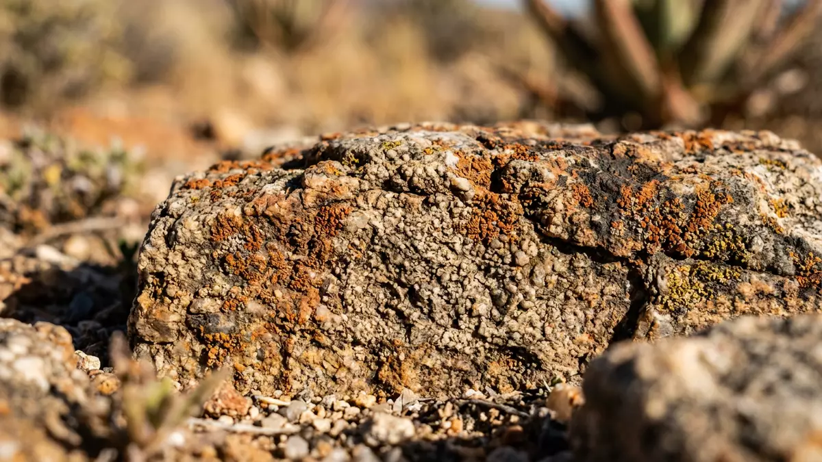
Namaqualand in South Africa is a broad arid region whose landscape changes from granite hills to coastal plain and rocky outcrops. Springbok is the chief town in the South African part of the region, and it anchors the area’s road and administrative life.
Namaqualand’s granite hills and coastal plain
The region sits in Northern Cape province and extends across the dry western side of southern Africa. Its landscape includes the Namaqualand Metamorphic Complex, which gives parts of the area their gneiss and quartzite bedrock.
The rock shows in smooth faces, rounded boulders and koppies across the Hardeveld. In Namaqua National Park, Wolfhoek se Berg rises to 948 m (3,110 ft), while the coastal plain stretches between the Groen and Spoeg rivers.
Springbok and the settlement pattern of Namaqualand
Springbok, once called Springbokfontein, sits in the heart of the region and serves as its chief town. It lies on the N7 route, and the South African History Online profile places it among the surrounding Namaqualand towns of Alexander Bay, Pofadder, Garies, Kleinzee and Port Nolloth.
The town grew in a valley surrounded by granite domes and koppies, with a stone church on the central hill and the traces of an older fort nearby. That mix of settlement, hilltop relief and copper-country geology gives Springbok a clear regional character without needing embellishment.
Wildflowers, winter rain and the Succulent Karoo
Namaqualand belongs to the Succulent Karoo, a biome shaped by low rainfall and a remarkable range of succulent plants. The region is known for over 3,500 plant species, and its spring flowering draws attention to daisies, vygies and other drought-tolerant species.
The climate is dry, but the seasonal rain pattern matters to the vegetation. Namaqualand lies in the winter-rainfall zone of southern Africa, and that pattern supports a flora very different from the summer-rainfall interior.
Visiting Namaqualand: what travellers from Western Europe should know
- Springbok is reached by road on the N7, the main northbound route through Namaqualand. The town also connects with surrounding places such as Okiep and Nababeep.
- The terrain includes koppies, granite domes, quartzite ridges and open coastal plain. In Namaqua National Park, some sections rise from sea level to 948 m (3,110 ft).
- The region’s ecology is tied to winter rain and a rich succulentscape. Flowering plants are part of the landscape, not a separate garden feature.
- English is used widely in the region, and Springbok sits in a South African province where Afrikaans and other local languages are also present. The currency is the South African rand.
Searching for Namaqualand on social platforms
These links open searches for Namaqualand on each platform.
Frequently asked questions about Namaqualand
Where is Namaqualand?
Namaqualand lies in the Northern Cape in South Africa and extends across the dry western side of the country. Springbok is the chief town on the South African side.
What does a visit involve?
It involves road travel through open desert country, rocky hills and small towns linked by long stretches of road. The terrain is shaped by koppies, quartzite ridges and coastal plain.
What makes Namaqualand distinctive?
The region combines dry-country geology with a strong winter-rainfall flora. Its spring flowers and succulents are part of a landscape shaped by rock, plain and low rainfall.


