
Lago de Atitlan and Panajachel in a volcanic basin
Published on 08/27/2026 at 09:58 | Editorial responsibility: Rafael Müller, Editor-in-Chief AD HOC NEWS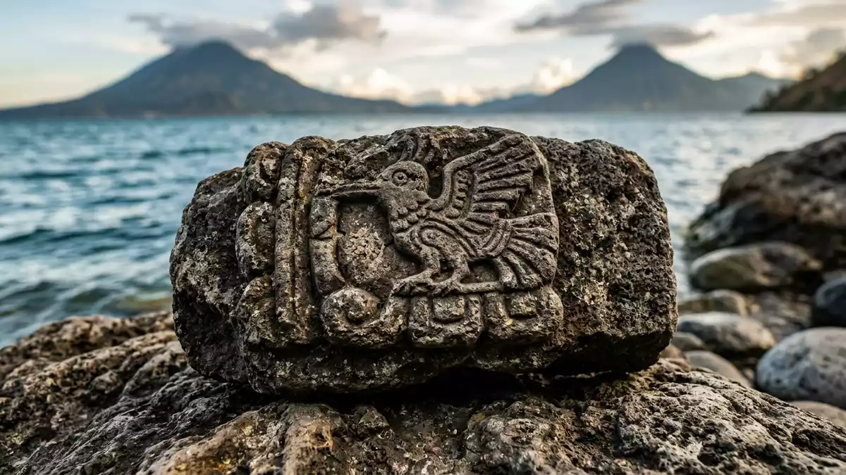
Lago de Atitlan is a deep volcanic lake in the Guatemalan Highlands, with Panajachel on its north-eastern shore. The water sits in a broad basin framed by steep slopes and three volcanoes.
A volcanic lake above Panajachel
The lake lies in south-western Guatemala, in the Sololá Department and within the Sierra Madre mountain range. Its surface is about 1,560 m above sea level, and the basin is part of the Atitlan caldera.Atitlan caldera
Three volcanic cones stand along the southern side of the lake: Atitlán, Tolimán and San Pedro. Their slopes and the lake floor make the shoreline feel enclosed, especially from Panajachel and the surrounding settlements.three volcanic cones
The basin and its depth
Lago de Atitlan covers about 130 km² and stretches roughly 18 km from east to west. It is one of the most substantial bodies of water in the Guatemalan highlands, with a surface that reads as broad from shore and from the ridges above it.130 km²
The lake also drops to depths of more than 300 m, with a maximum depth in the region of 340 m. That combination of breadth and depth gives the basin a strong vertical scale as well as a horizontal one.340 m
Panajachel on the lakeshore
Panajachel sits on the north-eastern shore, on ground laid by the Panajachel River. The town is close to the lake’s level and opens back from the water across gently sloping streets.Panajachel River
The lake and its basin have protected status as a multiple-use reserve, and the designation appears in Guatemalan environmental planning documents. That formal status reflects the scale of the lake, its volcanic setting and the communities around the shore.multiple-use reserve
Visiting Lago de Atitlan: what travellers from Western Europe should know
- Panajachel is the main northern shore gateway. Boat services connect the lakeside settlements, while roads reach the town from Sololá and the wider Guatemalan highlands.
- The lake sits at high altitude, and the surrounding land rises quickly away from the shore. The steep slopes and volcanic cones are part of the landscape everywhere around it.
- The shoreline is broken by coves, promontories and built-up stretches, especially around Panajachel and other lakeside towns. The shore itself changes character from place to place.
- The official language is Spanish and the currency is the Guatemalan quetzal.
Searching for Lago de Atitlan on social platforms
These links open searches for Lago de Atitlan on each platform.
Frequently asked questions about Lago de Atitlan
Where is Lago de Atitlan?
Lago de Atitlan lies in south-western Guatemala, in the Sololá Department. Panajachel sits on its north-eastern shore.
What does a visit feel like?
The lake is set in a high volcanic basin with steep shores and clear views to three volcanoes. Panajachel gives access to the northern shore and to boat connections across the lake.
What makes it distinctive?
Its combination of large surface area, great depth and caldera setting gives Lago de Atitlan a strong physical presence. The shore towns sit directly inside that landscape.


