
Kata Tjuta’s many-headed domes in Australia’s Red Centre
Published on 09/22/2026 at 01:48 | Editorial responsibility: Rafael Müller, Editor-in-Chief AD HOC NEWS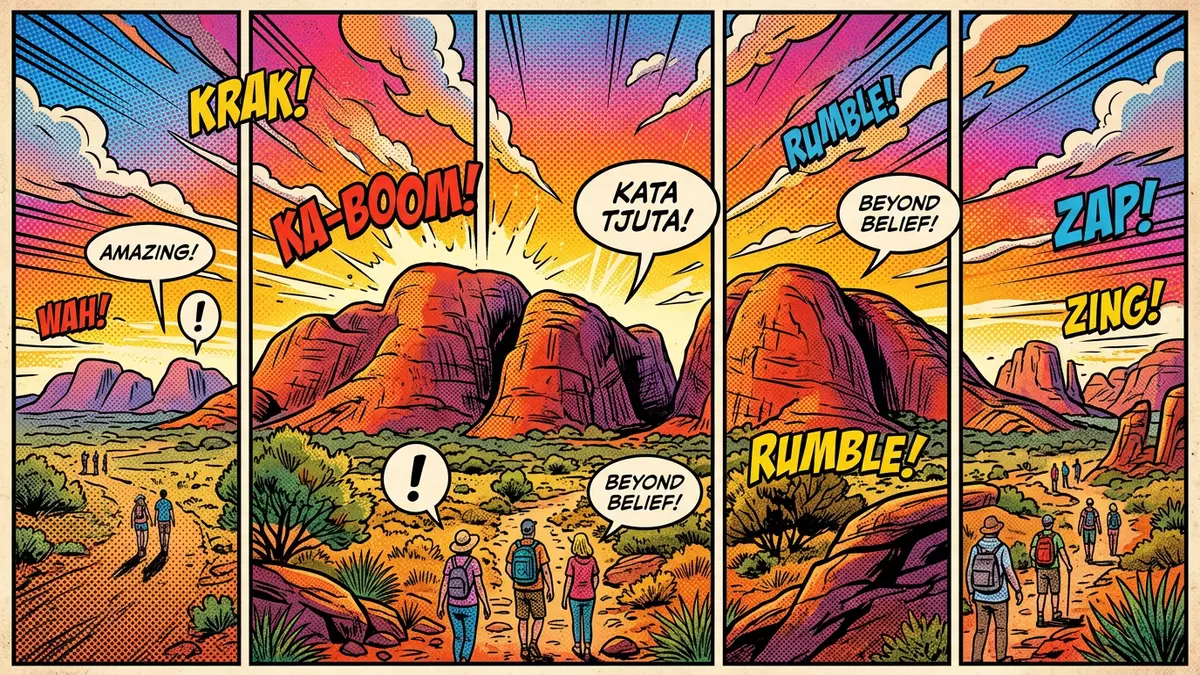
Kata Tjuta, west of Yulara in central Australia’s Northern Territory, forms a compact cluster of rounded rock domes that rise directly from the desert plains in Uluru-Kata Tjuta National Park.Uluru-Kata Tjuta National Park The name Kata Tjuta, from the Pitjantjatjara language, means “many heads” and describes the way the domes stand side by side across the arid landscape.Kata Tjuta means “many heads”
Red conglomerate domes in the desert plain
The domes of Kata Tjuta stand within Uluru-Kata Tjuta National Park, a protected area that also includes Uluru and forms part of the wider Amadeus Basin in central Australia.Uluru-Kata Tjuta National Park is Aboriginal land Geologically, the formation consists mainly of conglomerate: pebbles, cobbles and boulders bound together by a matrix of sand and mud, with many fragments of granite and basalt embedded in the rock.red conglomerate domes In places the exposed surfaces have a plum-pudding appearance, where erosion has revealed contrasting pieces within the matrix and given the domes a speckled look that differs from the smoother face of nearby Uluru.conglomerate of granite and basalt
The group traditionally comprises 36 domes, spreading across more than 20 square kilometres (7.7 sq mi) and rising hundreds of metres above the surrounding plain.36 domes covering more than 20 square kilometres The highest feature, Mount Olga, reaches over 1,000 m (3,280 ft) above sea level, towering above the desert floor and forming a prominent landmark west of Uluru.Mount Olga rises above sea level From a distance, the domes appear as a low range, but closer views reveal steep faces and narrow valleys cut between them.
Deep time in the rocks of Kata Tjuta
The rocks of Kata Tjuta record a long geological history linked to the Amadeus Basin and major tectonic events in central Australia, including the Petermann and Alice Springs orogenies.geological history tied to the Amadeus Basin Sediment that became the conglomerate of Kata Tjuta was laid down in broad fans at the base of rising highlands, where high-energy water transported large fragments and deposited them alongside sand and mud.sediment laid down from ancient highlands Later, additional layers from an inland sea covered these deposits, and tectonic movements tilted and folded the thick package of sedimentary rocks, leaving the bedding at Kata Tjuta gently inclined compared with the near-vertical layers at Uluru.difference from Uluru’s arkose
Over hundreds of millions of years, chemical weathering and mechanical erosion stripped away softer surrounding rock and isolated the resilient conglomerate that now forms the domes of Kata Tjuta.Mount Currie Conglomerate description Water has carved drainage lines and canyons through the formation, following fractures in the rock and leaving steep-sided valleys that separate the individual domes.rounded rocky domes and valleys Standing beneath the slopes, the coarse fragments in the conglomerate and the scale of the domes make the age and thickness of the rock layers tangible.
Cultural landscape within Uluru-Kata Tjuta National Park
Kata Tjuta lies within Uluru-Kata Tjuta National Park, a World Heritage site jointly managed as Aboriginal land by Anangu and Parks Australia.World Heritage listing for Uluru-Kata Tjuta The park covers more than 1,300 square kilometres (503 sq mi) in the central Australian desert and is recognised both for its natural values and for its role in the traditional belief systems of one of the world’s oldest societies.Uluru-Kata Tjuta UNESCO site Within this landscape, Kata Tjuta is associated with powerful knowledge and ceremonial traditions, and several areas are restricted.
The nearest service centre is Yulara, a purpose-built settlement approved in 1984 for tourist facilities and an associated airport north of the park, which provides access to both Uluru and Kata Tjuta.Yulara tourist facility and airport From Yulara, the Lasseter Highway links towards the national park boundary, and park roads turn west towards the domes, bringing travellers into the broader setting of Australia’s Red Centre.Lasseter Highway and Yulara
Visiting Kata Tjuta: what travellers from Western Europe should know
- Kata Tjuta stands west of Uluru in Uluru-Kata Tjuta National Park in the Northern Territory, with road access from Yulara along Lasseter Highway and park roads.
- The terrain around the domes includes uneven desert ground, rocky sections and valleys between the formations, and approaches on foot may involve loose surfaces and short, steep sections.
- The area forms part of Australia’s arid Red Centre, where temperatures can be high in summer and fall sharply at night, so conditions vary between seasons.
- The official language is English and the currency is the Australian dollar.
- Entry requirements depend on your nationality; UK travellers can check the FCDO travel advice at gov.uk/foreign-travel-advice, Irish travellers the Department of Foreign Affairs at ireland.ie.
Searching for Kata Tjuta on social platforms
These links open searches for Kata Tjuta on each platform.
Frequently asked questions about Kata Tjuta
Where is Kata Tjuta located?
Kata Tjuta is in the southern part of the Northern Territory in central Australia, west of Uluru and near Yulara, within Uluru-Kata Tjuta National Park.
What kind of rock forms the domes of Kata Tjuta?
The domes are made mainly of conglomerate, a sedimentary rock composed of pebbles, cobbles and boulders cemented by sand and mud, with many granite and basalt fragments.
What makes Kata Tjuta distinctive compared with Uluru?
Kata Tjuta consists of multiple rounded conglomerate domes, whereas Uluru is a single sandstone monolith, so the formation shows a different texture, composition and arrangement across the desert plain.


