
Kata Tjuta’s many-headed domes in Australia’s Red Centre
Published on 08/31/2026 at 09:41 | Editorial responsibility: Rafael Müller, Editor-in-Chief AD HOC NEWS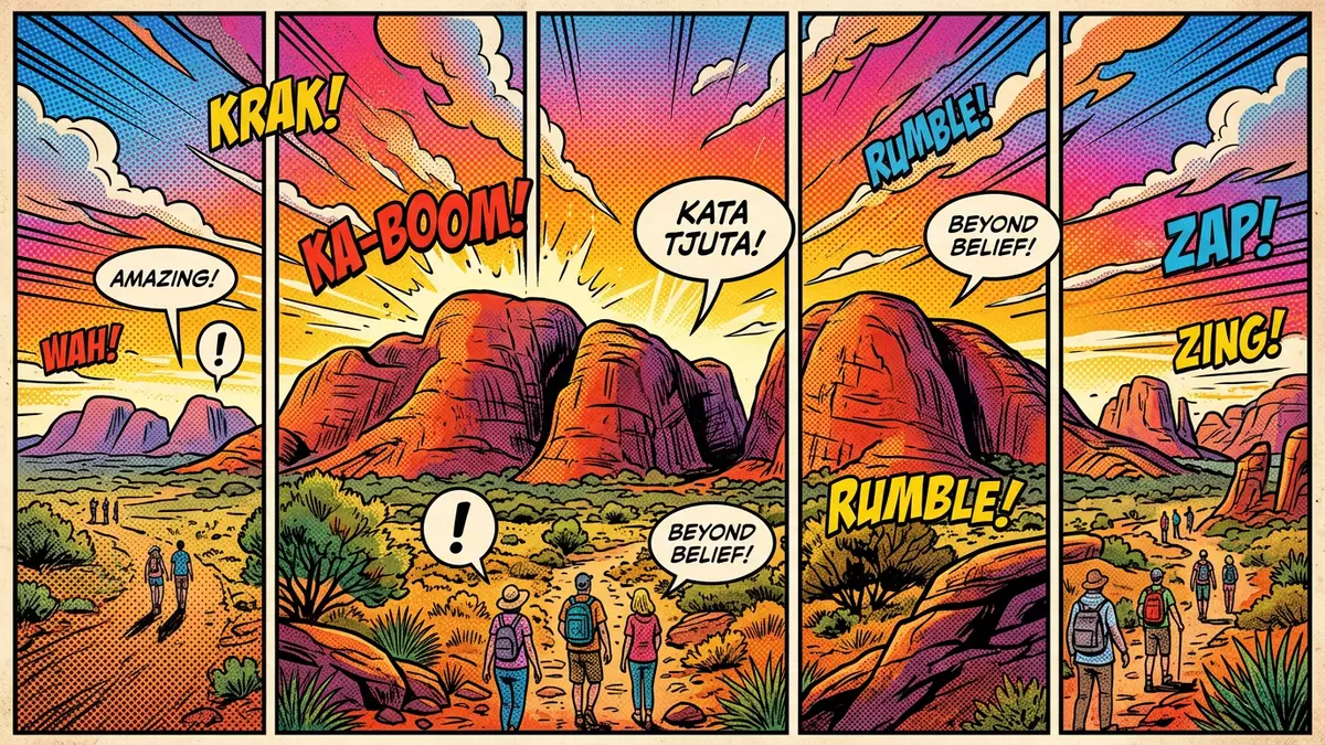
The name Kata Tjuta, meaning “many heads” in Pitjantjatjara, refers to a striking group of domed rock formations in central Australia’s Northern Territory near Yulara. These domes stand within Uluru-Kata Tjuta National Park, a World Heritage-listed landscape in Australia’s Red Centre that also includes the better-known monolith of Uluru.
Many-headed domes in the desert
Kata Tjuta forms a compact cluster of steep-sided rock domes that rise directly from the desert plains west of Uluru in Uluru-Kata Tjuta National Park. The group lies west of Yulara, the main service settlement for visitors to this part of central Australia, and shares the open, arid setting of the surrounding Outback.Uluru-Kata Tjuta National Park The domes are separated by narrow valleys and gullies, so from different viewpoints they appear as overlapping rounded masses rather than a single ridge.
Geologically, the Kata Tjuta domes are made of conglomerate, a sedimentary rock consisting of pebbles, cobbles and boulders bound together by a matrix of sand and mud.conglomerate rock Many of the embedded pieces are granite and basalt, which give some surfaces a speckled, “plum-pudding” appearance where erosion has exposed the contrasting fragments. The domes themselves are the visible top of much larger rock bodies that extend deep below the surrounding desert.
Ancient geology and deep time
The rocks of Kata Tjuta record an extended geological history tied to the Amadeus Basin and major tectonic events in central Australia. Sediment that became the conglomerate of Kata Tjuta was laid down in fans at the base of rising highlands and later covered by an inland sea, where additional layers of sand and mud settled and compressed the earlier deposits.geological history Movement of the Earth’s crust during orogenies such as the Petermann and Alice Springs events tilted and folded these thick sedimentary packages, leaving Kata Tjuta gently inclined compared with the near-vertical bedding at Uluru.
Over hundreds of millions of years, chemical weathering and erosion stripped away softer surrounding rock, isolating the resilient conglomerate and carving the deep valleys between the domes.steep-sided domes and valleys The result is a landscape where rounded summits rise above steep faces, and drainage lines trace paths through canyons that reflect ancient fractures in the rock. For travellers interested in geology, Kata Tjuta offers a clear contrast between conglomerate domes here and the sandstone mass of nearby Uluru, both drawn from related sediment yet expressed in different forms.
Cultural landscape and protected status
Kata Tjuta sits within Uluru-Kata Tjuta National Park, a jointly managed protected area that recognises both the natural and cultural significance of the land.World Heritage-listed national park For Anangu, the Aboriginal people whose traditional lands include this region, Kata Tjuta forms part of an interconnected network of sites woven into Tjukurpa, often translated as “law” or “Dreaming”, which encodes stories, responsibilities and knowledge.
The Pitjantjatjara name Kata Tjuta, “many heads”, reflects both the clustered shape of the domes and their presence as distinct features within the wider desert environment.meaning “many heads” Parts of the area are associated with knowledge that Anangu regard as powerful and restricted, and this status influences how access is managed in some locations. The combined value of Uluru and Kata Tjuta as outstanding examples of geological processes and as central places in Anangu culture underpins their inscription as a mixed World Heritage site.
Visiting Kata Tjuta: what travellers from Western Europe should know
- Kata Tjuta lies in Uluru-Kata Tjuta National Park in Australia’s Northern Territory, west of Yulara, reached by road along the Lasseter Highway.
- The terrain around the domes includes uneven rock surfaces, sandy stretches and sections with steps where paths and viewing areas climb through valleys and onto low rises.
- The wider park stands in Australia’s central desert, where daytime conditions can be hot and dry while nights may be markedly cooler.
- English is the official language and the currency is the Australian dollar.
- Entry requirements depend on your nationality; UK travellers can check the FCDO travel advice at gov.uk/foreign-travel-advice, Irish travellers the Department of Foreign Affairs at ireland.ie.
Searching for Kata Tjuta on social platforms
These links open searches for Kata Tjuta on each platform.
Frequently asked questions about Kata Tjuta
Where is Kata Tjuta in relation to Yulara and Uluru?
Kata Tjuta stands within Uluru-Kata Tjuta National Park in Australia’s Northern Territory, west of Yulara and west of the sandstone monolith Uluru.
What should visitors expect when exploring the domes?
Visitors encounter steep-sided rock domes of conglomerate, valleys with uneven footing and desert conditions that can bring strong sun exposure and marked temperature variation.
What makes Kata Tjuta distinctive compared with Uluru?
Kata Tjuta is characterised by multiple conglomerate domes and deep valleys, while Uluru forms a single massif of sandstone with near-vertical bedding and smoother overall outlines.


