
Gullni hringurinn from Selfoss, Iceland’s volcanic touring loop
Published on 09/16/2026 at 22:33 | Editorial responsibility: Rafael Müller, Editor-in-Chief AD HOC NEWS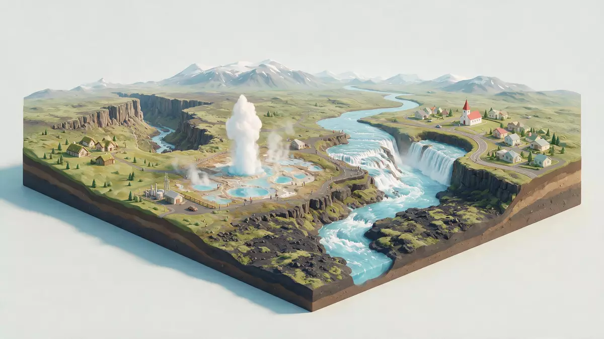
Gullni hringurinn, the Icelandic name for the Golden Circle, is a circular touring route in southwest Iceland that links the tectonic landscapes of Þingvellir, the geothermal fields of Haukadalur and the glacier-fed waterfall Gullfoss in a single circuit accessible from Selfoss.Gullni hringurinn The loop lies in the Suðurland region and begins and ends near Reykjavík, with Selfoss acting as a southern gateway where the Ring Road meets inland routes.starts and ends near Reykjavík
Gullni hringurinn as a landscape route
Gullni hringurinn is a road circuit rather than a single monument, traced across lava fields, river valleys and upland plateaux in southwest Iceland.touring route in southwest Iceland The route forms a loop of around 300 km (190 mi), connecting three anchor stops that have become shorthand for the country’s southern interior: Þingvellir National Park, the geothermal valley of Haukadalur and the waterfall Gullfoss.three main stops
Þingvellir lies in a rift valley where the North American and Eurasian tectonic plates meet, giving the first part of the journey its fractured cliffs and long, low graben floor.park narodowy Þingvellir From there, inland roads continue towards Haukadalur, an area of hot springs and geysers including Geysir and Strokkur, before turning towards the Hvítá river valley where Gullfoss drops in two main stages into a rugged canyon.Gullfoss on the Hvítá
Selfoss and the southern side of the loop
Selfoss is a town in southwest Iceland on the eastern bank of the Ölfusá river, south-east of Reykjavík, with the Ring Road crossing the river on its way across the southern coastal plain.town on the Ring Road Inland roads branch from the Selfoss area towards Þingvellir, Haukadalur and the Hvítá valley, making the town a practical orientation point on the southern side of the circuit.southern gateway
Approaching Gullni hringurinn from Selfoss, the road leaves the broad coastal lowlands and rises gradually towards the interior, with views opening towards distant ridges and river valleys. The junctions near Selfoss mark the point where the loop connects with Route 1, and where travellers can choose to follow the circuit clockwise or in the opposite direction. The town itself provides a settled foreground of houses and riverbank against the more sparsely built landscape of Suðurland that takes over along the upland stretches of the route.
Geysers, waterfalls and rift valleys along the circuit
Each of the three classic stops on Gullni hringurinn carries a distinct character, and together they sketch a cross-section of how rock, water and geothermal energy shape southwest Iceland.three anchor stops Þingvellir combines geological and historical significance, with cliffs and fissures framing the site of the old assembly that has a central place in Icelandic history. Haukadalur presents a compact valley marked by steam vents, pools and erupting geysers, where Strokkur sends columns of water skywards at short intervals and the older Geysir lends its name to geothermal springs worldwide.
Further inland, Gullfoss takes the water of the Hvítá river and drops it in two main steps into a canyon cut into volcanic rock, with spray rising from the impact zone.wodospad Gullfoss The road circuit uses these three stops as anchors, but the journey between them passes lava fields, farmed valleys and scattered settlements, with side roads leading to places such as Kerið, a volcanic crater with a lake in its basin, and bathing spots including the pool at Flúðir.Kerið and Flúðir
Visiting Gullni hringurinn: what travellers from Western Europe should know
- Gullni hringurinn lies in southwest Iceland, with Selfoss south-east of Reykjavík on the main Ring Road; from Selfoss, inland routes lead towards Þingvellir, Haukadalur and the Hvítá valley.
- The route includes stretches on upland plateaux and minor roads where conditions can vary with weather, and some viewpoints around geysers and waterfalls are reached by paths and stairways over uneven ground.
- In winter, snow can reach down to low elevations in Suðurland, affecting road surfaces and approach paths, while in summer the interior sections of the loop show exposed lava, grassland and open water.
- English and Icelandic are widely used along the route and across Suðurland, and the currency in Iceland is the Icelandic króna.
- Entry requirements depend on your nationality; UK travellers can check the FCDO travel advice at gov.uk/foreign-travel-advice, Irish travellers the Department of Foreign Affairs at ireland.ie.
Searching for Gullni hringurinn on social platforms
These links open searches for Gullni hringurinn on each platform.Frequently asked questions about Gullni hringurinn
Where is Gullni hringurinn in relation to Selfoss and Reykjavík?
Gullni hringurinn forms a loop in southwest Iceland that starts and ends near Reykjavík and passes close to the Selfoss area, tying inland routes to the Ring Road in Suðurland.
What can travellers expect when following the Golden Circle from Selfoss?
The circuit from Selfoss leads across lava fields and river valleys to Þingvellir, Haukadalur and Gullfoss, with side roads to places such as Kerið crater and bathing spots in Flúðir.
What gives Gullni hringurinn its distinctive character among Icelandic routes?
The route combines a tectonic rift valley, active geysers and a multi-step waterfall in one coherent circuit, using Selfoss and Reykjavík as coastal bases for the volcanic interior.


