
Gullni hringurinn from Selfoss, Iceland’s classic volcanic loop
Published on 09/04/2026 at 18:30 | Editorial responsibility: Rafael Müller, Editor-in-Chief AD HOC NEWS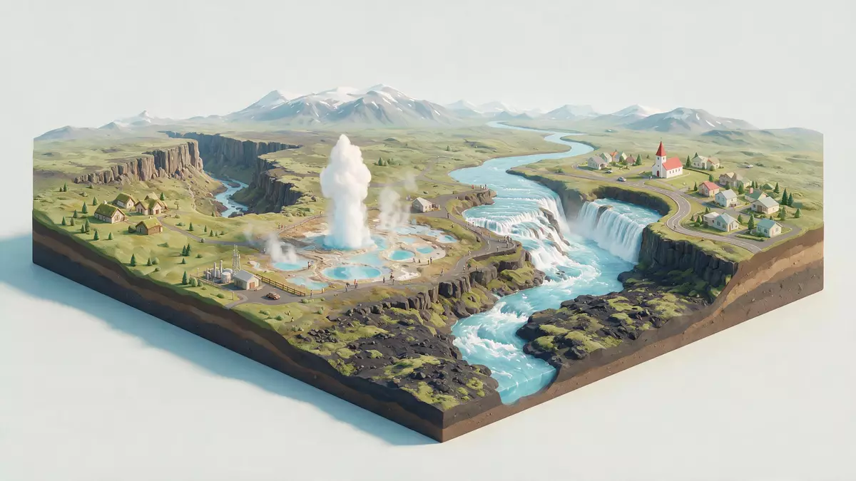
Gullni hringurinn, the Icelandic name for the Golden Circle, is a touring loop in southwest Iceland that arcs between Reykjavík, Selfoss and the southern uplands, tying together a tectonic rift valley, steaming geothermal ground and the glacier?fed waterfall Gullfoss in a single drive. Rooted in the landscapes of Suðurland and the history of Þingvellir, it has become the classic way to see how volcanic forces and human settlement meet on this part of the island.
A loop that frames Iceland’s southern uplands
At its simplest, Gullni hringurinn is a circular route of roughly 300 km (190 mi) that begins near Reykjavík, climbs into the interior and curves back towards the coastal lowlands around Selfoss before returning to the capital along the Ring Road. The touring circuit is widely described as a loop from Reykjavík into the southern uplands and back, passing through the volcanic plateau east of the city and then descending towards the river plains of Suðurland.a loop of about 300 kilometres
On the map the route traces a broad ring that encloses some of southwest Iceland’s most characteristic terrain: fissured lava fields, highland moors, river gorges and lowland farming country around towns such as Selfoss and Hveragerði. The Selfoss area lies south-east of Reykjavík on the main eastern stretch of the Ring Road, near the junction where inland roads branch towards Þingvellir, the geothermal valley of Haukadalur and the Hvítá river valley leading to Gullfoss, making it a practical southern gateway into the circuit for journeys across Suðurland.passes close to the Selfoss region in Suðurland
Three landmarks at the core of Gullni hringurinn
The heart of Gullni hringurinn lies in three named stops that have defined the route for decades: Þingvellir National Park, the geothermal field at Haukadalur and the waterfall Gullfoss. Þingvellir, north-east of Reykjavík, is where the Alþingi – Iceland’s national parliament – was established in the tenth century and met for centuries on a rocky plain bordered by cliffs and lakes, and the site is recognised as a World Heritage property for its combination of political and geological history.Þingvellir National Park Standing there, visitors see the visible edges of the North American and Eurasian tectonic plates, expressed as a rift valley with fractures, escarpments and lakeside terraces.
Further east, the route reaches Haukadalur, a geothermal valley where hot springs and geysers pierce the surface and mud pools mark the heat below. The area includes the dormant Geysir and the vigorously erupting Strokkur, a hot spring that sends water high into the air at short intervals, making the geothermal field one of the most recognisable images of Gullni hringurinn.the Geysir geothermal area with Strokkur Beyond Haukadalur the road follows the Hvítá river to Gullfoss, a two-tiered waterfall where glacial meltwater from the interior drops in stages through a rocky gorge; the waterfall’s Icelandic name, meaning “golden waterfall”, lies behind the “Golden Circle” label used in English.the waterfall Gullfoss on the river Hvítá
Selfoss as a gateway to the Golden Circle
Although many visitors drive Gullni hringurinn out from Reykjavík and back in a single day, Selfoss has grown into an alternative base for exploring the route and the wider south. The town lies on the eastern bank of the Ölfusá river in south-west Iceland, south-east of Reykjavík, with the Ring Road crossing the river on its way towards Hella and other settlements along the southern coastal plain, giving travellers a point where the coastal highway and inland roads meet.Gullnahringssvæðið nær frá Selvogi vestur af Þorlákshöfn og austur að Hellu
From Selfoss, the landscape around Gullni hringurinn changes quickly as roads leave the lowland farms and rise towards lava fields and moorland plateaux. Travellers who base themselves in the Selfoss region can follow inland routes towards Þingvellir and Haukadalur, loop north to Gullfoss and then return via smaller roads that pass volcanic craters such as Kerið and geothermal settlements including Flúðir, tying the classic Golden Circle stops to other sights in Suðurland with the town as a recurring reference point.returning via Selfoss
Visiting Gullni hringurinn: what travellers from Western Europe should know
- Gullni hringurinn lies in southwest Iceland, with Selfoss south-east of Reykjavík on the main Ring Road and inland routes branching towards Þingvellir, Haukadalur and Gullfoss.
- The terrain along the loop ranges from lowland river plains around Selfoss to higher lava plateaux and rift valleys, so driving involves steady climbs and descents on paved roads and occasional gravel sections.
- In winter, conditions in the southern uplands can include snow and ice, and exposed sections of the route run across open moorland where weather shapes visibility and road surface.
- The official language is Icelandic and the currency is the Icelandic króna.
- Entry requirements depend on your nationality; UK travellers can check the FCDO travel advice at gov.uk/foreign-travel-advice, Irish travellers the Department of Foreign Affairs at ireland.ie.
Searching for Gullni hringurinn on social platforms
These links open searches for Gullni hringurinn on each platform.
Frequently asked questions about Gullni hringurinn
Where is Gullni hringurinn in relation to Selfoss?
Gullni hringurinn is a touring loop in southwest Iceland that starts and ends near Reykjavík, passing close to the Selfoss region where the Ring Road meets inland routes towards Þingvellir, Haukadalur and Gullfoss.
What can travellers expect when driving the route?
Travellers encounter a mix of lowland river scenery, rift valleys, lava fields, geothermal ground and the stepped gorge of Gullfoss, with driving on paved highways and occasional gravel stretches as the road climbs into the southern uplands.
What makes Gullni hringurinn distinctive among Icelandic routes?
Gullni hringurinn is distinctive because it links Þingvellir National Park, the Geysir–Strokkur geothermal field and the glacier?fed waterfall Gullfoss in one circuit that remains accessible from Reykjavík and Selfoss within a single touring loop.


