
Grosser Aletschgletscher and the long river of ice above Fiesch
Published on 09/10/2026 at 20:34 | Editorial responsibility: Rafael Müller, Editor-in-Chief AD HOC NEWS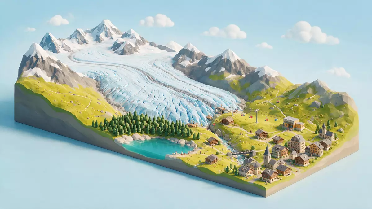
High above the village of Fiesch in the Swiss canton of Valais, Grosser Aletschgletscher forms a sweeping river of ice that curves through the southern slopes of the Bernese Alps. It is the largest glacier in the Alps in both length and area, a central band of frozen mass that links high snowfields and rocky summits to the Rhône valley far below.
The great curve of ice in the Bernese Alps
Grosser Aletschgletscher lies on the southern flank of the Bernese Alps, occupying a high-alpine basin that drains towards the Rhône valley in Valais. From its upper firn fields the glacier descends in a broad arc, so that viewed from the ridges above Fiesch it appears as a long, pale curve of ice framed by dark rock and patches of snow.
Measurements taken over the last decades describe a glacier length in the range of a little over 20 km (12.4 mi), making Grosser Aletschgletscher by far the longest single body of ice in the Alpine chain.From head to toe it measures 21 km The surface area reaches several tens of square kilometres, and glaciological inventories give figures of around 78 to more than 80 km² (30.1 to 30.9 sq mi) for its extent.With a length of 23 kilometres and an area of over 78 square kilometres Beneath the visible surface lies hundreds of metres of ice, with the thickest sections at Konkordiaplatz reaching depths in the order of 800 to 900 m (2,625 to 2,953 ft).almost 900 Metres thick at Konkordiaplatz
From Jungfrau and Mönch to the Massa and Rhône
The origins of Grosser Aletschgletscher lie beneath some of the most prominent peaks of the Bernese Alps, including Jungfrau and Mönch. Here, accumulation basins such as Grosser Aletschfirn, Jungfraufirn and the Ewigschneefeld gather snow and compressed ice, which flow together at Konkordiaplatz to form the main glacier body.The Grosse Aletschgletscher originates in the Jungfrau-Region From this confluence, the ice moves southward through a deep valley, bending gently as it approaches the upper Rhône valley.
Along its course the glacier is bordered by high summits and steep rock walls, with moraines marking the lines where the ice has transported debris over long periods. Meltwater from Grosser Aletschgletscher drains through the Massa river, which cuts a gorge before joining the Rhône, linking the high-alpine glacier basin to the broader Valais landscape.The Aletsch Glacier drains via the Massa into the Rhone The elevation range the glacier spans runs from high firn fields above 4,000 m (13,123 ft) to a tongue that descends to below 2,000 m (6,562 ft), giving visitors access to views of ice across a large vertical drop.origin lies in the Jungfrau region at around 4000 metres
World Heritage landscape of ice, rock and high summits
Grosser Aletschgletscher forms the icy core of the Swiss Alps Jungfrau-Aletsch World Heritage area, a large high-alpine property inscribed on the UNESCO World Heritage List in 2001.inscribed on the UNESCO World Heritage List in 2001 The wider region, sometimes referred to as Jungfrau-Aletsch-Bietschhorn, combines ice, rock and vegetation zones, with Grosser Aletschgletscher occupying a central position among peaks and side glaciers.
Within this landscape the glacier is described as both the largest and the longest in the Alps, and as one of the most voluminous bodies of ice in the mountain chain.largest glacier in Europe at 23 kilometers long Estimates of its ice mass reach into the range of 10 to 11 billion tonnes, emphasising how strongly Grosser Aletschgletscher shapes the surrounding topography.Weighing in at around 10 billion tonnes Seen from viewpoints above Fiesch and elsewhere in Valais, the glacier appears as a wide band of ice separated from dark rock by narrow lateral moraines, with the Jungfrau-Aletsch peaks rising behind.
Visiting Grosser Aletschgletscher: what travellers from Western Europe should know
- Grosser Aletschgletscher lies above the upper Rhône valley in the Swiss canton of Valais, with viewpoints accessible from Fiesch and other villages on the southern side of the Bernese Alps.
- The terrain around the glacier consists of high-altitude mountain paths, rocky ridges and viewpoints reached by cableways and marked trails, with sections involving steps and uneven ground.
- In this part of Switzerland the official language in day-to-day use is German and the national currency is the Swiss franc.
Searching for Grosser Aletschgletscher on social platforms
These links open searches for Grosser Aletschgletscher on each platform.
Frequently asked questions about Grosser Aletschgletscher
Where is Grosser Aletschgletscher located?
Grosser Aletschgletscher lies above the upper Rhône valley in the Swiss canton of Valais, on the southern slopes of the Bernese Alps near Fiesch.
What can visitors expect when viewing the glacier?
Visitors encounter a long, curved river of ice bordered by high summits and rocky ridges, with viewpoints offering wide panoramas over the glacier surface and surrounding mountains.
What makes Grosser Aletschgletscher distinctive among Alpine glaciers?
It is the largest and longest glacier in the Alps, with an ice mass measured in billions of tonnes and a central role in the Swiss Alps Jungfrau-Aletsch World Heritage landscape.


