
Grachten van Amsterdam and the seventeenth?century canal ring
Published on 08/28/2026 at 18:50 | Editorial responsibility: Rafael Müller, Editor-in-Chief AD HOC NEWS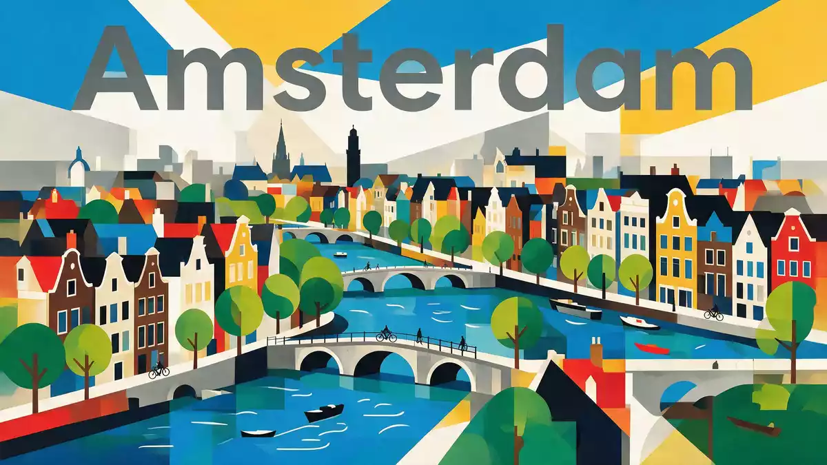
Grachten van Amsterdam is the dense web of canals that shapes the historic centre of Amsterdam, most clearly in the seventeenth?century canal ring known as the Grachtengordel. In this part of the Dutch capital, water, brick and bridges form a planned landscape from the Dutch Golden Age, still legible in the layout of its streets and canal houses.
A horseshoe of canals from the Dutch Golden Age
The clearest way to grasp Grachten van Amsterdam is to follow the four main canals that loop around the old medieval core: Singel, Herengracht, Keizersgracht and Prinsengracht. These canals were dug in the seventeenth century as part of a deliberate expansion programme, giving the city a horseshoe of concentric waterways west and south of its older port and market streets.four main canals Together they form the Grachtengordel, an urban pattern that turns water into the primary organising element of the city.Grachtengordel canal ring
The canal ring belongs to a wider system of waterways within Amsterdam. Across the city there are more than 100 km (62 mi) of canals, linked by a large number of bridges and punctuated by islands and quays.over 100 km of canals Within that network, the seventeenth?century ring stands out as a single coordinated project, laid out in arcs and radial cross?canals that together define the historic centre and create long views along water lined by canal houses.
From port city to planned canal district
Before the great expansion of the seventeenth century, Amsterdam’s core sat inside earlier defensive waterways such as the Singel and Kloveniersburgwal. In the decades around 1600, the city government adopted a formal plan for a new “port city” west and south of this core, extending the boundaries inland and draining swampland with an ordered system of canals and plots.project for a new port city Work on the new canals began in the early seventeenth century, with major phases recorded between 1613 and around 1660.
The period is the Dutch Golden Age, when Amsterdam acted as a global trading centre. The four main canals of the Grachtengordel were laid out in stages, with reclamation of Herengracht, Keizersgracht and Prinsengracht beginning in 1613 during the Twelve Years’ Truce, and extensions towards the Amstel following later in the century.1613 canal reclamation Canal houses along these waterways date largely from the seventeenth century, though many were altered in subsequent centuries, which gives the ring a mixture of gabled facades and later frontages above consistently narrow plots.canal houses from the seventeenth century
UNESCO World Heritage and everyday city life
The most historically significant part of Grachten van Amsterdam is recognised as a World Heritage Site. In August 2010 UNESCO inscribed the “Seventeenth?Century Canal Ring Area of Amsterdam inside the Singelgracht”, covering the seventeenth?century canal belt and its surrounding streets as a single historic ensemble.UNESCO canal ring inscription The protected area encompasses around 650 hectares of urban fabric, within which there are about 1,550 listed historic monuments.
The UNESCO documentation emphasises the canal ring as a masterpiece of urban development, hydraulic engineering and architecture.masterpiece of urban development Yet Grachten van Amsterdam is also a lived district: canal houses serve as residences, offices, museums and hotels, streets along the water carry everyday traffic, and bridges stitch the ring to neighbouring quarters. Radial cross?canals such as Brouwersgracht, Leliegracht, Leidsegracht and Reguliersgracht cut across the main arc, adding shorter perspectives and linking the ring back towards the older core of the city.radial cross?canals
Visiting Grachten van Amsterdam: what travellers from Western Europe should know
- Grachten van Amsterdam encircles the historic centre of Amsterdam to the west and south of the old port area, and is reached on foot, by tram and along the canals themselves.
- Streets and quays along the canals involve frequent short bridges, kerbs and changes of level; canal?side pavements can be narrow where houses and water meet closely.
- Within the canal ring, landmarks such as the Singel, Herengracht, Keizersgracht and Prinsengracht lie close together, so exploring the district generally involves short walks between neighbouring canals.
- The official language is Dutch and the currency is the euro.
Searching for Grachten van Amsterdam on social platforms
These links open searches for Grachten van Amsterdam on each platform.Frequently asked questions about Grachten van Amsterdam
Where is Grachten van Amsterdam located?
Grachten van Amsterdam is the historic canal district of Amsterdam in the Netherlands, centred on the seventeenth?century canal ring west and south of the old medieval core.
What should visitors expect when exploring the canals?
Visitors encounter canal?side streets, bridges and narrow pavements lined with historic canal houses, with short walks linking the main waterways such as Herengracht and Prinsengracht.
What makes Grachten van Amsterdam distinctive among European cityscapes?
Its seventeenth?century canal ring, planned in concentric arcs and radial cross?canals, creates a water?based urban layout recognised by UNESCO as a historic ensemble of exceptional value.


