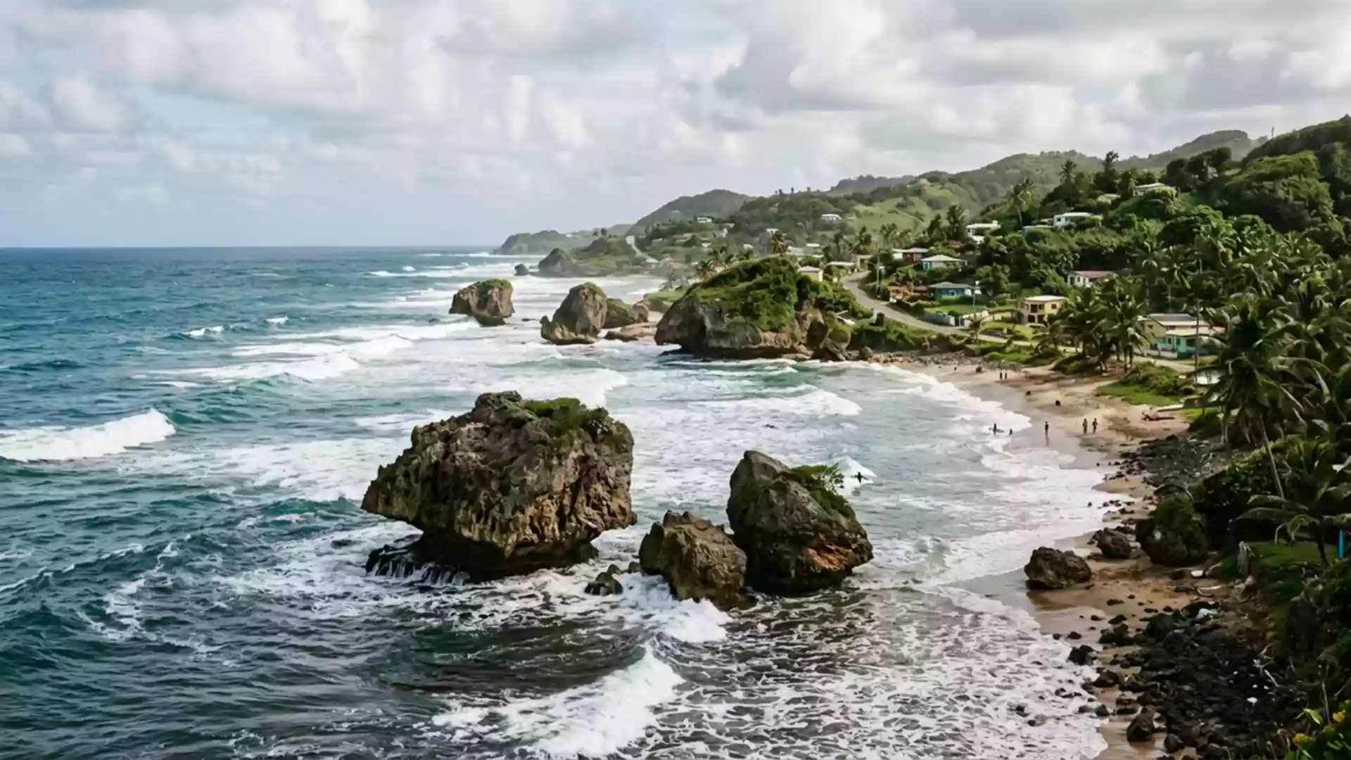
Bathsheba and the Atlantic surf coast of Saint Joseph
Published on 09/08/2026 at 15:50 | Editorial responsibility: Rafael Müller, Editor-in-Chief AD HOC NEWS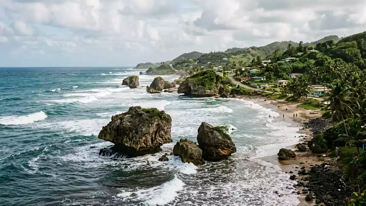
Bathsheba in the parish of Saint Joseph on Barbados’s east coast brings houses, fishing boats and powerful Atlantic surf together along a rugged fringe of rock and reef. The village stands in the island’s Scotland District, a landscape where folded hills drop towards the ocean and Bathsheba’s shoreline forms one of Barbados’s clearest edges between land and sea.
Atlantic village between hills and reef
Bathsheba is recognised as the main fishing village in Saint Joseph, with its settlement spread along the east coastline facing the Atlantic Ocean rather than the calmer Caribbean side of Barbados.main fishing village in Saint Joseph Houses and small streets follow the line of the shore and the lower slopes behind it, forming a loose band of buildings that mirrors the curves of the coastline in this part of the Scotland District.Scotland District
The surrounding hills form a backdrop that rises inland from the sea, cut by gullies and small valleys that carry roads and tracks down towards Bathsheba. From these higher points the view opens over the village and the reef-dotted coastline, with the Atlantic stretching unbroken to the horizon and lines of swell running towards the shore.
Rock formations, coral reef and the Soup Bowl
Bathsheba’s shoreline is marked by large coral boulders and rock outcrops that stand scattered across the beach and in the shallows, shaped over time by the Atlantic’s waves.coral boulders At low tide the reef and rock shelves lie exposed between pools and channels, while higher tides send white water across them, breaking around the formations and sending spray into the air along much of the bay.
To one side of Bathsheba lies the surf break known as Soup Bowl, a right-hand reef wave that has become one of Barbados’s best-known surf spots.right-hand reef break The wave runs over coral and limestone reef and forms a defined section where swells from the Atlantic wrap onto the shelf and stand up into steep faces, offering long rides for experienced surfers when conditions align.Soup Bowl
Bathsheba’s shore life and parish setting
The life of Bathsheba reflects its position as a coastal village in Saint Joseph, with fishing boats pulled up on the sand and simple structures close to the water’s edge. Churches and other community buildings stand in and above the village, and the main roads link Bathsheba with the wider network of settlements on Barbados’s eastern side.Fischerdorf im Parish Saint Joseph The parish itself forms one of Barbados’s administrative divisions, and Bathsheba’s position on its coast gives the village a direct relationship with the Atlantic that shapes its outlook and daily rhythms.
The wider Scotland District around Bathsheba is known for its distinctive geology, with older rock formations and slopes that differ from the flatter coral limestone areas elsewhere on Barbados.Atlantic-facing east coast Here, hills rise and fall in a series of ridges and valleys that run towards the sea, so that from many points in and around Bathsheba there are clear views both inland to the folded terrain and outwards to the reef and open ocean.
Visiting Bathsheba: what travellers from Western Europe should know
- Bathsheba lies in the parish of Saint Joseph on Barbados’s Atlantic-facing east coast and is reached by road from other parts of the island, including routes that descend from the higher ground of the Scotland District.
- The shoreline combines sandy stretches with exposed rock and reef, and walking along the beach involves crossing uneven ground where pools, channels and boulders interrupt the line of the sand.
- Nearby viewpoints on the inland slopes give elevated views over Bathsheba and its coastline, with roads that climb through the hills and then drop towards the village.
- Barbados lies outside the UK, Ireland and the EU. Entry requirements depend on your nationality; UK travellers can check the FCDO travel advice at gov.uk/foreign-travel-advice, Irish travellers the Department of Foreign Affairs at ireland.ie.
- The official language is English and the currency is the Barbados dollar.
Searching for Bathsheba on social platforms
These links open searches for Bathsheba on each platform.
Frequently asked questions about Bathsheba
Where is Bathsheba located?
Bathsheba is a coastal village in the parish of Saint Joseph on the east coast of Barbados, facing the Atlantic Ocean and lying within the island’s Scotland District.
What should visitors expect on a visit to Bathsheba?
Visitors encounter a fishing village arranged along a rugged shore, with coral boulders, reef shelves, Atlantic waves and roads that climb from the coastline into the surrounding hills.
What makes Bathsheba distinctive within Barbados?
Bathsheba stands out for its Atlantic-facing setting, scattered rock formations on the beach and the presence of the Soup Bowl reef break, which together give the village a strongly defined surf and shore character.