Bathsheba and the Atlantic edge of Saint Joseph
Published on 08/31/2026 at 09:40 | Editorial responsibility: Rafael Müller, Editor-in-Chief AD HOC NEWS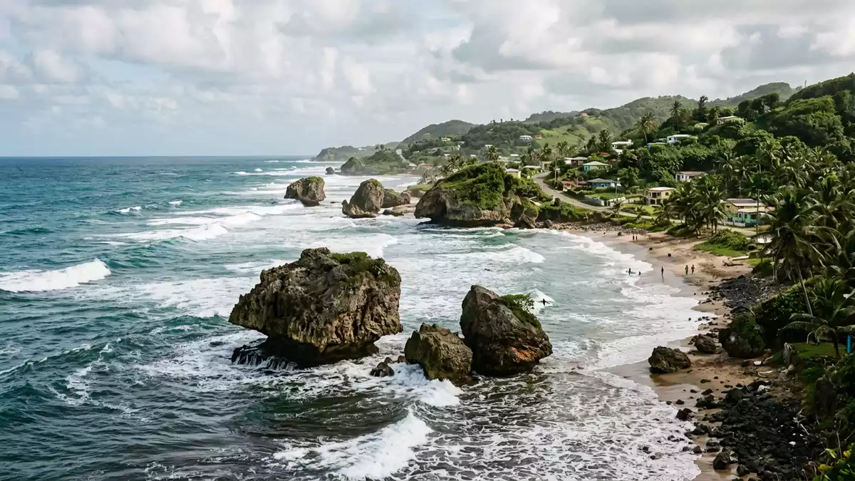
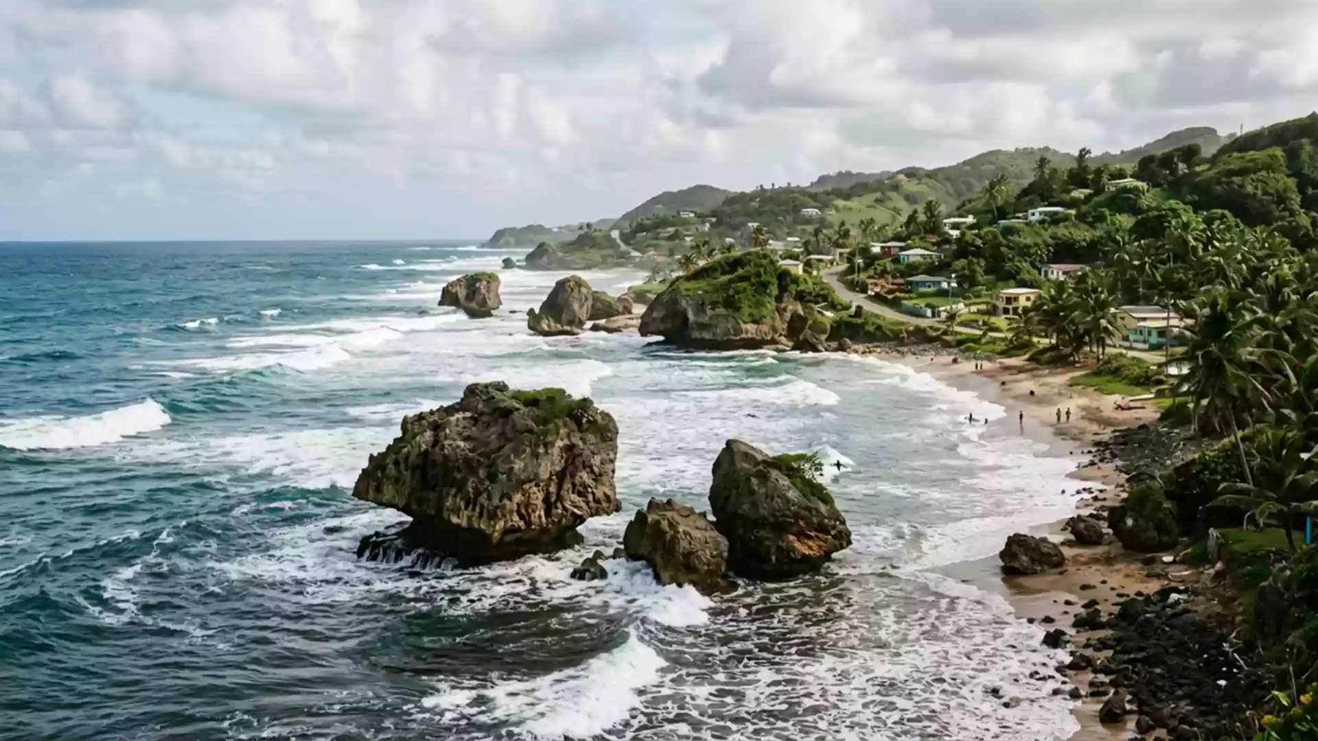
Bathsheba in Saint Joseph is a fishing village on Barbados’s Atlantic coast where houses, beach and reef sit unusually close together along a rugged shoreline. The village stands on the island’s eastern side in the Scotland District, a landscape of folded hills that fall towards the ocean in a series of slopes and gullies from which Bathsheba’s coast emerges as one of the most strongly defined edges between land and sea on Barbados.
Bathsheba between hills and Atlantic
Bathsheba lies on the east coast of Barbados within the parish of Saint Joseph, facing directly onto the Atlantic Ocean rather than the island’s calmer western waters.east coast of Barbados The settlement is recognised as the main fishing village in Saint Joseph, with housing and small streets arranged along and above the shoreline in a loose pattern that follows the contours of the coast.main fishing village in Saint Joseph
Behind Bathsheba the land rises into the Scotland District, a long-established name for the hilly area that occupies much of Barbados’s interior in this part of the island.Scotland District From these hills, roads and tracks descend towards Bathsheba, bringing travellers out at points where the first sight is often the line of coral boulders and the Atlantic surf that give the place its immediate visual identity. The combination of rising slopes inland and exposed ocean frontage makes Bathsheba a clear contrast to Barbados’s resort-lined west coast and its more sheltered bays.
Coral boulders, Bathsheba Rock and the Soup Bowl
Bathsheba’s shoreline is marked by large coral boulders that stand in the shallows and on the beach, remnants of an ancient reef that has been shaped by Atlantic wave action into distinctive forms.huge coral boulders Among these formations, a prominent offshore boulder known as Bathsheba Rock appears in many views and photographs of the area, acting as a clear focal point when looking along the coast from either direction.Bathsheba Rock
The Atlantic swell and the configuration of reef and seabed have given Bathsheba a surf break that carries its own name: the Soup Bowl. This break lies at one end of the beach and is firmly established as a wave surfed by experienced board riders from Barbados and abroad, with competitions held at intervals that have helped fix the name in Caribbean surfing culture.surfing at Bathsheba Together, the Soup Bowl, Bathsheba Rock and the line of coral boulders give the coast a broken, textured profile that differs markedly from the long, open sands associated with other parts of Barbados.
Village life and coastal use
Bathsheba functions as a fishing village as well as a place recognised for its scenery, with boats and equipment forming part of everyday scenes along parts of the shore.fishing folk The settlement includes churches and small businesses, and over the twentieth century it became associated with longer stays by Barbadian residents who maintained beach houses in the area, making use of the coastal setting as a retreat from other districts.seaside village long known as a health resort
Along the beach, shallow rock pools form among the boulders at low tide, creating enclosed pockets of sea water separated from the main surf.rock pools among the boulders These pools, the fishing activity and the presence of the Soup Bowl surf break give Bathsheba’s coast several distinct uses along a relatively short stretch of shoreline. Visitors encounter working boats, surfboards and people exploring the pools within sight of one another, all framed by the persistent Atlantic swell.
Visiting Bathsheba: what travellers from Western Europe should know
- Bathsheba is on Barbados’s east coast in the parish of Saint Joseph, reached by road from other parts of the island, including routes that descend from the higher ground of the Scotland District.
- The shoreline combines beach, reef and large coral boulders, and sections of the coast are uneven underfoot, with rock pools and exposed Atlantic water requiring care when moving close to the edge.
- The surrounding land rises into hills inland from Bathsheba, so approaches by road often involve bends and gradients before descending towards the village and its coastal frontage.
- The official language is English and the currency is the Barbadian dollar.
- Entry requirements depend on your nationality; UK travellers can check the FCDO travel advice at gov.uk/foreign-travel-advice, Irish travellers the Department of Foreign Affairs at ireland.ie.
Searching for Bathsheba on social platforms
These links open searches for Bathsheba on each platform.
Frequently asked questions about Bathsheba
Where is Bathsheba and what kind of place is it?
Bathsheba is a fishing village on the Atlantic-facing east coast of Barbados, in the parish of Saint Joseph, with its settlement arranged along a rugged shoreline.
What should visitors expect when they reach Bathsheba’s coast?
The coast combines sand, reef and large coral boulders, with Atlantic surf breaking against the formations, rock pools forming at low tide and sections of shoreline that are uneven underfoot.
What makes Bathsheba distinctive compared with other parts of Barbados?
The combination of the Soup Bowl surf break, the coral boulders including Bathsheba Rock, and the working fishing village gives Bathsheba a strongly defined Atlantic character unlike the island’s sheltered western bays.