
Al Jabal al Akhdar above Nizwa’s limestone terraces
Published on 09/21/2026 at 12:16 | Editorial responsibility: Rafael Müller, Editor-in-Chief AD HOC NEWS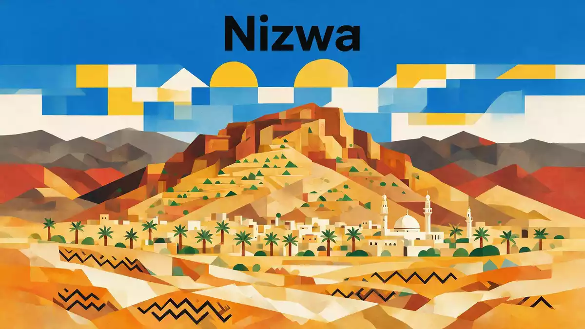
Al Jabal al Akhdar, the “Green Mountain” above Nizwa in northern Oman, forms a high limestone upland in the Western Al Hajar Mountains where terraces, orchards and cliffs occupy the same rugged plateau landscape. Rising to elevations of well over 2,000 m (6,562 ft), this mountain region sits in Oman’s Ad Dakhiliyah Governorate and has become a distinctive highland area in the interior north of Nizwa.
Al Jabal al Akhdar in the Western Al Hajar Mountains
Al Jabal al Akhdar lies in the central part of the Oman Mountains, within the Western Al Hajar range that stretches between the interior around Nizwa and the coastal plain towards Muscat. The massif forms a broad upland centred on the Saiq Plateau, a high tableland whose edges drop away into canyons and gorges that mark the transition from the plateau to the lower valleys.Saiq Plateau
The wider Al Hajar Mountains include nearby high summits such as Jabal Shams, which reaches over 3,000 m (9,843 ft) and contributes to the strong relief of the region, but Al Jabal al Akhdar itself is characterised less by a single peak than by its elevated plateau system.elevations of well over 2,000 m Within this highland the terrain alternates between more gently inclined plateau surfaces and steep flanks cut by deep ravines.
Geology of a limestone dome
Geologically, Al Jabal al Akhdar is part of a large dome-like culmination of Permian to Cretaceous shelf carbonate rocks that form the core of the central Oman Mountains.Permian to Late Cretaceous carbonate sequence The rocks exposed in the dome include thick successions of limestones and dolomitic limestones with abundant marine fossils, recording a long history of sedimentation on the former continental shelf along the southern margin of the Tethys Ocean.
The structure of the mountain reflects large-scale folding and doming associated with tectonic events in the Late Cretaceous, when thrust sheets including the Semail ophiolite advanced across the Arabian margin from the north-east.Jabal Akhdar dome As a result, the limestone strata around Al Jabal al Akhdar now dip away from a broad central high, and fractures, joints and solution features in the carbonate rocks influence how water moves through the mountain and emerges in springs and irrigated gardens.
Terraces, orchards and mountain villages
Across the plateau and along the slopes of Al Jabal al Akhdar, terraced fields and orchards occupy benches of rock where soil has been retained, forming stepped agricultural landscapes that follow the contours of the mountain. Traditional falaj irrigation channels carry water along these terraces to orchards that grow pomegranates, apricots, grapes and other fruits adapted to the cooler upland climate.terraced orchards and falaj irrigation
Small villages on and around the Saiq Plateau cluster near these cultivated terraces and irrigation systems, with stone houses facing out towards valleys and cliffs. In places the plateau edge drops into gorges that form a striking contrast between cultivated slopes and bare rock walls, and occasional cliff-top viewpoints look out over deep ravines and distant ridges. Contemporary resorts such as Anantara Al Jabal Al Akhdar occupy positions on the rim of the plateau, overlooking a canyon and offering views back across the limestone uplands above Nizwa.cliff-top resort on the Saiq Plateau
Visiting Al Jabal al Akhdar: what travellers from Western Europe should know
- Al Jabal al Akhdar lies north of Nizwa in Oman’s interior, within the Al Hajar Mountains in Ad Dakhiliyah Governorate. Access is by mountain road from the lowland highway that runs through Birkat al-Mawz towards Nizwa, where a steep ascent leads to the Saiq Plateau.
- The terrain on Al Jabal al Akhdar is rocky and elevated, with steep slopes, narrow roads and viewpoints overlooking deep gorges. Walking routes often follow terrace paths and village tracks, and any extended exploration involves gradients and steps on stone surfaces.
- The high plateau sits at elevations above 2,000 m (6,562 ft), so temperatures and weather conditions differ from those on the plains around Nizwa, and cloud and haze can affect long views across the surrounding mountains.
- The official language is Arabic and the currency is the Omani rial.
- Entry requirements depend on your nationality; UK travellers can check the FCDO travel advice at gov.uk/foreign-travel-advice, Irish travellers the Department of Foreign Affairs at ireland.ie.
Searching for Al Jabal al Akhdar on social platforms
These links open searches for Al Jabal al Akhdar on each platform.
Frequently asked questions about Al Jabal al Akhdar
Where is Al Jabal al Akhdar in relation to Nizwa?
Al Jabal al Akhdar lies north of Nizwa in Oman’s Ad Dakhiliyah Governorate, forming part of the Western Al Hajar Mountains and rising above the city’s surroundings on the Saiq Plateau.
What should visitors expect when they reach the plateau?
Visitors encounter a high limestone upland with rocky slopes, terraced orchards, small villages and viewpoints over deep gorges, all set at elevations above 2,000 m (6,562 ft).
What makes Al Jabal al Akhdar distinctive among Oman’s mountains?
Al Jabal al Akhdar combines a large geological limestone dome with cultivated terraces and orchards on a high plateau, creating a landscape where agriculture and rugged mountain terrain share the same elevated setting.


