
Zion National Park and the sandstone canyon of the Virgin River
Published on 08/20/2026 at 22:06 | Editorial responsibility: Rafael Müller, Editor-in-Chief AD HOC NEWS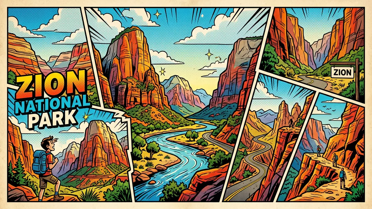
Zion National Park in Utah centres on a sandstone canyon cut by the North Fork of the Virgin River, with sheer cliffs rising above a narrow valley near Springdale. Established as a United States national park on 19 November 1919, it preserves a segment of the Colorado Plateau where desert rock layers create a dramatic staircase of colourful formations.
Sandstone walls and the curve of Zion Canyon
The core of Zion National Park is Zion Canyon, a deep gorge carved by the North Fork of the Virgin River through thick sandstone of the Colorado Plateau in south-western Utah. The canyon forms part of a larger sequence of uplifted and eroded rock layers known as the Grand Staircase, which stretches between Bryce Canyon and the Grand Canyon along the plateau’s edge.Colorado Plateau edge The steep walls above the river are composed largely of Navajo Sandstone, an orange to white rock that forms towering cliffs and buttresses on both sides of the canyon.Navajo Sandstone cliffs
The Virgin River’s North Fork winds along the canyon floor, its stream gradient among the steeper in North America, and has been a central agent in cutting the gorge through relatively weak and porous sandstone.Virgin River gradient High above the valley, the plateau surface carries desert vegetation, while the lower ground beside the river supports riparian forest and meadows that contrast with the bare rock rising behind them.riparian zone along the river
Layers of deep time in Zion’s geology
Zion National Park exposes a long sequence of sedimentary formations laid down between the Permian Period and the Jurassic, each representing different ancient environments on the Colorado Plateau. The oldest rocks visible in the wider Zion area include the Kaibab Formation, a marine limestone and siltstone deposited in a shallow tropical sea around 260 million years ago, forming part of the Grand Canyon rim and continuing beneath the plateau.Kaibab Limestone of the Permian Above this, younger Triassic formations such as the Moenkopi and Chinle consist of mudstone, sandstone and conglomerate laid down on coastal flats, river floodplains and in channels of large river systems.Triassic formations of Zion
The dominant cliffs in Zion Canyon are formed by Navajo Sandstone, a Jurassic unit created from immense dune fields where wind deposited cross-bedded sand in a desert setting around 180 million years ago.Jurassic desert dunes Beneath these pale walls, crumbly slopes of the Moenave and Kayenta formations lead down to the river, their reddish sandstones and siltstones marking the remains of streams, ponds and floodplains that predate the great dunes. Together, these stacked layers give visitors standing in the canyon an exposed cross-section through more than 200 million years of geological history on the Colorado Plateau.geological history over millions of years
From Mukuntuweap monument to Utah’s first national park
The landscape that became Zion National Park was first given federal protection in 1909, when it was reserved as Mukuntuweap National Monument under United States law. In 1918 the protected area was enlarged and renamed Zion National Monument, adopting a name already associated with the canyon and its surroundings. On 19 November 1919, Congress redesignated the monument as Zion National Park, and President Woodrow Wilson signed the act that made it Utah’s first national park.national park designation in 1919earlier Mukuntuweap monument
Springdale developed immediately outside the park’s south entrance, and the town remains closely tied to the canyon, with landslide deposits and cliff bands of Moenave and Kayenta sandstone visible on the slopes above the community.landslides near Springdale The Virgin River continues to cut into its gorge, and occasional rockslides and other geologic events leave traces in the landscape that visitors can see along the approach to the park and within the canyon itself.erosion shaping the canyon
Visiting Zion National Park: what travellers from Western Europe should know
- Zion National Park lies in south-western Utah, with the main entrance just north of Springdale; the closest major transport hubs are in Las Vegas and Salt Lake City.
- The canyon floor sits at moderate elevation, while viewpoints and trails reach much higher sandstone rims, so approaches can involve significant ascent on exposed desert slopes.
- The terrain combines paved routes with sandy and rocky sections beside the river, and steep inclines where paths rise from the valley towards the plateau.
Searching for Zion National Park on social platforms
These links open searches for Zion National Park on each platform.
Frequently asked questions about Zion National Park
Where is Zion National Park?
Zion National Park is in south-western Utah in the United States, with Zion Canyon extending north from the town of Springdale at the park’s south entrance.
What can visitors expect on a visit?
Visitors encounter a desert canyon landscape with steep Navajo Sandstone cliffs, a river winding along the valley floor, and marked contrasts between bare rock and vegetated riparian zones.
What makes Zion National Park distinctive?
The combination of a deep Virgin River gorge, very thick Navajo Sandstone cliffs and an accessible cross-section through long geological time gives Zion a distinctive sandstone canyon character.


