
Zion National Park and the sandstone canyon of Springdale
Published on 08/28/2026 at 22:51 | Editorial responsibility: Rafael Müller, Editor-in-Chief AD HOC NEWS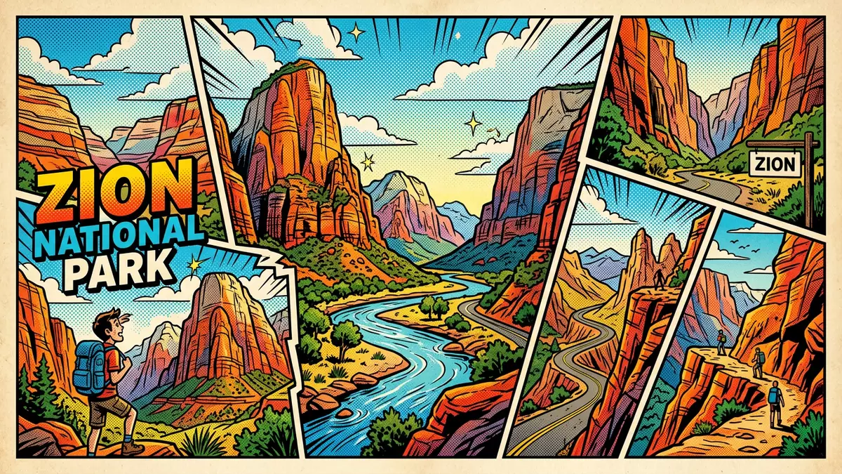
Zion National Park in southern Utah frames Springdale with a sandstone canyon where the Virgin River has carved steep walls into the high plateau over millions of years. Zion Canyon, the park’s principal feature, runs for about 24 km through layered rock and reaches depths of roughly 600 to 900 m, giving visitors an immediate sense of vertical scale as soon as they enter from Springdale.Zion Canyon, carved by the Virgin River
Sandstone walls and deep time in Zion Canyon
The red, cream and rust-coloured cliffs that define Zion National Park are built from sedimentary rock laid down between about 270 and 110 million years ago, when this part of what is now the Colorado Plateau moved through coastal plains, deserts and shallow tropical seas.Rock layers deposited over hundreds of millions of years Most of the visible formations are sandstones and mudstones, stacked in distinct bands that trace the changing environments of the region.
The towering cliffs of Navajo Sandstone, formed roughly 185 to 180 million years ago from ancient desert dunes, are among the most recognisable features of the park, rising hundreds of metres above the canyon floor.Navajo Sandstone formed in a desert environment Beneath them lie older formations such as the Kayenta and Moenkopi layers, composed of reddish sandstones, mudstones and siltstones deposited by rivers, floodplains and tidal flats. Together these units form part of the Grand Staircase, a vast sequence of rocks extending across Utah and Arizona.
From Mukuntuweap monument to national park
The canyon that is now Zion National Park entered the United States conservation system in the early twentieth century, when President William Howard Taft proclaimed Mukuntuweap National Monument on 31 July 1909 to protect the gorge and its surroundings.Mukuntuweap National Monument proclaimed in 1909 In 1918 the protected area was enlarged and renamed Zion National Monument, reflecting the name given to the canyon by Mormon settlers who arrived in the 1850s and 1860s.
On 19 November 1919 the monument was redesignated as Zion National Park by an Act of Congress, establishing a park whose boundaries were later extended to include the Kolob Canyons area in 1937 and fully combined in 1956.Zion granted national park status in 1919 The settlement of Springdale, just outside the south entrance, developed as a base for farms and orchards and then as a gateway community for visitors heading into the canyon.
Trails, viewpoints and named landmarks
Zion National Park’s steep sandstone architecture has given rise to a series of named cliffs, peaks and viewpoints that structure how visitors experience the canyon. The Court of the Patriarchs, a group of three peaks named Abraham, Isaac and Jacob, stands prominently above the canyon floor and provides one of the most recognisable skyline profiles in the park.Court of the Patriarchs named for biblical figures Close by, Zion Lodge sits near the Virgin River and serves as a starting point for walks to waterfalls and pools tucked beneath the cliffs.
Two of the most remarked-upon routes in Zion are the Narrows and Angels Landing. The Narrows follows the Virgin River through one of the tightest parts of Zion Canyon, where water, walls and sky form a narrow corridor and much of the route involves walking in the riverbed.The Narrows route through the Virgin River gorge Angels Landing climbs via a long ascent from the canyon floor to a high viewpoint on the sandstone ridge, giving expansive views along the length of Zion Canyon and revealing the full depth of the gorge.
Visiting Zion National Park: what travellers from Western Europe should know
- Zion National Park lies in south-western Utah, with its main entrance at Springdale; Springdale is reached by road from regional centres such as St George and Las Vegas.
- The main section of Zion Canyon is enclosed by high sandstone walls, and many routes involve substantial ascents on well-constructed paths and stairways.
- Several trails enter the bed of the Virgin River, and those routes involve walking on uneven river stones with water flowing around and between them.
- The park sits on the Colorado Plateau at elevations that reach well above 1,000 m (3,281 ft), and approaches to viewpoints may include sustained gradients.
- The official language is English and the currency is the United States dollar.
Searching for Zion National Park on social platforms
These links open searches for Zion National Park on each platform.
Frequently asked questions about Zion National Park
Where is Zion National Park and how is it related to Springdale?
Zion National Park is in south-western Utah in the United States, with its main entrance located at Springdale, a small town at the mouth of Zion Canyon.
What should visitors expect on a first visit to Zion National Park?
Visitors encounter a deep sandstone canyon shaped by the Virgin River, with high cliffs, established trails to viewpoints and routes that enter the riverbed, all framed by desert and plateau landscapes.
What makes Zion National Park distinctive among canyon landscapes?
Zion combines a relatively narrow, deep canyon with striking Navajo Sandstone cliffs and named landmarks such as the Court of the Patriarchs, the Narrows and Angels Landing, all concentrated around Springdale.


