
Xcaret’s rivers and Maya ruins on the Riviera Maya coast
Published on 09/07/2026 at 09:37 | Editorial responsibility: Rafael Müller, Editor-in-Chief AD HOC NEWS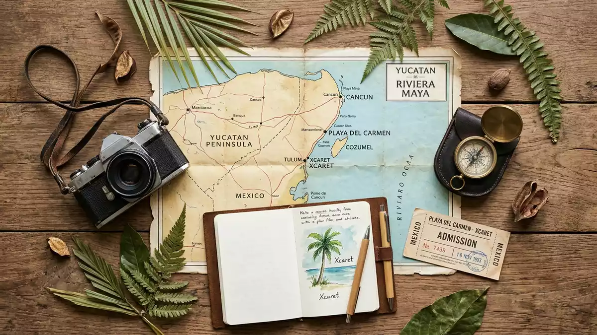
Xcaret on Mexico’s Riviera Maya coast south of Playa del Carmen is an eco?archaeological park where underground rivers, traces of Maya settlement and Caribbean shoreline share the same limestone landscape. Opened to visitors in December 1990, it grew from land acquired by architect Miguel Quintana Pali and partners and developed into a large park that weaves nature and heritage into a single coastal site.
Rivers under limestone and a Caribbean inlet
The land that became Xcaret sits on the eastern coast of Quintana Roo, where porous limestone is riddled with caves and channels carrying underground rivers towards the Caribbean Sea. When Miguel Quintana Pali began clearing a tract of jungle and coastal rock after acquiring several hectares near Playa del Carmen in 1984, workers uncovered cenotes and underground rivers running beneath the trees alongside visible traces of stone building.Clearing the site in 1984 This discovery helped shape what became an ecological park, using the natural watercourses and openings as central features rather than obstacles.
The modern park extends across around 81 hectares (about 200 acres) of jungle, coastal rock and inlet, with paths, platforms and viewing points laid out around the water and vegetation.Around 81 hectares of land Visitors move between stretches of underground river enclosed within rock, open sections where the channels meet the sea and a natural inlet that gives the site its name. The word Xcaret is associated with a small inlet or creek in Maya usage, linked to the cove that opens from the limestone coast into the Caribbean.Name linked to a small inlet
Maya port and archaeological remains within the park
Long before the modern park existed, this stretch of coast formed part of a pre?Columbian Maya settlement that functioned as a port and ceremonial centre for communities along the Caribbean shore. Archaeological work under Mexico’s National Institute of Anthropology and History (INAH) has documented small temples, platforms and other stone structures in and around the site, many dated mainly to the period between about AD 1200 and 1500.Maya settlement between AD 1200 and 1500 Some of these remains lie within the grounds of the present?day park as low platforms, walls and reconstructed elements alongside paths and planted areas.
The proximity between underground rivers, coastal inlet and Maya remains is one of the defining features of Xcaret. Stone structures stand among jungle vegetation and limestone outcrops, with views towards the Caribbean Sea on one side and towards internal watercourses on another. The park’s layout incorporates these remnants into its routes: visitors encounter masonry fragments, small temples and platforms not in a separate fenced zone but woven into the wider landscape of caves, rivers and coastal views.
From private land to eco?archaeological park
The modern Xcaret project began in the mid?1980s when architect and entrepreneur Miguel Quintana Pali acquired land near Playa del Carmen with the aim of developing it. As underground rivers, cenotes and Maya remains emerged from the clearing process, he joined forces with Oscar, Marcos and Carlos Constandse to form what became Grupo Xcaret and developed the idea of an ecological park open to the public.Opening history of Xcaret Construction of visitor infrastructure took shape towards the end of the 1980s, with paths, viewing platforms and service buildings laid out around the natural and archaeological features.
Xcaret opened to visitors in December 1990 as an eco?archaeological park that integrated caves, rivers and heritage structures into a single site.Opening in December 1990 Over subsequent years the park expanded its facilities and attractions while retaining the combination of natural watercourses, jungle vegetation and Maya remains as its core identity. It now forms the flagship property of Grupo Xcaret and a prominent site within the tourism corridor that links Cancún, Playa del Carmen and Tulum along the Caribbean coast of eastern Mexico.Flagship park on the Riviera Maya
Visiting Xcaret: what travellers from Western Europe should know
- Xcaret lies on the Riviera Maya coast of Quintana Roo a short distance south of Playa del Carmen along the Chetúmal–Puerto Juárez highway in eastern Mexico.
- Within the park, many routes run over uneven limestone surfaces, boardwalks and stairs, with some approaches to river areas and viewpoints involving sets of steps.
- The park sits beside the Caribbean Sea, with the coastal inlet and sea views forming a visible part of the site alongside jungle vegetation and inland water channels.
- The official language is Spanish and the currency is the Mexican peso.
- Entry requirements depend on your nationality; UK travellers can check the FCDO travel advice at gov.uk/foreign-travel-advice, Irish travellers the Department of Foreign Affairs at ireland.ie.
Searching for Xcaret on social platforms
These links open searches for Xcaret on each platform.Frequently asked questions about Xcaret
Where is Xcaret located?
Xcaret is on Mexico’s Riviera Maya coast in the state of Quintana Roo, a short distance south of Playa del Carmen along the Chetúmal–Puerto Juárez highway.
What can visitors expect on a visit to Xcaret?
Visitors encounter underground rivers within limestone, jungle vegetation, a coastal inlet opening towards the Caribbean Sea and Maya remains incorporated into paths and viewing areas.
What makes Xcaret distinctive among coastal parks?
Xcaret combines cenotes, underground rivers and a Caribbean shoreline with visible Maya port remains from roughly the thirteenth to fifteenth centuries within a single, continuous park landscape.


