
Xcaret brings rivers and Maya ruins together
Published on 09/24/2026 at 12:08 | Editorial responsibility: Rafael Müller, Editor-in-Chief AD HOC NEWS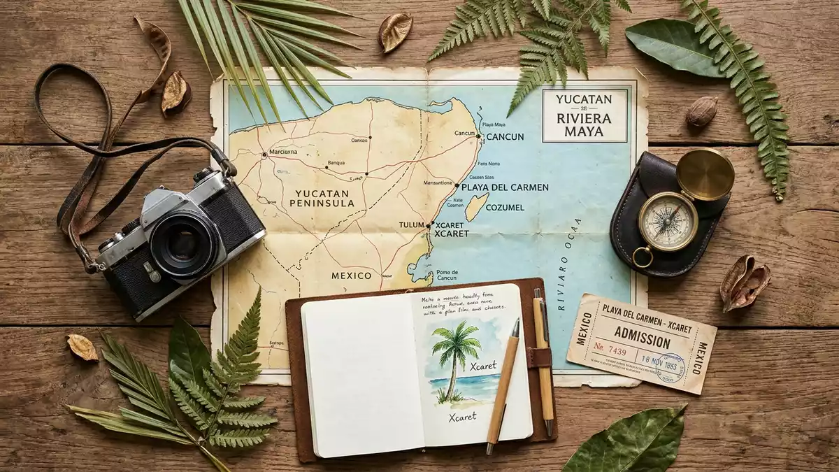
Xcaret is a coastal eco-archaeological park south of Playa del Carmen, where underground rivers, limestone terrain and Maya remains share one site. Opened in December 1990, it carries the name of a pre-Hispanic settlement whose stone structures occupy parts of the modern grounds.
Xcaret’s limestone landscape and underground rivers
The physical setting begins with the limestone of the Yucatán Peninsula. Rainwater moves through porous rock, forming caves, cenotes and underground channels that appear across the coastal landscape. At Xcaret, these features are part of the place’s visible character.
The underground rivers run through rock passages and open sections connected with the site’s wider water system. Their courses bring together water, cave walls and tropical vegetation within the park. The coastline adds another distinct setting, with the Caribbean beside the archaeological and natural areas.
A Maya port on the Caribbean coast
The name Xcaret belongs to an ancient Maya settlement on the coast. The site functioned as a port and ceremonial centre, with maritime links along the Caribbean shore. Its archaeological remains include platforms, walls and other stone structures in the coastal architectural tradition.
The settlement’s principal occupation is associated with the period between about AD 1200 and 1500. Xcaret’s Maya port is also linked with journeys across the sea to Cozumel and with trade along the Caribbean coast.
From archaeological site to cultural park
The modern project began in the 1980s under architect and entrepreneur Miguel Quintana Pali. He later worked with Oscar, Marcos and Carlos Constandse, and Xcaret opened to visitors in December 1990. Xcaret’s opening date marks the beginning of the modern park’s public life.
Xcaret combines natural areas, archaeological remains, wildlife spaces, performance venues and cultural displays. The pre-Hispanic structures are distributed through several parts of the grounds, including the tropical jungle trail and areas near the cove. The archaeological remains therefore form part of the park’s landscape rather than a separate, isolated monument.
Visiting Xcaret: what travellers from Western Europe should know
- Xcaret lies south of Playa del Carmen in Quintana Roo, beside the Chetumal–Puerto Juárez highway. Road transport connects the site with Playa del Carmen and other Riviera Maya destinations.
- The underground rivers pass through cave sections and open channels. Water, uneven rock and enclosed passages form part of the physical setting.
- The archaeological zone lies within the wider grounds. Its platforms and walls appear near planted areas, the cove and the tropical jungle trail.
- The official language is Spanish and the currency is the Mexican peso.
- Entry requirements depend on your nationality; UK travellers can check the FCDO travel advice at gov.uk/foreign-travel-advice, Irish travellers the Department of Foreign Affairs at ireland.ie.
Searching for Xcaret on social platforms
These links open searches for Xcaret on each platform.Frequently asked questions about Xcaret
Where is Xcaret?
Xcaret is on Mexico’s Riviera Maya coast in Quintana Roo, south of Playa del Carmen. It stands beside the Chetumal–Puerto Juárez highway.
What can visitors find at Xcaret?
The site contains underground rivers, caves, cenotes, tropical vegetation, Caribbean shoreline, archaeological remains, wildlife areas and cultural performance spaces.
What makes Xcaret distinctive?
Xcaret places natural water systems and Maya remains within one coastal cultural park. Its identity comes from the visible combination of limestone, underground rivers and pre-Hispanic architecture.


