
Whitehaven Beach and its silica-white arc of sand
Published on 08/30/2026 at 11:20 | Editorial responsibility: Rafael Müller, Editor-in-Chief AD HOC NEWS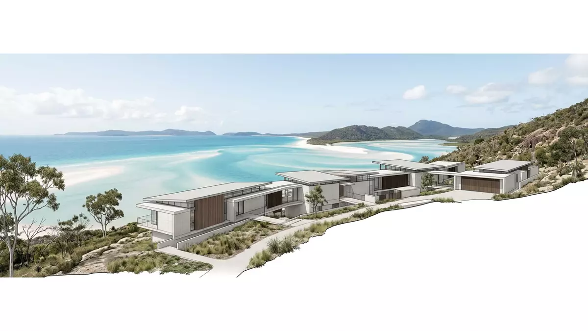
On the eastern side of Whitsunday Island in Queensland, Australia, Whitehaven Beach runs as a long, pale ribbon between dense vegetation and the Coral Sea. Its broad sweep of nearly pure silica sand and the shallow, shifting water at Hill Inlet give this stretch of coast a distinctive, almost abstract appearance that has become a defining image of the Whitsundays.
A silica-white shoreline on Whitsunday Island
Whitehaven Beach lies on the south-east coast of Whitsunday Island, the largest island in the Whitsunday Islands group off the central coast of Queensland. The beach forms a continuous strand of sand that measures about 7 km (4.3 miles) along the island’s eastern side, curving gently with the outline of the shore and backed by low hills and coastal vegetation.Whitehaven Beach is on Whitsunday Island The broader setting forms part of the Whitsunday Islands National Park, bringing the beach into a protected landscape of forested islands and reef-fringed bays.Whitsunday Islands National Park
The sand itself is the element visitors notice first. Unlike many Australian beaches where sand mixes shell fragments and darker minerals, Whitehaven’s shore is composed largely of very fine, bright silica grains. Several studies and descriptions place the silica content in the upper ninety per cent range, giving the beach its almost luminous white colour that contrasts sharply with the greens of the island interior and the blues of the surrounding sea.blinding sand at 98% silica The grain size and composition mean that footprints and shallow channels remain clearly defined until wind or water reworks the surface.
Hill Inlet and the patterns where sand meets sea
At the northern end of Whitehaven Beach, an inlet cuts back into Whitsunday Island, creating a broad tidal channel known as Hill Inlet. Here, sand and water interleave in sweeping curves, and the incoming tide pushes tongues of clear water across the pale sandbanks. From the Hill Inlet lookout above the inlet, the view takes in meandering channels, shifting bars of white sand and pools of turquoise water that together form recognisable swirls in aerial and elevated photographs of the Whitsundays.Hill Inlet tidal estuary
Hill Inlet also marks the transition between different parts of the beach. North Whitehaven, reached from Tongue Bay on the island’s northern side, offers views over the inlet and access to shorter sections of sand in front of forested slopes, while the main southern section of Whitehaven stretches away in a long, uninterrupted arc. At lower tides, sandbars emerge as pale platforms within the inlet channel, while at higher tides the sea covers them in a relatively shallow sheet of water whose colour changes with depth, creating bands of light blue, turquoise and deeper blue in quick succession.Whitehaven Beach and Hill Inlet
A protected beach within the Great Barrier Reef Marine Park
Whitehaven Beach forms part of a wider protected area. Whitsunday Island sits inside the Great Barrier Reef Marine Park, and the island’s land area, including the beach and its hinterland, lies within the Whitsunday Islands National Park.within the Great Barrier Reef Marine Park This protection limits built structures on the beach, which remains free of paved promenades and large permanent buildings. Facilities are concentrated in a designated camping area near the southern section, where defined sites sit just behind the sand.
The surrounding marine environment places Whitehaven Beach within one of the world’s largest coral reef systems. Offshore, reefs and shoals fringe Whitsunday Island and the neighbouring islands of the Whitsundays, creating relatively sheltered waters between the islands and the outer reef. While Whitehaven itself is primarily a wide sandy shore, nearby areas such as Chalkie’s Beach on Haslewood Island provide access to coral habitats that complement the long stretch of silica sand.across from Chalkie's Beach on Haslewood Island
Visiting Whitehaven Beach: what travellers from Western Europe should know
- Whitehaven Beach lies on Whitsunday Island off the Queensland coast, east of Airlie Beach. It is reached by boat or aircraft, with trips departing from Airlie Beach and several resort islands.
- The beach itself is a broad, gently sloping strand of fine sand backed by low vegetation. Access from boats generally involves stepping directly onto the sand, and walking along the beach can cover several kilometres.
- The Whitsundays sit in a tropical marine climate. Sun exposure on the open beach is strong, and the lack of built shade structures means any protection from the sun comes from personal clothing or temporary equipment rather than permanent shelters.
- The official language is English and the currency is the Australian dollar.
- Entry requirements depend on your nationality; UK travellers can check the FCDO travel advice at gov.uk/foreign-travel-advice, Irish travellers the Department of Foreign Affairs at ireland.ie.
Searching for Whitehaven Beach on social platforms
These links open searches for Whitehaven Beach on each platform.Frequently asked questions about Whitehaven Beach
Where is Whitehaven Beach located?
Whitehaven Beach is on the south-east side of Whitsunday Island in the Whitsundays, off the central coast of Queensland, Australia, within the Great Barrier Reef Marine Park.
What should visitors expect on a visit to Whitehaven Beach?
Visitors encounter an extended, bright shoreline of fine silica sand, clear shallow water along most of its length, and minimal built structures within a national park setting.
What makes Whitehaven Beach distinctive among Australian beaches?
The high silica content of its sand, the long, uninterrupted curve of the shore and the swirling patterns of Hill Inlet together give Whitehaven Beach a recognisable character among Australian coastal landscapes.


