
White Sands National Park, a white sea of gypsum near Alamogordo
Published on 09/15/2026 at 11:22 | Editorial responsibility: Rafael Müller, Editor-in-Chief AD HOC NEWS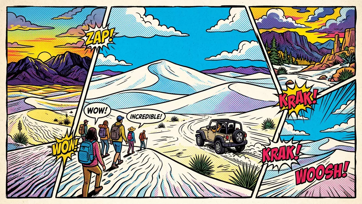
White Sands National Park near Alamogordo in southern New Mexico is defined by a broad field of white sand dunes made of gypsum crystals rather than the darker quartz grains familiar from many deserts and beaches. Set in the enclosed Tularosa Basin between the Sacramento Mountains and the San Andres Mountains, this protected area preserves a rare landscape where mineral-rich remnants of an ancient sea have been transformed into a bright, shifting dunefield that stretches across the Chihuahuan Desert.
A gypsum dune sea in the Tularosa Basin
The heart of White Sands National Park is its gypsum dune field, an expanse of sand that covers hundreds of square kilometres within the wider basin and extends into land used by the neighbouring White Sands Missile Range.The park encompasses tens of thousands of hectares of dunes that rise and fall in long, wave-like ridges across the desert floor.The protected area preserves a substantial portion of what is described as the world’s largest gypsum dunefield and gives visitors direct access to its sculpted surfaces.
These dunes sit within the Tularosa Basin, a graben-like depression that forms part of the Rio Grande Rift and is bounded by the Sacramento Mountains to the east and the San Andres Mountains to the west.The basin lies between these ranges and hosts the bright band of gypsum sands that give the park its name, with the city of Alamogordo to the north-east and Las Cruces further to the south-west.The protected landscape occupies part of Otero County and neighbouring Doña Ana County, a reminder that this apparently uniform sea of sand sits within a much larger desert region.
From Permian seas to white dunes
The story behind White Sands National Park begins long before any human presence in the basin, with a shallow sea that covered parts of what is now southern New Mexico during the Permian period more than 250 million years ago.High rates of evaporation in that ancient sea left thick layers of gypsum on the seafloor, layers that were later uplifted as surrounding mountains rose and the supercontinent Pangaea shifted.Over geological time, water dissolved gypsum from these rocks and carried it into an interior lake in the basin, concentrating the mineral as the lake’s waters ebbed and flowed.
More recently in geological terms, an ancestral lake referred to as Lake Otero occupied much of the basin floor, leaving behind broad alkali flats and supplying fresh gypsum crystals as it dried.As Lake Otero shrank after the last Ice Age, selenite gypsum precipitated onto the exposed lakebed, forming crystals that could be broken down by weathering.Prevailing winds then pushed fragments of this gypsum from the flats towards the interior of the basin, where they accumulated into dune forms that continue to shift and reform under the influence of weather.
A national park shaped by protection and research
The gypsum dunes of the Tularosa Basin were first set aside as a protected area in the early twentieth century, when President Herbert Hoover established White Sands National Monument in 1933 to preserve what was described as “white sands and additional features of scenic, scientific, and educational interest”.The presidential proclamation reserved more than 140,000 acres of gypsum dunes and surrounding desert for conservation, recognising both the unusual composition of the sands and the wider ecosystems they support.
In December 2019 the designation of the site changed from national monument to national park when the National Defense Authorization Act included language reclassifying it as White Sands National Park, making it the sixty-second area to hold national park status within the United States system.This change in status acknowledged ongoing research into the park’s geology and archaeology, including studies of fossilised Pleistocene footprints preserved in ancient mud layers and investigations into more than 10,000 years of human presence in the basin.
Visiting White Sands National Park: what travellers from Western Europe should know
- White Sands National Park lies in south-central New Mexico and its entrance is reached from U.S. Highway 70, west of Alamogordo and east of Las Cruces. Road access runs across the Tularosa Basin between the Sacramento and San Andres ranges.
- Within the park, visitors encounter sandy terrain underfoot, with dune surfaces that can be soft and uneven and some vehicle routes leading onto compacted sand. Any walk away from parking areas involves crossing low dune ridges and loose gypsum.
- The surrounding desert sits at a moderate elevation and summer sun can be strong on the open dune faces. Simple shade structures, vehicles and occasional vegetation breaks are the main places where respite from direct sunlight is available.
- White Sands National Park lies in the United States. The official language is English and the currency is the US dollar.
- Entry requirements depend on your nationality; UK travellers can check the FCDO travel advice at gov.uk/foreign-travel-advice, Irish travellers the Department of Foreign Affairs at ireland.ie.
Searching for White Sands National Park on social platforms
These links open searches for White Sands National Park on each platform.Frequently asked questions about White Sands National Park
Where is White Sands National Park located?
White Sands National Park lies in the Tularosa Basin of south-central New Mexico, between the Sacramento Mountains and the San Andres Mountains, west of Alamogordo and east of Las Cruces.
What can visitors expect on a visit to White Sands National Park?
Visitors encounter broad gypsum sand dunes that form ridges and hollows across the basin floor, with vehicle routes across compacted sand and opportunities to walk among the pale dune crests.
What makes White Sands National Park distinctive among desert landscapes?
The dunes at White Sands National Park are composed of gypsum rather than quartz, trace their origins to an ancient Permian sea, and occupy a large enclosed basin flanked by mountain ranges.


