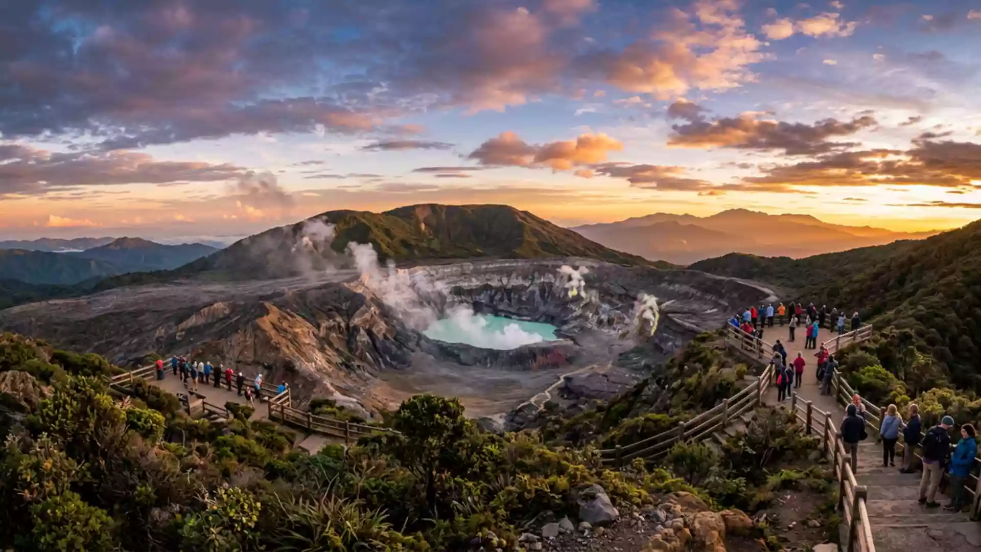
Volcan Poas and its crater lakes above Alajuela
Published on 09/15/2026 at 19:43 | Editorial responsibility: Rafael Müller, Editor-in-Chief AD HOC NEWS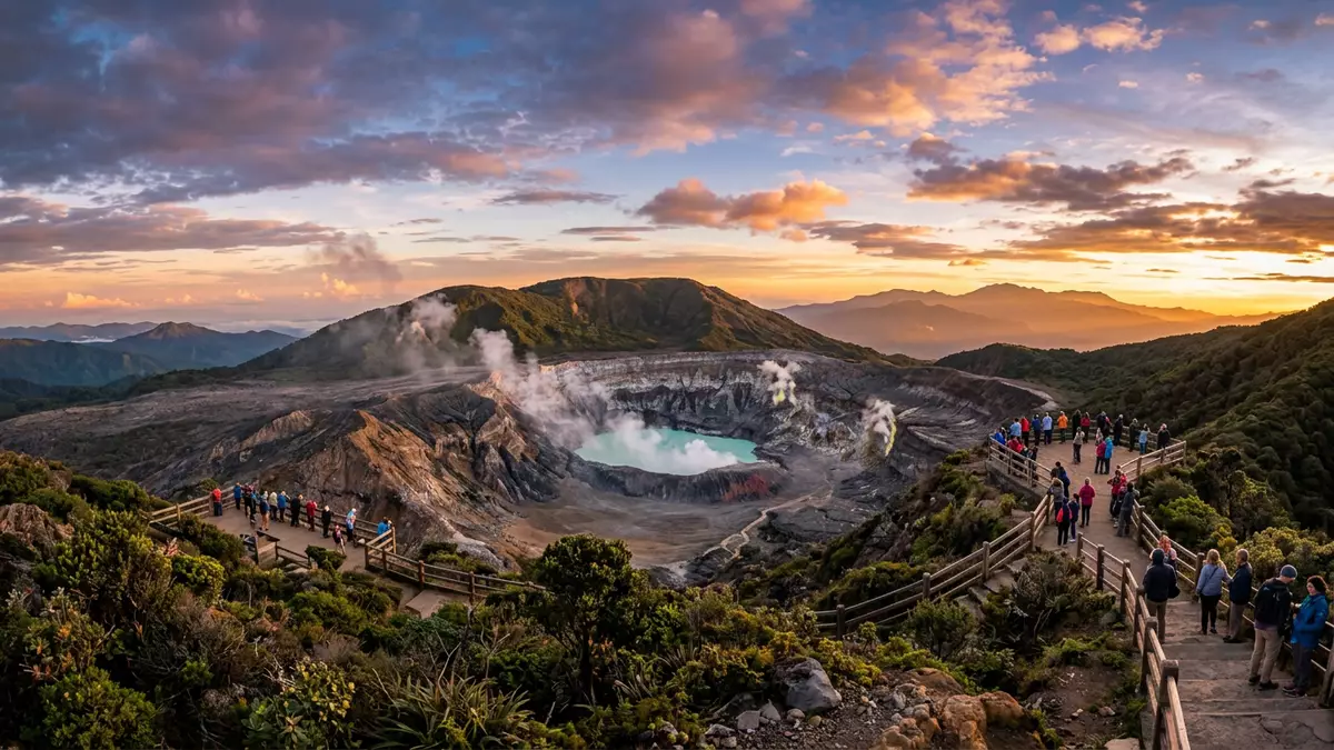
Volcan Poas in Alajuela, Costa Rica, is an active stratovolcano where visitors can look directly into a steaming crater and, a short walk away, encounter a calm crater lake framed by forest. The mountain forms the centrepiece of Poás Volcano National Park, a protected area that places a dense belt of highland greenery around an elevated volcanic summit.
A high stratovolcano shaped by craters and lakes
Volcan Poas is a stratovolcano rising to an elevation of about 2,697 m (8,848 ft), forming part of the volcanic highlands of central Costa Rica.an elevation of 2,697 m The volcano stands north of the city of Alajuela, with its broad flanks covered by vegetation and small settlements scattered across the slopes.a large, active stratovolcano located about 19 km north of Alajuela The summit area contains several craters aligned roughly from north to south, making the upper reaches feel like a plateau broken by abrupt volcanic hollows rather than a single sharp peak.
The main summit crater of Volcan Poas holds Laguna Caliente, a small crater lake heated by underlying geothermal activity and known for extremely acidic water with frequent changes in colour.Laguna Caliente is one of the world's most acidic natural lakes On the southern side of the summit area lies the Botos crater, with a cooler lake fed by rain and drainage flowing towards the Caribbean watershed.the Botos lagoon, cold water and source purely rain Standing between these two summit features, visitors see how one volcano can carry contrasting faces, with bubbling, mineral-rich water on one side and a more tranquil lake backed by cloud forest on the other.
Poás Volcano National Park and protected highland forest
The slopes and summit of Volcan Poas are enclosed within Poás Volcano National Park, known in Spanish as Parque Nacional Volcán Poás, which covers around 65 square kilometres (16,000 acres).covers an area of approximately 65 square kilometres The protected area sits within Costa Rica’s Central Conservation Area, with boundaries that include cloud forest, pasture and cultivated land, reflecting how human use and conservation intertwine on the fertile volcanic slopes.Central Conservation Area located in the Alajuela Province
Within the park, marked paths lead across the upper slopes to viewpoints over the active crater and to the Botos lake, making the volcano one of the more accessible high summits in the country.one of Costa Rica’s most intriguing and accessible natural reserves The approach passes through belts of vegetation adapted to high humidity and volcanic soils, with stands of forest broken by clearings and by older lava surfaces. At the edge of the main crater, the forest gives way to a more open, mineral landscape, with bare ground and fumaroles showing how volcanic gases shape the immediate surroundings.
Activity, eruptions and the character of Laguna Caliente
Volcan Poas has records of eruptions reaching back to at least 1828, and its most significant historical eruption took place on 25 January 1910, when a large ash and steam plume rose several kilometres above the summit.the most significant historical eruption occurred on January 25, 1910 Over the last century and a half, activity has often taken the form of phreatic and phreatomagmatic explosions from Laguna Caliente, where heated water and magmatic gases interact in the shallow crater lake.cycles of phreatic eruptions that last for approximately 6-10 years
Laguna Caliente is known as an “ultra-acid” lake, with a pH close to zero and temperatures during quiescent phases that can stand well above typical ambient values.Laguna Caliente, is one of the world's most acidic natural lakes, with a pH of near zero The water surface changes colour between grey-green and bright turquoise as conditions in the hydrothermal system shift,frequent color changes of the lake from gray-green to bright turquoise and small geyser-like bursts of water and sediment from the lake have been recorded. By contrast, the Botos lake on the southern side has no historical eruptions in the last several thousand years, offering a more stable water surface backed by forested crater walls.Botos, last erupted about 7,500 years ago
Visiting Volcan Poas: what travellers from Western Europe should know
- Volcan Poas lies north of Alajuela; approaches from San José normally follow highways towards Alajuela and continue on signed roads through communities such as Fraijanes and Poasito.
- Access to viewpoints and crater areas involves walking on hardened paths at high altitude, with sections that include steps and exposed ground near the active crater.
- The surrounding landscape includes cloud forest and cultivated slopes, and weather at the summit can differ markedly from lower areas, with mist and rapid changes in visibility.
- For this part of Costa Rica, the official language is Spanish and the currency is the Costa Rican colón.
- Entry requirements depend on your nationality; UK travellers can check the FCDO travel advice at gov.uk/foreign-travel-advice, Irish travellers the Department of Foreign Affairs at ireland.ie.
Searching for Volcan Poas on social platforms
These links open searches for Volcan Poas on each platform.Frequently asked questions about Volcan Poas
Where is Volcan Poas located within Costa Rica?
Volcan Poas stands in Alajuela Province in central Costa Rica, north of the city of Alajuela, within the boundaries of Poás Volcano National Park.
What can visitors expect when they reach the summit area?
Visitors encounter marked paths leading to viewpoints over the active crater with Laguna Caliente and, nearby, a contrasting rain-fed lake in the Botos crater backed by forest.
What makes Volcan Poas distinctive among Costa Rican volcanoes?
The combination of an ultra-acid, geothermally heated crater lake, a calmer rain-fed crater lake and accessible summit trails within a compact national park gives Volcan Poas a distinctive character.