
Volcan Pacaya’s lava landscapes above Escuintla
Published on 09/14/2026 at 15:15 | Editorial responsibility: Rafael Müller, Editor-in-Chief AD HOC NEWS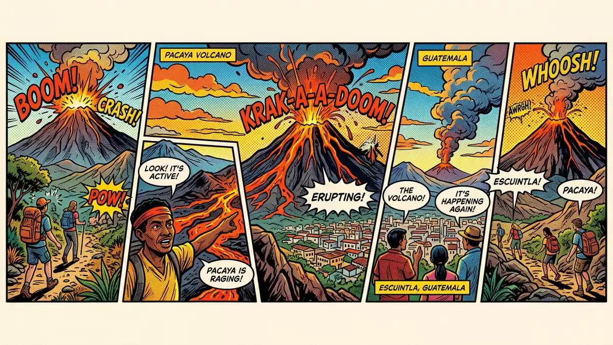
Volcan Pacaya is an active volcano in southern Guatemala, rising above Escuintla with a landscape of lava fields, ash slopes and distinct volcanic cones that is unusual in its accessibility. Formed thousands of years ago on the rim of an older caldera near Lake Amatitlán, it offers a close look at ongoing volcanic activity within a protected national park setting.
A complex volcano in the highlands of Guatemala
Volcan Pacaya stands in the Central America Volcanic Arc, part of the chain of volcanoes that follows the Pacific coast through Guatemala. It is a complex volcanic structure, built up from overlapping cones, domes and lava flows that together form a broad massif rising above the surrounding highlands.Central America Volcanic Arc The volcano reaches an elevation of around 2,552 m (8,373 ft), placing it among the higher summits in the Escuintla region and giving wide views over the valleys and other peaks nearby.2,552 m elevation
The main active cone on Pacaya is known as the MacKenney cone, a relatively young basaltic stratovolcano that has grown through repeated eruptions and the accumulation of lava and tephra. Around it, older features such as Cerro Chino and Cerro Grande mark earlier phases of the volcano’s construction.MacKenney cone and older domes The entire structure sits within Pacaya National Park, where volcanic peaks rise above forested slopes and the caldera rim around Laguna de Calderas defines the broader volcanic basin.Pacaya National Park
Lava, ash and a long eruptive history
Pacaya’s landscape reflects thousands of years of volcanic activity. The modern volcano developed on the edge of a much older caldera roughly 23,000 years ago, adding successive layers of basaltic to intermediate lava, ash and volcanic debris to the existing terrain.formed about 23,000 years ago Since the sixteenth century, eruptions have been recorded many times, with Pacaya producing repeated episodes of strombolian activity that throw incandescent fragments from the summit and build short lava flows down its flanks.strombolian eruptions since 1565
In the twentieth century, Pacaya moved from a relatively quiet phase into near-continuous activity. A renewed eruptive sequence in the 1960s marked the growth of the present summit cone, and subsequent years brought frequent mild explosive eruptions and effusive lava events. Over the modern observation period, the Global Volcanism Program records multiple eruptions, including a series that extended into 2021.last known eruption 2021 CE Today Pacaya is regarded as an active volcano, with the summit elevation of the MacKenney cone varying over time as new material accumulates and older deposits are reshaped.summit elevation variations
Experiencing Pacaya’s trails and viewpoints
Volcan Pacaya lies south of Guatemala City, in Escuintla Department, with its main access route beginning near the town of San Vicente Pacaya.San Vicente Pacaya trailhead The approach from the capital follows the CA-9 highway towards the Pacific coast before turning inland towards the village and the visitor centre for Pacaya National Park.access via CA-9 Sur From there, established trails climb towards viewpoints over the lava fields and the active cone.
The terrain combines forested lower slopes with higher ground covered by loose ash, volcanic gravel and hardened lava. Paths cross undulating volcanic surfaces and sections of eroded ground, so walking involves steady gradients and footing on uneven material rather than on smooth pavements. Higher on the mountain, views open towards the MacKenney cone, nearby peaks and, in clear weather, other volcanoes in the Guatemalan highlands. The official language is Spanish and the currency is the Guatemalan quetzal. Entry requirements depend on your nationality; UK travellers can check the FCDO travel advice at gov.uk/foreign-travel-advice, Irish travellers the Department of Foreign Affairs at ireland.ie.
Visiting Volcan Pacaya: what travellers from Western Europe should know
- Volcan Pacaya rises in Escuintla in southern Guatemala, with the main access road branching from highway CA-9 Sur towards San Vicente Pacaya and the national park visitor centre.
- The standard hiking route begins near San Vicente Pacaya and ascends on volcanic ash and lava surfaces, with sustained gradients and sections of loose, uneven footing underfoot.
- Pacaya forms part of Pacaya National Park, where marked trails lead towards viewpoints over the active MacKenney cone and extensive lava fields on the upper slopes.
- The official language is Spanish and the currency is the Guatemalan quetzal; international visitors rely on local guides and park staff for on-the-ground information.
Searching for Volcan Pacaya on social platforms
These links open searches for Volcan Pacaya on each platform.
Frequently asked questions about Volcan Pacaya
Where is Volcan Pacaya located?
Volcan Pacaya lies in Escuintla Department in southern Guatemala, within Pacaya National Park, south of Guatemala City and near the town of San Vicente Pacaya.
What should visitors expect on a visit to Pacaya?
Visitors encounter volcanic terrain with ash slopes, hardened lava and views of the active MacKenney cone, reached by trails that climb steadily from the national park’s visitor area.
What makes Volcan Pacaya distinctive among Guatemala’s volcanoes?
Pacaya combines frequent activity at the MacKenney cone, a long recorded eruptive history since the sixteenth century and relatively straightforward access through Pacaya National Park’s trails and viewpoints.


