
Volcan Pacaya and Guatemala’s changing volcanic landscape
Published on 09/23/2026 at 05:02 | Editorial responsibility: Rafael Müller, Editor-in-Chief AD HOC NEWS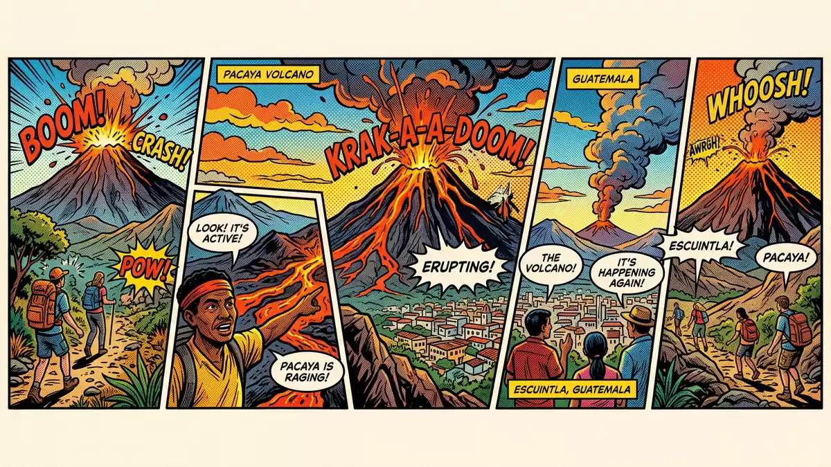
Volcan Pacaya rises above Escuintla as an active volcanic complex, with dark lava fields and a summit shaped by repeated eruptions. The volcano reaches 2,569 metres (8,428 ft) and forms part of Guatemala’s Central American volcanic landscape.
Volcan Pacaya: a volcano built from several volcanic forms
Pacaya is not a single simple cone. It is a complex volcano containing an older stratovolcano, domes, lava flows, layers of tephra and a younger basaltic stratovolcano. The complex has developed during the last 23,000 years, within the wider landscape of the Amatitlán caldera.
The summit elevation is recorded as 2,569 metres. The volcano lies in southern Guatemala, with its slopes extending across the area associated with Escuintla, Guatemala and Amatitlán. Its dark basaltic rocks contrast with green vegetation on the lower slopes.
From ancient eruptions to the modern active cone
Pacaya first formed within a volcanic region shaped by large eruptions and caldera formation. Geological records place the development of the present complex within the late Pleistocene, while the volcano’s eruptive history reaches back far beyond written records.
Pacaya has produced at least 23 eruptions since 1565. A vigorous eruptive phase began in 1961 after a long quiet interval, placing lava, ash and incandescent material among the defining features of its modern history. The volcano alternates between effusive activity, with lava moving from vents, and explosive episodes that release ash and volcanic fragments.
The volcano’s documented history includes a record of frequent activity extending across centuries. Pacaya’s eruption history includes activity recorded since the Spanish conquest and geological evidence for earlier eruptions.
Lava, ash and the landscape around Escuintla
The visible terrain around Volcan Pacaya is volcanic in both colour and texture. Basaltic lava forms rough dark surfaces, while ash and tephra cover parts of the ground. The active cone rises within a larger volcanic complex, creating a landscape of ridges, vents and changing deposits.
Pacaya is part of the Central American Volcanic Arc, the chain of volcanoes extending through Central America. Its position reflects the region’s active tectonic setting, where the Cocos Plate descends beneath the Caribbean Plate. This geological setting connects the volcano with the broader volcanic geography of Guatemala.
The area received national park status in 1963. It later became associated with a protected zone for ecological and geological sensitivity. The protected volcanic area includes the active complex, lava flows, vegetation and the surrounding landscape.
Visiting Volcan Pacaya: what travellers from Western Europe should know
- Volcan Pacaya lies south-west of Guatemala City, in the volcanic landscape connected with Escuintla, Guatemala and Amatitlán. Road journeys from Guatemala City and Antigua Guatemala reach the settlements and trail areas around the volcano.
- The approach crosses volcanic ground, including ash, loose fragments and rough lava surfaces. The route rises towards the active cone and requires walking on uneven terrain.
- Volcan Pacaya reaches 2,569 metres (8,428 ft), so the ascent includes altitude as well as changing ground. The upper landscape has sparse vegetation and exposed volcanic material.
- Conditions on the mountain change with the seasons; the local cable-car operators and alpine clubs provide information.
- The official language is Spanish and the currency is the Guatemalan quetzal.
- Entry requirements depend on your nationality; UK travellers can check the FCDO travel advice at gov.uk/foreign-travel-advice, Irish travellers the Department of Foreign Affairs at ireland.ie.
Searching for Volcan Pacaya on social platforms
These links open searches for Volcan Pacaya on each platform.
Frequently asked questions about Volcan Pacaya
Where is Volcan Pacaya?
Volcan Pacaya is in southern Guatemala, within the volcanic region associated with Escuintla, Guatemala and Amatitlán. It rises south-west of Guatemala City.
What can visitors expect on the mountain?
The route crosses ash, loose volcanic fragments and rough lava surfaces before reaching higher ground near the active cone. The landscape combines exposed volcanic rock with vegetation on the lower slopes.
What makes Volcan Pacaya distinctive?
Pacaya is a complex volcano rather than a single cone, with an older stratovolcano, domes, lava flows, tephra and a younger basaltic cone. Its documented eruptions and changing lava landscape define the mountain.


