
Volcan de Santa Ana and its turquoise crater lake
Published on 08/24/2026 at 15:47 | Editorial responsibility: Rafael Müller, Editor-in-Chief AD HOC NEWS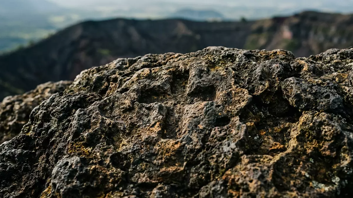
Volcan de Santa Ana, also known as Ilamatepec, is a high stratovolcano that dominates the landscape west of Santa Ana in western El Salvador. Rising to about 2,381 m (7,812 ft) above sea level, it is widely recognised as the country’s highest volcano and one of its most striking natural landmarks.Santa Ana Volcano The mountain’s broad summit is crowned by nested craters and a vivid turquoise crater lake, giving the volcano a distinctive profile that has become closely associated with the region.
A high stratovolcano above coffee country
Volcan de Santa Ana stands in the department of Santa Ana within El Salvador’s volcanic arc, immediately west of the large Coatepeque Caldera.Santa Ana, El Salvador's highest volcano Geologically, it is an andesitic-to-basaltic stratovolcano, formed by successive eruptions that have built a broad cone with steep upper slopes.a dominantly andesitic stratovolcano The volcano rises above a region of cloud forest and coffee plantations, and together with Izalco and Cerro Verde it forms part of the Los Volcanes complex in the Apaneca range.part of the Los Volcanes complex
The indigenous name Ilamatepec comes from the Nahuat language, traditionally translated as “the hill of the old woman”, reflecting the long human presence around the volcano.Ilamatepec, the indigenous name Santa Ana city lies on the northeastern flank, while Lake Coatepeque occupies a caldera at its eastern foot, creating a varied volcanic landscape with water, forest and cultivated slopes.Lake Coatepeque at the eastern foot From the upper slopes the views reach across the Apaneca mountains and neighbouring cones, emphasising how firmly the volcano anchors the region’s geography.
Nested craters and a turquoise acid lake
The summit of Volcan de Santa Ana is not a single simple crater but a complex system of nested depressions carved into the volcanic cone. The outer crater forms an almost circular basin roughly 1.5 km across, while an inner crater lies inside it with a diameter of around 0.5 km.a flat crater 1.5 km in diameter Within this inner hollow sits a small acid crater lake flanked by fumaroles, a combination that defines the volcano’s present-day summit scenery.small acid crater lake and fumaroles
The lake is highly acidic, with measured pH values that can be as low as 0.5, placing it among the most chemically extreme crater lakes in Central America.pH values as low as 0.5 Survey work around the turn of the century mapped a bowl-shaped basin with a maximum depth of about 27 m and a volume in the hundreds of thousands of cubic metres.bathymetric survey of the lake The water takes on an emerald to turquoise colour due to dissolved sulphur and other minerals, a feature that has made summit views and photographs distinctive among Central American volcanoes.emerald green colour to the lake waters
Activity, eruptions and the climbing trail
Volcan de Santa Ana is an active volcano with a recorded history that stretches back several centuries. Historical accounts and modern records note significant eruptions in 1904, 1920 and 2005, marking major episodes in the volcano’s recent behaviour.eruptions in 1904, 1920 and 2005 The 2005 eruption was a phreatomagmatic event in which interaction between magma and the crater lake produced explosive activity; the lake water was expelled and hot mudflows descended the flanks, causing fatalities and displacing several thousand residents.phreatomagmatic explosion ejected the summit crater lake
Since that eruption the summit has remained under monitoring, with attention focused on fumaroles and the crater lake’s chemistry and temperature. Measurements have recorded lake temperatures in the range of several tens of degrees Celsius and bubbling hot springs along the shoreline, underlining that this high peak is geothermally active even in quieter periods.bubbling hot springs around 80°C For visitors, the volcano is reached on a marked trail from the Cerro Verde area, climbing through forest and open volcanic terrain towards the crater rim.a trail leading to a steaming crater lake The upper sections involve sustained uphill walking on uneven ground, and the final approach crosses exposed lava and ash surfaces near the summit.
Visiting Volcan de Santa Ana: what travellers from Western Europe should know
- Volcan de Santa Ana rises in western El Salvador’s Santa Ana department, west of Lake Coatepeque and north-west of the capital San Salvador; approaches generally start from the Cerro Verde area in the Los Volcanes complex.
- The ascent route involves a sustained hike on volcanic terrain with sections of steep gradient and uneven footing, especially near the summit craters.
- The summit area is at high altitude for Central America, so the air can feel thinner on the upper slopes compared with the surrounding lowlands.
- The official language is Spanish and the currency is the United States dollar.
- Entry requirements depend on your nationality; UK travellers can check the FCDO travel advice at gov.uk/foreign-travel-advice, Irish travellers the Department of Foreign Affairs at ireland.ie.
Searching for Volcan de Santa Ana on social platforms
These links open searches for Volcan de Santa Ana on each platform.
Frequently asked questions about Volcan de Santa Ana
Where is Volcan de Santa Ana located?
Volcan de Santa Ana stands in the department of Santa Ana in western El Salvador, immediately west of Coatepeque Caldera and north-west of San Salvador.
What should visitors expect on a visit to Volcan de Santa Ana?
Visitors encounter a demanding hike through forest and open volcanic terrain, followed by views into nested craters and a vivid turquoise acid lake at the summit.
What makes Volcan de Santa Ana distinctive among Central American volcanoes?
Its combination of considerable height, complex summit craters and an intensely acidic turquoise crater lake gives Volcan de Santa Ana a distinctive character within the Central American volcanic chain.


