
Volcan Baru above Boquete and Panama’s highest crest
Published on 09/03/2026 at 22:56 | Editorial responsibility: Rafael Müller, Editor-in-Chief AD HOC NEWS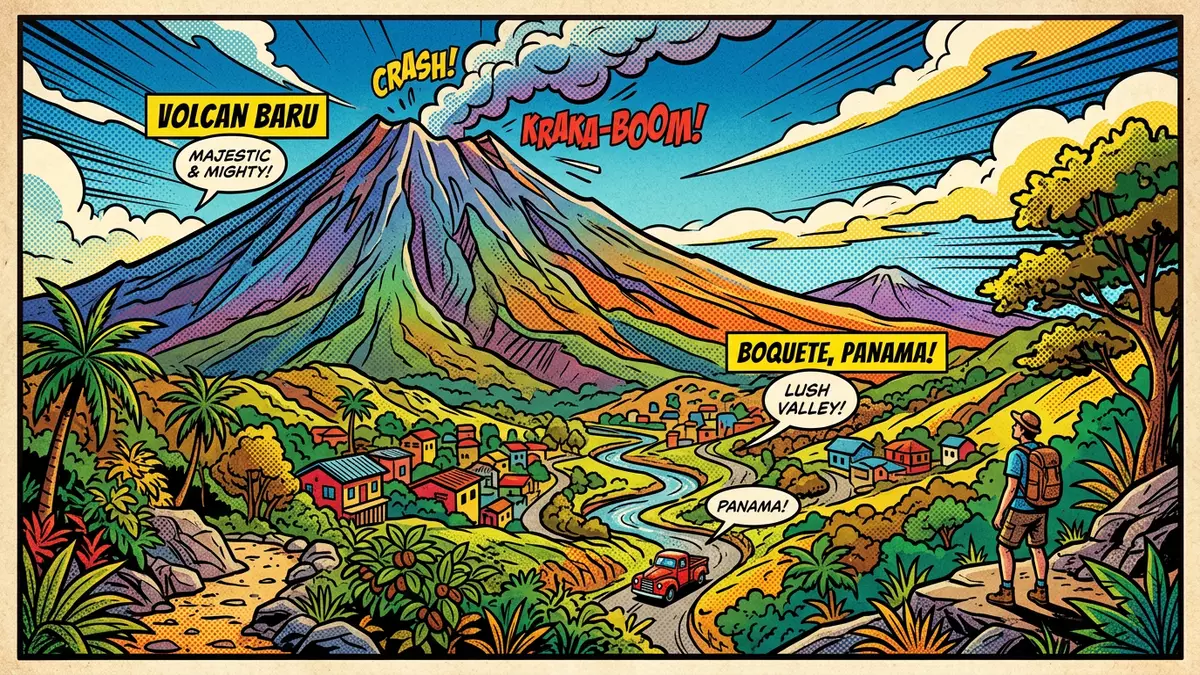
Volcan Baru rises above Boquete in western Panama, and its summit is the country’s highest point. The mountain’s profile is a volcanic massif, with steep flanks, a broad crest and the highland setting of Chiriquí Province. [it has a dormant stratovolcano]
Volcan Baru and the highland edge of Boquete
Volcan Baru stands within Volcan Baru National Park, a protected area in Chiriquí Province that covers more than 141 km2. The park sits near Boquete and forms part of the mountain landscape that frames the town. Volcan Baru National Park
The volcano reaches 3,474 m above sea level in the park material and 3,475 m in other established references. It is the highest mountain in Panama and a stratovolcano, with volcanic terrain, cloud forest and high-altitude grassland across its upper slopes. highest mountain in Panama
Craters, ridges and volcanic ground
The summit area is not a single neat cone. It forms a broad crest with several craters and ridges, and the slopes below carry volcanic soils, forest patches and open ground. seven craters
Volcan Baru belongs to the Central American Volcanic Arc and is a dormant stratovolcano. Its physical presence dominates western Panama, where the mountain rises above the Chiriquí Highlands and the settlements around its lower slopes. dormant stratovolcano
A park of forests, grassland and lava
The national park contains tropical rainforest, cloud forest, dwarf forest, savannah, high-altitude grassland and volcanic ground. Those habitats sit beside each other across a strong elevation range, from lower access roads to the summit crest. volcanic terrain
The mountain is also linked with the Los Llanos trail, the Boquete trail and the Sendero Los Quetzales path across the volcano’s flank. Together they place Volcan Baru within a wider walking landscape that includes Boquete and the highlands beyond it. Sendero Los Quetzales
Visiting Volcan Baru: what travellers from Western Europe should know
- Volcan Baru rises just outside Boquete in Chiriquí Province. The mountain is reached by routes that begin from the town and from the surrounding highlands.
- The terrain includes steep volcanic slopes, rough ground and long climbs. The summit area stands above 3,400 m, so altitude is part of the landscape.
- The park lies in western Panama near the border with Costa Rica. Spanish is the official language, and the currency is the Panamanian balboa, which circulates alongside the United States dollar.
- Conditions on the mountain change with the seasons; the local cable-car operators and alpine clubs provide information.
Searching for Volcan Baru on social platforms
These links open searches for Volcan Baru on each platform.
Frequently asked questions about Volcan Baru
Where is Volcan Baru?
Volcan Baru rises in Chiriquí Province in western Panama, close to Boquete and within Volcan Baru National Park. It is the highest point in the country.
What does a visit involve?
The mountain presents a highland landscape of steep slopes, volcanic ground and vegetation zones that shift with altitude. Boquete sits on the eastern side of the volcano.
What makes Volcan Baru distinctive?
It is Panama’s highest mountain and a stratovolcano with several craters on its summit crest. The park around it combines forest, grassland and lava-derived terrain.


