
Vinh Ha Long and the limestone seascape of Ha Long Bay
Published on 09/01/2026 at 08:21 | Editorial responsibility: Rafael Müller, Editor-in-Chief AD HOC NEWS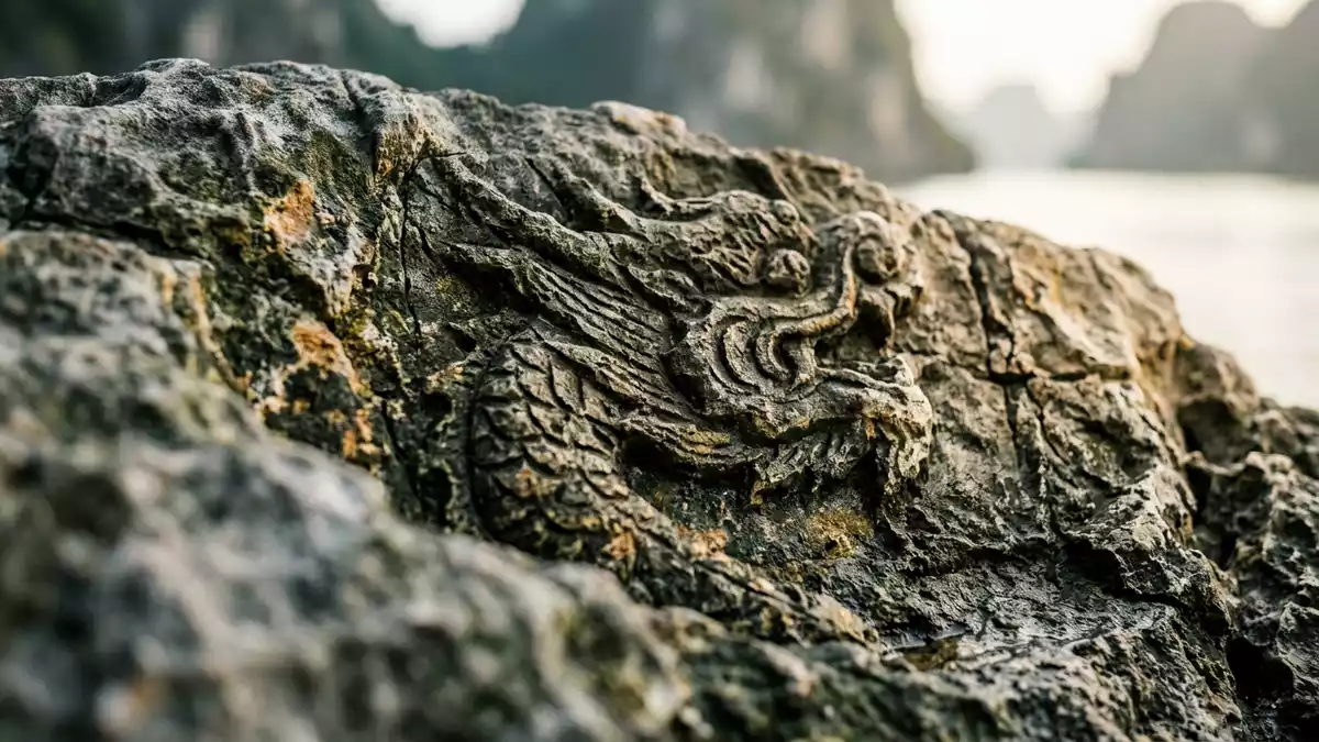
Vinh Ha Long, the Vietnamese name for Ha Long Bay, is a broad bay in northern Vietnam where limestone islands rise steeply from the Gulf of Tonkin. Set off the coast of Quang Ninh province near the city of Ha Long, it forms a distinctive seascape of rocky pillars, forested slopes and sheltered waterways that has been recognised as a World Natural Heritage site since the late twentieth century.
Limestone towers in the Gulf of Tonkin
Vinh Ha Long lies on the north-western shore of the Gulf of Tonkin, close to Ha Long city in Quang Ninh province in north-eastern Vietnam. The bay occupies part of a wider coastal zone that extends towards the border with China and includes offshore islands as well as low-lying mainland shores.Ha Long Bay on the northwest coast of the Gulf of Tonkin The Vietnamese name “V?nh H? Long” is commonly translated as “descending dragon bay”, a reference to legends that link the bay’s jagged islands to a protective dragon lowering itself into the sea.Vietnamese name V?nh H? Long
The bay is part of a karst landscape in which thick beds of limestone have been weathered into towers, walls and conical hills surrounded by water. Across the wider Ha Long region there are thousands of islands and islets, many of them limestone and rising tens of metres above the sea surface.wide shallow bay studded with islets Within the core heritage area defined by UNESCO, hundreds of these islands form a dense cluster, creating narrow channels, cliff-lined coves and viewpoints where sheer rock and calm water meet.
A World Heritage seascape of islands and caves
Ha Long Bay has long been recognised for its natural scenery, and in December 1994 it was inscribed on the UNESCO World Heritage List for its outstanding aesthetic value under natural criterion vii.World Heritage inscription in 1994 In November 2000 this inscription was extended to cover its geology and geomorphology under criterion viii, highlighting the bay’s limestone karst system and long geological history.inscribed again in 2000 for geology The designated World Heritage area covers hundreds of square kilometres and includes a defined zone with several hundred islands, set within a larger landscape of coastal waters and uplands.
The limestone in Vinh Ha Long has been shaped over long periods by changes in sea level, climate and erosion, producing cliffs, overhangs and valleys that visitors can see from the deck of a boat or from viewpoints on the islands.limestone karsts formed over hundreds of millions of years Caves and grottoes punctuate some of the larger islands, and in places stalactites and stalagmites mark chambers carved by water. Above water, many of the islands carry patches of forest or scrub, softening the rock with vegetation and emphasising the contrasts between bare cliff and green canopy.
Channels, fishing communities and neighbouring archipelagos
Vinh Ha Long is not an isolated bay but part of a coastal archipelago that extends towards Cat Ba Island and the wider Ha Long Bay–Cat Ba area in Quang Ninh province and Hai Phong city.Ha Long Bay - Cat Ba Archipelago in Northeast Viet Nam In this broader setting, islands of different sizes form groups separated by channels that carry working boats and tourist vessels. The waters between the islands provide anchorages and routes that link the mainland to the outer reaches of the Gulf of Tonkin.
Small fishing communities have long used parts of Ha Long Bay, and floating structures and near-shore villages form one of its human layers alongside the natural scenery.journey of a World Heritage site The limestone islands themselves vary in form, from slender pillars to broader masses with valleys and enclosed hollows. In the central parts of Vinh Ha Long, boats thread between these islands, passing under cliffs and along stretches of water where rock walls rise directly from the bay.
Visiting Vinh Ha Long: what travellers from Western Europe should know
- Vinh Ha Long lies off the coast of Quang Ninh province near Ha Long city in northern Vietnam, on the north-western side of the Gulf of Tonkin.
- The bay is reached from the mainland via harbours around Ha Long, with boat routes leading into channels among the limestone islands and islets.
- The terrain within the bay includes steep limestone slopes and islands with caves, so visiting specific spots often involves steps, uneven paths and boarding or leaving boats.
- The official language is Vietnamese and the currency is the Vietnamese ??ng.
- Entry requirements depend on your nationality; UK travellers can check the FCDO travel advice at gov.uk/foreign-travel-advice, Irish travellers the Department of Foreign Affairs at ireland.ie.
Searching for Vinh Ha Long on social platforms
These links open searches for Vinh Ha Long on each platform.Frequently asked questions about Vinh Ha Long
Where is Vinh Ha Long located?
Vinh Ha Long is a bay on the Gulf of Tonkin in northern Vietnam, off Quang Ninh province near Ha Long city.
What should travellers expect on a visit to Vinh Ha Long?
Travellers encounter a seascape of limestone islands, cliffs and channels, reached by boat from mainland harbours and including caves, coves and steep island slopes.
What makes Vinh Ha Long distinctive among coastal landscapes?
The bay’s combination of limestone karst towers, forested islands and sheltered waterways, recognised by UNESCO as a World Natural Heritage site, gives it a distinctive character.


