
Vinh Ha Long and the limestone islands of Ha Long Bay
Published on 09/19/2026 at 09:34 | Editorial responsibility: Rafael Müller, Editor-in-Chief AD HOC NEWS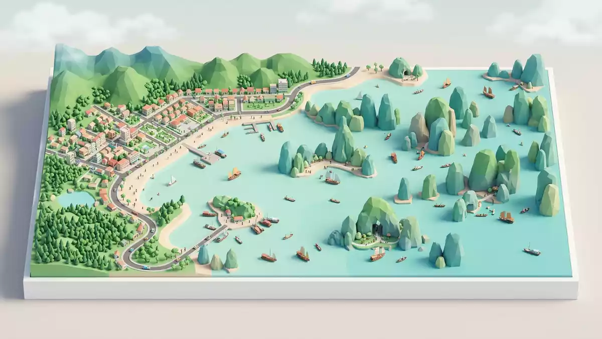
Vinh Ha Long, the Vietnamese name for Ha Long Bay in northern Vietnam, is a broad bay in the Gulf of Tonkin where limestone islands rise steeply from the water. Its Vietnamese name, Vinh Ha Long, is translated as “Bay of the Descending Dragon”, a title that links this coastal landscape to a long-standing legend about dragons shaping the sea.
Limestone pillars and a drowned landscape
Vinh Ha Long lies off the coast of Quang Ninh province in north-eastern Vietnam, near the city of Ha Long, on the north-western edge of the Gulf of Tonkin.bay on the northwest coast of the Gulf of Tonkin It forms a flooded limestone terrain in which islands and rocky outcrops stand directly in the sea, separated by channels and sheltered inlets rather than by broad lowland plains.spectacular limestone pillars rising from the sea
The bay is part of a wider limestone system that includes the Cat Ba Archipelago and neighbouring Bai Tu Long Bay, together forming a coastal landscape of cliffs, coves and offshore islands.Ha Long Bay - Cat Ba Archipelago In the UNESCO World Heritage core zone of Ha Long Bay, more than a thousand islands and islets are scattered across the water, most of them steep-sided and covered in vegetation, with their bases notched and eroded by waves into caves and overhangs.some 1600 islands and islets forming a spectacular seascape
World Heritage status and geological story
Ha Long Bay was recognised as a World Natural Heritage site in the 1990s, with UNESCO first inscribing the property for its scenic value in 1994 and later extending the listing in 2000 to cover its geology and geomorphology.inscribed on the World Heritage List in 1994 and extended in 2000 The inscribed heritage area covers a core zone of several hundred square kilometres within the larger bay, focusing on clusters of islands and the surrounding waters where the limestone landforms and caves are concentrated.World Heritage core zone covers approximately 434 square kilometers
The limestone pillars and islands are part of a karst landscape shaped over hundreds of millions of years, with layers of marine sedimentary rock uplifted and then eroded by water along fractures and bedding planes.90% of islands being limestone Sea-level changes drowned parts of the karst, leaving only the higher sections as islands and isolating caves and enclosed basins within the rock. The result at Vinh Ha Long is a landscape where cliffs drop straight into green water and caves open at the foot of slopes, with little flat land between sea and rock.
Life on and around the islands
Most of the islands in Ha Long Bay are steep and have little area suitable for settlement, which has kept much of the bay’s landscape covered in vegetation rather than dense construction.most of the islands are uninhabited Forested slopes and rocky shores dominate the view, with pockets of human activity concentrated in a few accessible zones and floating communities.
Within the broader Ha Long Bay–Cat Ba region, several ecosystem types are present, from karst forests on higher ground to marine environments in channels and lagoons.seven key ecosystem types are found here Wildlife includes endemic and threatened species, particularly on the neighbouring Cat Ba Island, where animals such as the Cat Ba langur and specialised reptiles have been recorded, adding a biological dimension to a landscape more widely known for its rock formations.
Visiting Vinh Ha Long: what travellers from Western Europe should know
- Vinh Ha Long lies on the north-eastern coast of Vietnam off Quang Ninh province, near the city of Ha Long, and is reached by road and water from inland centres such as Hanoi.
- The bay is a partially enclosed marine area with rocky islands and limited flat shoreline, so access within Vinh Ha Long typically involves boats navigating channels between cliffs and islands.
- Within parts of the bay and neighbouring island groups, approaches from sea level lead to caves and viewpoints in the limestone, often involving steps and short climbs on uneven rock or constructed stairways.
- The official language is Vietnamese and the currency is the Vietnamese ??ng.
- Entry requirements depend on your nationality; UK travellers can check the FCDO travel advice at gov.uk/foreign-travel-advice, Irish travellers the Department of Foreign Affairs at ireland.ie.
Searching for Vinh Ha Long on social platforms
These links open searches for Vinh Ha Long on each platform.
Frequently asked questions about Vinh Ha Long
Where is Vinh Ha Long?
Vinh Ha Long is a bay off the coast of Quang Ninh province in north-eastern Vietnam, near the city of Ha Long in the northern Gulf of Tonkin.
What should travellers expect on a visit to Vinh Ha Long?
Travellers encounter a coastal bay dotted with limestone islands and rocky pillars, with movement between areas commonly made by boat through channels, inlets and sheltered waters.
What makes Vinh Ha Long distinctive?
The combination of steep limestone islands rising directly from the sea, caves at the foot of cliffs and its recognition as a World Natural Heritage site gives Vinh Ha Long a distinctive character.


