
Vinh Ha Long and its limestone towers in the Gulf of Tonkin
Published on 09/05/2026 at 06:29 | Editorial responsibility: Rafael Müller, Editor-in-Chief AD HOC NEWS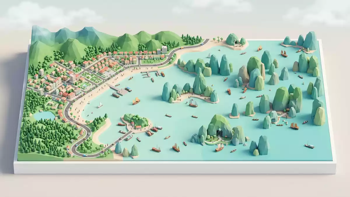
Vinh Ha Long, the Vietnamese name for Ha Long Bay near the city of Ha Long in northeastern Vietnam, is a flooded world of limestone islands rising steeply from calm water. It lies in the Gulf of Tonkin in Quang Ninh Province and has been recognised as a World Natural Heritage site by UNESCO for its scenery and geology, giving this seascape a formally recorded status that matches its visual impact.World Natural Heritage site
Ha Long Bay as a drowned karst seascape
At heart, Vinh Ha Long is a karst landscape that has been flooded by the sea, turning a field of limestone peaks into islands and pillars rising directly out of the water. The bay extends over roughly 1,500 km2 (580 sq mi) along Vietnam’s northeastern coast and holds more than 1,600 to around 2,000 islands and islets, a density that makes their forms feel continuous from almost any vantage point.covers about 1,500 square kilometrescontains nearly 2,000 limestone islands The smaller towers commonly rise between 50 m and 100 m (164–328 ft) above the water, their pale grey limestone surfaces broken by ledges and vertical joints.towers of 50m to 100m high
The rock is largely Carboniferous and Permian limestone, a thick sequence that has been sculpted under a warm, humid tropical climate into fengcong clusters of conical peaks and fenglin isolated towers.Carboniferous and Permian limestonesfengcong and fenglin karst features Over geological time, repeated rises and falls of sea level have turned enclosed depressions into island lakes, and valleys into channels navigable by boat. The overall impression for a visitor on the water is of limestone forms repeating at many scales, from cliff faces to entire ranges, yet each island has its own outline shaped by joints and erosion.
The meaning of Vinh Ha Long and its heritage status
In Vietnamese, “V?nh H? Long” is commonly translated as “Bay of the Descending Dragon”, a name that ties the landscape to legend as much as to geography.meaning "Bay of the Descending Dragon" The bay itself is administered by Quang Ninh Province, with Ha Long city serving as the main urban gateway and harbour for travellers approaching the islands.administered by the city of Qu?ng Ninh Seen from higher viewpoints on the mainland, the flooded karst field stretches across the western part of the Gulf of Tonkin, its islands forming bands and clusters that follow the underlying structural grain of the limestone.
Ha Long Bay was first inscribed on the UNESCO World Heritage List in 1994 for its outstanding scenic qualities and was later recognised again in 2000 for its geological and geomorphological values.Inscribed on the World Heritage List under Natural Criterion vii; 2000: Inscription extended under Natural Criterion viii. More recently, the recognised heritage area has been expanded to include the Cat Ba Archipelago in neighbouring Hai Phong City as a single World Natural Heritage site, reflecting the continuity of karst landforms across provincial boundaries.Ha Long Bay-Cat Ba Archipelago recognised as UNESCO's World Natural Heritage For travellers, this formal recognition sits behind the scenes, but it explains why conservation rules and zoning are present around many of the islands.
Islands, caves and enclosed lakes
Within Vinh Ha Long, the individual islands and caves add detail to the broad picture of towers and channels. Several large islands contain series of caves at different levels within the limestone, remnants of phases when the karst formed on land before the sea invaded. Many smaller islands carry notches and low-level voids at their base, carved by waves and tides into what geomorphologists describe as “foot caves”.foot-caves that are actively formed by the current sea actions Inside some islands, enclosed lakes occupy drowned dolines, creating pockets of still water completely surrounded by cliffs and vegetation.enclosed lakes
The vegetation on many islands forms a dense cover, clinging to slopes and ledges where soil has accumulated, so that the pale rock is interleaved with greens when seen from a boat or the mainland. Individual islands have been given names that reference their forms or associated stories, and within the wider bay some have become known for particular caves, viewpoints or beaches. Yet large parts of the island field remain without permanent settlement, leaving their topography and thin soils more directly shaped by climate, sea and time than by infrastructure.
Visiting Vinh Ha Long: what travellers from Western Europe should know
- Vinh Ha Long lies in the Gulf of Tonkin off the coast of Quang Ninh Province in northeastern Vietnam, with Ha Long city serving as a main access point by road and water.
From Hanoi, travellers commonly reach the bay by road before transferring to boats that navigate among the islands. - Moving around the bay typically involves boats or small vessels, with gangways, steps and sometimes uneven surfaces where craft meet floating platforms or piers.
On board, decks and cabins vary, and access to upper levels is often via staircases rather than lifts. - The karst landscape means steep limestone slopes and cliffs rise directly from the sea, and paths on islands can be narrow and occasionally involve climbing stairways through cave entrances or up to viewpoints.
- Vinh Ha Long sits within a humid tropical climate zone, so air humidity and heat can be marked, and conditions on exposed decks differ from those inside cabins or caves.
- The official language is Vietnamese and the currency is the Vietnamese dong. Entry requirements depend on your nationality; UK travellers can check the FCDO travel advice at gov.uk/foreign-travel-advice, Irish travellers the Department of Foreign Affairs at ireland.ie.
Searching for Vinh Ha Long on social platforms
These links open searches for Vinh Ha Long on each platform.
Frequently asked questions about Vinh Ha Long
Where is Vinh Ha Long located?
Vinh Ha Long is a bay on the northeastern coast of Vietnam in Quang Ninh Province, opening into the Gulf of Tonkin, with Ha Long city nearby.located in Northeastern Vietnam
What should travellers expect when visiting?
Travellers encounter a maze of limestone islands and towers rising from the sea, reached by boats that weave between channels, caves and occasional beaches, with climatic conditions typical of a humid tropical coastal region.mountainous limestone islands
What makes Vinh Ha Long distinctive among coastal landscapes?
The combination of dense limestone tower karst, enclosed lakes within islands, caves at multiple levels and recognition as a UNESCO World Natural Heritage site gives Vinh Ha Long a character tied directly to long-term geological processes.spectacular seascape of limestone pillars


