Victoria & Alfred Waterfront, Cape Town’s harbour quarter
Published on 09/07/2026 at 14:27 | Editorial responsibility: Rafael Müller, Editor-in-Chief AD HOC NEWS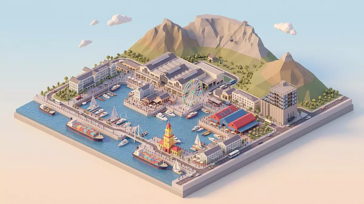
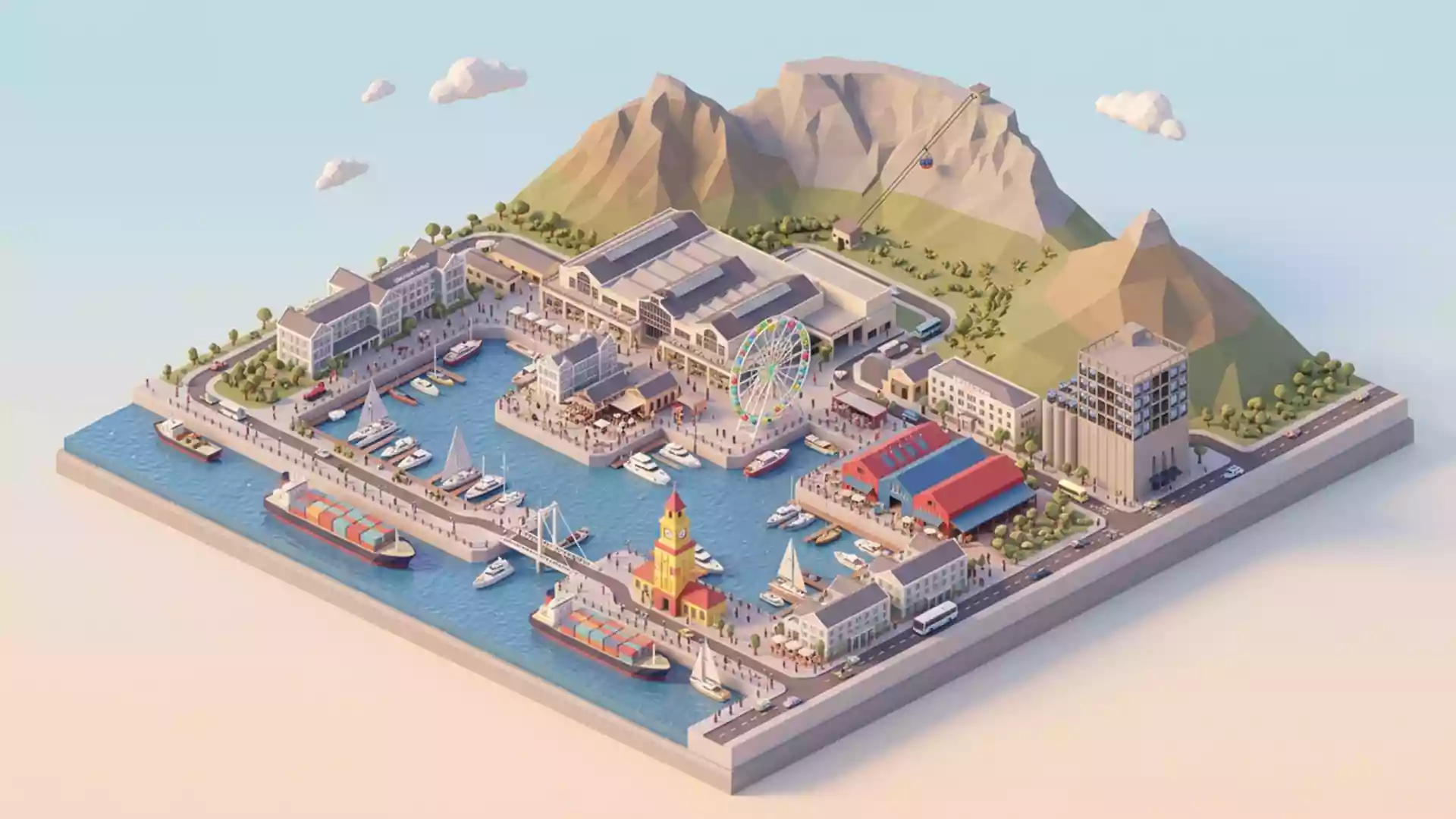
Victoria & Alfred Waterfront in Kapstadt is a harbour quarter built around the Alfred Basin and the Victoria Basin. Its profile is defined by water, quays, warehouses and the continuing presence of port activity.
Harbour basins at the edge of Table Bay
The name Victoria & Alfred Waterfront comes from Queen Victoria and Prince Alfred, whose names were given to the two basins that anchor the district. Prince Alfred tipped the first load of stone in 1860, and the harbour works followed in the decades that shaped modern Cape Town. The waterfront sits on the shore of Table Bay, with Table Mountain behind the city and the sea in front of the harbour walls.
The place is not a sealed leisure complex. It remains tied to dockside infrastructure, with working harbour elements beside public promenades, retail blocks and restored buildings. Cape Town’s first harbour gave the area its historic framework, and the later redevelopment kept the maritime setting visible.
Warehouses, quays and reuse
Granite quay walls, timber jetties and older dock buildings give the district its physical character. Some of the most recognisable structures belong to the port’s working past, while others have been adapted for shops, restaurants, galleries and offices.
That mixture makes Victoria & Alfred Waterfront a place of surfaces and layers rather than a single style. The historic fabric sits close to newer development, and the waterfront reads as an urban harbour district rather than a conventional shopping centre. heritage and culture remain part of the precinct’s identity, alongside commerce and leisure uses.
A district shaped by Cape Town’s harbour history
The waterfront’s story reaches back to the seventeenth century, when Jan van Riebeeck established the Dutch refreshment station at the Cape. That early maritime role, the British harbour works of the nineteenth century and the later redeployment of dockland all belong to the same shoreline. Jan van Riebeeck and the two basins both belong to the core identity of the place.
The district’s form is therefore historical as much as commercial. Its most striking feature is the visible continuation of harbour life inside a mixed urban quarter, where quays, basin edges and adapted industrial buildings remain central to the experience.
Visiting Victoria & Alfred Waterfront: what travellers from Western Europe should know
- Location and getting there. The waterfront lies in Kapstadt beside Table Bay, close to the central business district. It is reached by road from the city and by the harbour-side approaches around the basin area.
- What the terrain demands. The ground is largely level on the quays and promenades, but the setting is still a working harbour with hard surfaces and exposed edges.
- Nearby landmarks. Table Mountain dominates the inland horizon, while Robben Island lies across the water in Table Bay.
- Language and currency. The official language is English and the currency is the South African rand.
- Harbour character. The area combines port infrastructure with civic space, so cranes, quays and basin walls remain part of the landscape.
Searching for Victoria & Alfred Waterfront on social platforms
These links open searches for Victoria & Alfred Waterfront on each platform.
Frequently asked questions about Victoria & Alfred Waterfront
Where is Victoria & Alfred Waterfront?
Victoria & Alfred Waterfront is in Kapstadt on the edge of Table Bay. It sits beside the harbour and within reach of the city centre.
What does a visit involve?
The district combines quays, harbour views, retail streets and restored dockside buildings. The working port remains visible alongside the public areas.
What makes it distinctive?
Its two basins, named for Queen Victoria and Prince Alfred, give the place its identity. The blend of historic harbour fabric and active maritime use defines the waterfront.