
Uluru’s sandstone giant in Australia’s Red Centre
Published on 08/30/2026 at 14:04 | Editorial responsibility: Rafael Müller, Editor-in-Chief AD HOC NEWS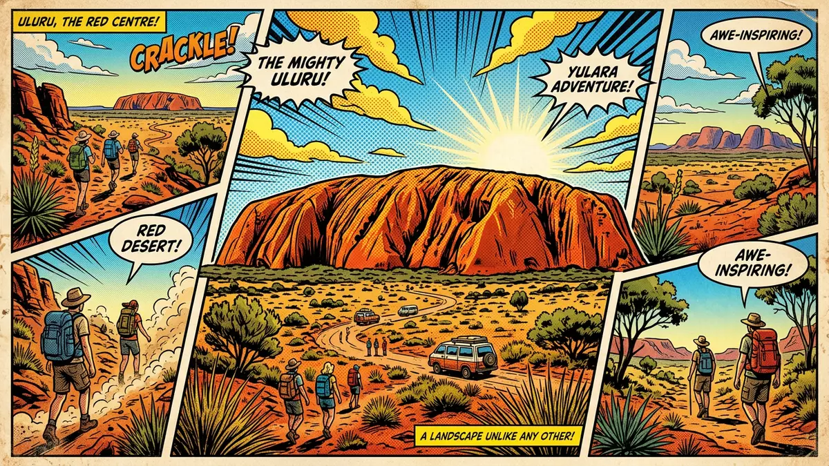
Uluru is a vast sandstone monolith in Australia’s Northern Territory, rising above the desert plain near the service village of Yulara and forming the heart of Uluru?Kata Tjuta National Park. It is part of a broader protected landscape that holds both World Heritage status and deep significance for the Anangu, the Aboriginal people whose ancestral country surrounds the rock. The combination of its scale, its geological age and its role in Indigenous culture gives Uluru a presence that is both physical and historical.
Sandstone bulk in the Red Centre
Uluru stands in the arid interior of Australia, in a region widely referred to as the Red Centre for its iron?rich soils and rocks. The rock itself is composed of arkosic sandstone, a coarse sandstone with a high proportion of feldspar that weathers into the distinctive reddish surface seen from a distance.arkosic sandstone Most of its bulk lies below the surrounding plain, with only part of the formation visible above ground, giving the impression of a single enormous block emerging from the desert.
The visible rock rises around 348 m (1,142 ft) above the plain and reaches an elevation of about 863 m (2,831 ft) above sea level, making it one of the dominant landforms in this part of the Northern Territory.348 m above the plain Walks around the base reveal long faces of weathered sandstone, gullies where water runs after rain and areas where erosion has carved ribs, overhangs and recesses into the rock. From different angles the monolith appears to change form, sometimes reading as a single broad wall and elsewhere as a series of overlapping shoulders.
Geology written in deep time
The sandstone that forms Uluru is the product of ancient deposition and later uplift, with the rock mass shaped by erosion over hundreds of millions of years.sandstone estimated to be around 600 million years old Its surface shows cross?bedding and other structures that point to its origin as sediment laid down under differing conditions. On close inspection, grains of quartz and feldspar are visible within the matrix, and weathering has produced the dark patina that contrasts with fresher exposures where the surface has spalled away.
The broader Uluru?Kata Tjuta National Park contains other large rock formations, notably the domes of Kata Tjuta to the west, but Uluru stands as a single, relatively uniform mass. The rock’s steep sides and gently sloping top bear marks of water flow and small channels cut into the surface, indicating how rare but intense rainfall events work on the sandstone.Uluru rises hundreds of metres above surrounding sandplains In the surrounding plain, low dunes and sparse vegetation emphasise the contrast between the flat country and the abrupt rise of the rock.
A living Anangu cultural landscape
Uluru is not only a geological feature; it is embedded in the Tjukurpa, the system of law, story and creation taught by the Anangu, whose language gives the rock its name.Tjukurpa guides the lives of the Anangu For the Yankunytjatjara and Pitjantjatjara peoples, Uluru and the surrounding country contain places linked to ancestral beings whose actions are recorded in the form of the land. Many sections of the rock face, waterholes and nearby features are associated with particular stories and ceremonies, and some areas are regarded as restricted or sacred.
The cultural importance of this landscape is recognised internationally: Uluru?Kata Tjuta National Park was added to the UNESCO World Heritage List for its natural values in 1987 and later inscribed also for its role as a living cultural landscape.dual World Heritage listing The park is jointly managed by Anangu traditional owners and government agencies, reflecting both long?standing connections to country and formal conservation frameworks. Visitors encounter signage and interpretation that refer to Tjukurpa narratives and to Anangu custodianship alongside geological and ecological information.
Visiting Uluru: what travellers from Western Europe should know
- Uluru lies in Australia’s Northern Territory, south?west of Alice Springs, with the resort village of Yulara acting as the main service centre nearby. Air services use Ayers Rock Airport, and road approaches follow the Lasseter Highway through desert country.
- Walking paths around parts of Uluru’s base traverse sand, rock and occasional sections of firm ground. The terrain is largely level but exposed, with little shade away from the rock and low desert vegetation.
- The surrounding region is arid, with high daytime temperatures in the hotter months and cooler nights. Rainfall events can transform dry channels around the rock into temporary watercourses and fill nearby waterholes.
- Uluru?Kata Tjuta National Park lies in Australia, where English is the official language and the currency is the Australian dollar.
- Entry requirements depend on your nationality; UK travellers can check the FCDO travel advice at gov.uk/foreign-travel-advice, Irish travellers the Department of Foreign Affairs at ireland.ie.
Searching for Uluru on social platforms
These links open searches for Uluru on each platform.
Frequently asked questions about Uluru
Where is Uluru in relation to Yulara and the wider region?
Uluru stands in Australia’s Northern Territory within Uluru?Kata Tjuta National Park, with Yulara located nearby as the main accommodation and service centre.
What can travellers expect when visiting the base of Uluru?
Travellers encounter desert terrain with formed paths, low vegetation and extensive views of sandstone faces, gullies and recesses carved into the monolith’s sides.
What makes Uluru distinctive among Australia’s landscapes?
Uluru is distinguished by its single massive sandstone form, its height above the surrounding plain and its recognised status as a World Heritage cultural landscape for the Anangu.


