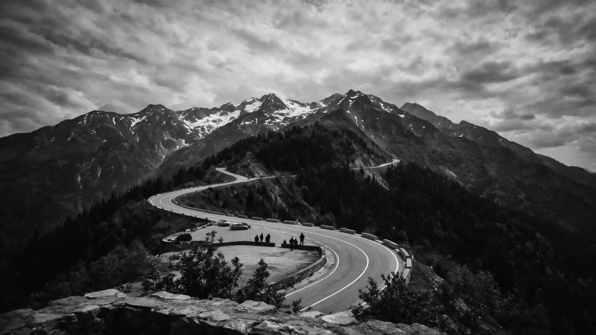
Transfagarasan, the mountain road above Curtea de Arges
Published on 08/27/2026 at 20:06 | Editorial responsibility: Rafael Müller, Editor-in-Chief AD HOC NEWS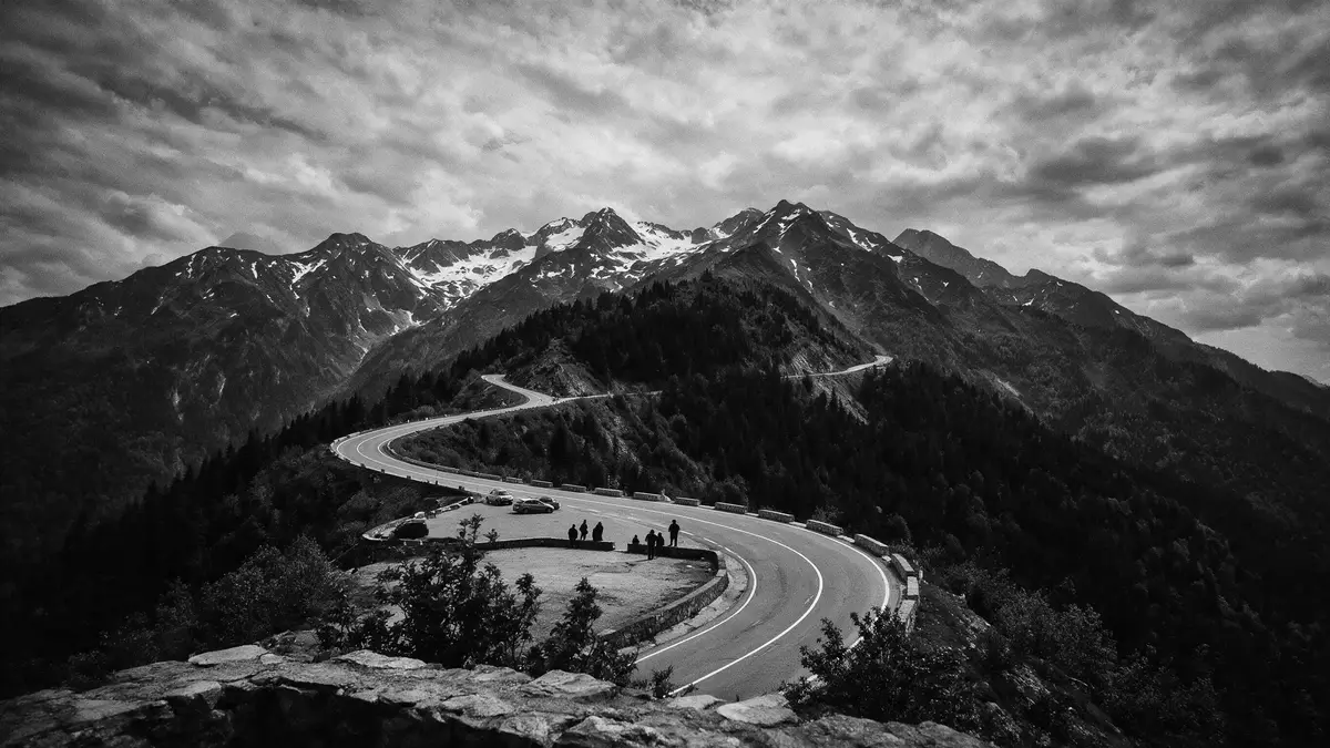
High above Curtea de Arges in central Romania, Transfagarasan threads through the Fagaras Mountains as a high-altitude road linking Muntenia in the south with Transylvania in the north. Built in the early 1970s as the national road DN7C, it climbs through dense forest, past Vidraru Dam and into a crown of hairpin bends around Balea Lake before descending towards the plains near Sibiu.
A national road turned mountain crossing
Transfagarasan is designated DN7C, a paved national road that crosses the southern section of the Carpathians between Arges County on the Muntenia side and Sibiu County in Transylvania.DN7C across the mountains The route begins near Bascov in Arges County, close to Pitesti, then passes north of Curtea de Arges before climbing into the Fagaras range in the direction of Cartisoara on the northern side.from Bascov towards Cartisoara
Over a length of around 151 km (94 mi), Transfagarasan links the southern lowlands with the high Carpathians and the Transylvanian plateau.road length of 151 km The most dramatic stretch runs from the forests above Curtea de Arges past Vidraru Dam and up to Balea Lake, where the road reaches altitudes over 2,000 m (6,562 ft) as it crosses the Fagaras ridge.
Forest reservoirs, dams and an alpine crest
From the Arges valley the road first follows the river through woodland, then arrives at Vidraru Dam, an arch dam completed in 1966 that impounds a long artificial lake in the upper valley.Vidraru Dam and lake The reservoir stretches for more than 10 km (6.2 mi), with rocky slopes and scattered viewpoints where the concrete curve of the dam and the water surface sit against the surrounding forest.
Beyond Vidraru, Transfagarasan climbs into steeper terrain, heading towards the glacial cirque of Balea Lake where the road reaches its highest point at about 2,042 m (6,699 ft).high point near Balea Lake Here a sequence of hairpin bends and short straights stack across the mountainside, and an alpine tunnel carries DN7C beneath the main crest before the road turns towards the villages near Cartisoara in Sibiu County.tunnel beneath the crest
Muntenia, Transylvania and central Romania
Geographically, Transfagarasan sits in central Romania, crossing the Fagaras Mountains, the highest range in the country and part of the broader Carpathian system.Fagaras Mountains in the Carpathians The road connects two historical regions: Muntenia to the south, anchored by Curtea de Arges and Pitesti, and Transylvania to the north, approached via Cartisoara and the routes towards Sibiu and Brasov.between Muntenia and Transylvania
Construction of Transfagarasan took place between 1970 and 1974, creating a continuous carriageway across high mountain terrain that had previously been more difficult to cross by road.built between 1970 and 1974 The resulting alignment gives Curtea de Arges a direct route into the high Fagaras range, while the northern end links to DN1 between Sibiu and Brasov, tying the mountain corridor into the wider Romanian network.
Visiting Transfagarasan: what travellers from Western Europe should know
- Transfagarasan runs in central Romania between Bascov in Arges County and the junction with DN1 near Cartisoara in Sibiu County, with Curtea de Arges on its southern approach.
- The ascent from Curtea de Arges follows the Arges valley through forest and continues past Vidraru Dam before reaching steeper mountain terrain and high-altitude bends near Balea Lake.
- The terrain includes long gradients, exposed sections at over 2,000 m (6,562 ft) and a high tunnel near Balea Lake, so journeys combine valley driving with sustained mountain conditions.
- Curtea de Arges is reached by road from Pitesti and Bucharest, and from there DN7C provides access to the dam, the reservoir shore and the mountain crest.
- The official language is Romanian and the currency is the Romanian leu; entry requirements depend on your nationality, UK travellers can check the FCDO travel advice at gov.uk/foreign-travel-advice, Irish travellers the Department of Foreign Affairs at ireland.ie.
Searching for Transfagarasan on social platforms
These links open searches for Transfagarasan on each platform.Frequently asked questions about Transfagarasan
Where is Transfagarasan in Romania?
Transfagarasan lies in central Romania, crossing the Fagaras Mountains between Arges County in Muntenia and Sibiu County in Transylvania, with Curtea de Arges on its southern side.
What should travellers expect on a visit?
A visit combines valley driving through forest, views of Vidraru Dam and reservoir, and sustained mountain conditions with hairpin bends, high-altitude sections and a tunnel near Balea Lake.
What makes Transfagarasan distinctive among Romanian roads?
Transfagarasan is distinctive as DN7C, a twentieth-century national road built between 1970 and 1974 to cross the highest Romanian range, linking Muntenia and Transylvania through a continuous mountain alignment.