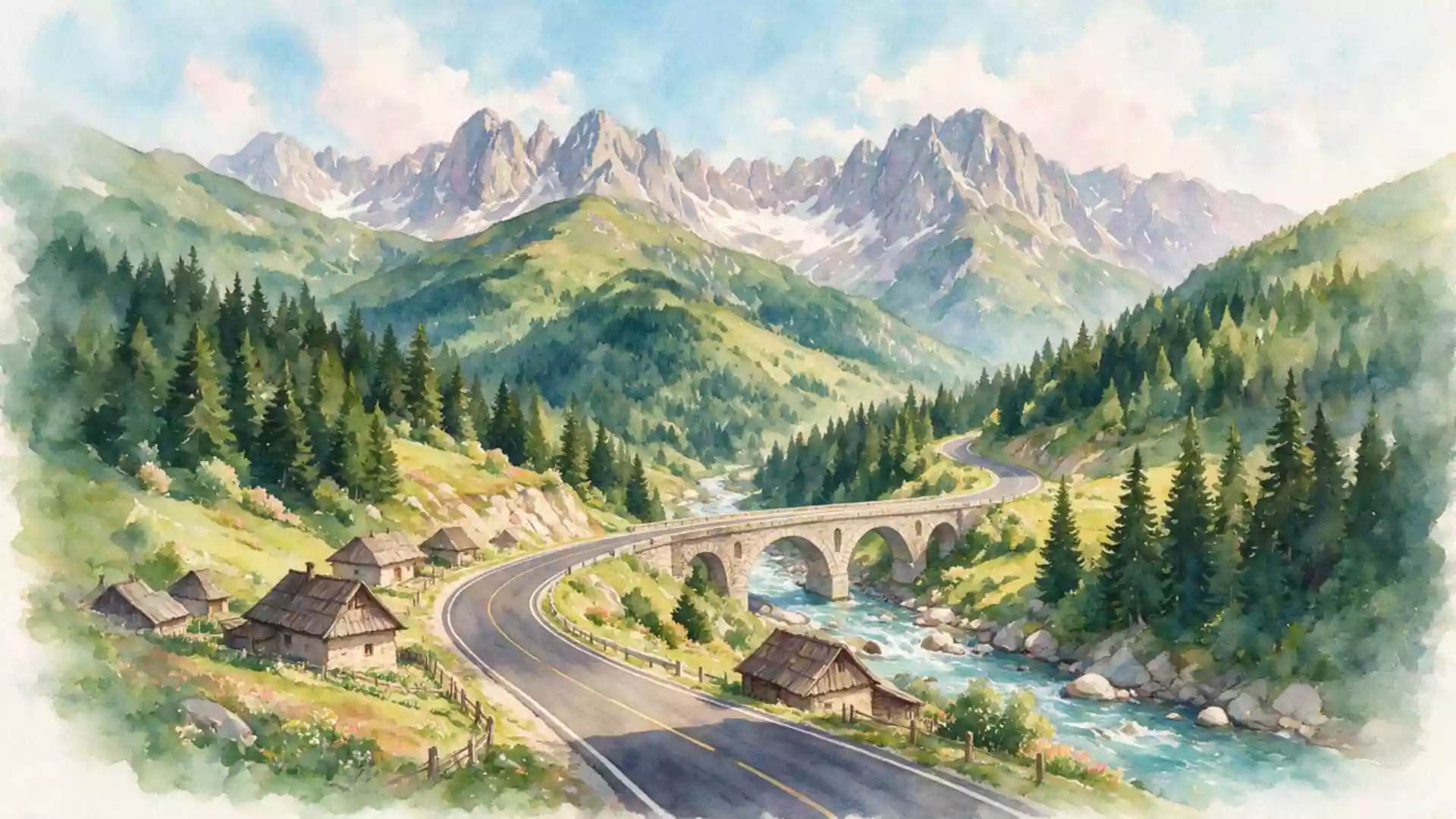
Transfagarasan, the high mountain road above Curtea de Arges
Published on 09/07/2026 at 22:22 | Editorial responsibility: Rafael Müller, Editor-in-Chief AD HOC NEWS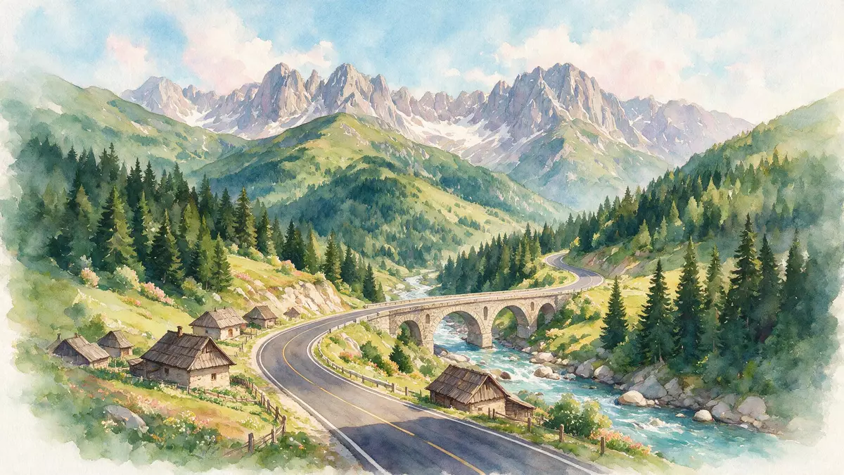
Transfagarasan is a high mountain road in central Romania, designated DN7C, that climbs from the area around Curtea de Arges into the Fagaras Mountains before descending towards Cartisoara on the Transylvanian side.
A road carved across the Fagaras Mountains
Transfagarasan runs through the southern Carpathians, linking Arges County in Muntenia with Sibiu County in Transylvania as it crosses the Fagaras range.road through the Fagaras Mountains The route begins near Bascov in Arges County, close to Pitesti, then passes north of Curtea de Arges before climbing into the high ridges in the direction of Cartisoara.starts in Bascov near Pitesti
For much of its length, Transfagarasan winds along steep valley sides and across high plateaus, using bridges, tunnels and cuttings to maintain a paved carriageway through the mountain terrain. The road reaches alpine altitudes in the central section near the main pass, where tight hairpin bends stack above one another on the southern slope before the alignment levels out close to the crest and then descends in a series of curves towards the northern plain.
From strategic project to celebrated mountain drive
Transfagarasan was built in the early 1970s as a strategic mountain road, during the rule of Nicolae Ceau?escu, to provide a direct connection between Muntenia and Transylvania across the Fagaras range.constructed between 1970 and 1974 Construction began in 1970 and the road was officially inaugurated on 20 September 1974, with finishing works on the asphalt surface continuing into 1980.officially opened in 1974
The project drew heavily on the resources of the Romanian Army, and work advanced from both the southern and northern sides of the range using extensive blasting to drive a passable route through hard rock at altitude.heavy blasting in high-altitude terrain The result is a mountain highway that combines long straight sections along reservoirs and valleys with dramatic climbing sequences, including stacked switchbacks on the southern side and a tunnel close to the main crossing point beneath the crest of the Fagaras Mountains.DN7C mountain road in Romania
Curtea de Arges and the landscape along DN7C
Curtea de Arges is the principal town on the southern approach to Transfagarasan, sitting along the route as it leaves the lowlands north of Pitesti and begins to follow the valleys leading into the mountains.DN7C becomes Transfagarasan near Curtea de Arges The town serves as a base on the approach, with the road continuing from the vicinity of Curtea de Arges into increasingly enclosed valleys before reaching large hydroelectric structures such as the Vidraru Dam further into the Fagaras range.route from Curtea de Arges to Cartisoara
Beyond the reservoirs, Transfagarasan climbs through forests and bare alpine terrain, with road sections cut into slopes and supported by retaining structures where necessary. In clear weather, high points along the alignment offer wide views across ridges, glacial cirques and valleys on both sides of the main crest, making the road a prominent way of experiencing the upper Fagaras landscape from a vehicle.
Visiting Transfagarasan: what travellers from Western Europe should know
- Transfagarasan lies in central Romania, running between Bascov in Arges County and the junction with DN1 near Cartisoara in Sibiu County, with Curtea de Arges on its southern approach.
- The road is an asphalted mountain highway reaching alpine altitudes, with sustained gradients, tight curves and sections that run along valley sides and above reservoirs.
- Curtea de Arges is reached from Bucharest and Pitesti by main roads; from Curtea de Arges the DN7C alignment continues towards the Fagaras Mountains as the principal access route.
- The terrain along the upper sections includes steep drops beside the carriageway and weather-exposed stretches; visibility in cloud and mist can reduce the sense of orientation.
- The official language is Romanian and the currency is the leu; entry requirements depend on your nationality, UK travellers can check the FCDO travel advice at gov.uk/foreign-travel-advice, Irish travellers the Department of Foreign Affairs at ireland.ie.
Searching for Transfagarasan on social platforms
These links open searches for Transfagarasan on each platform.
Frequently asked questions about Transfagarasan
Where is Transfagarasan in relation to Curtea de Arges?
Transfagarasan runs through central Romania, beginning near Bascov in Arges County, passing north of Curtea de Arges and then climbing into the Fagaras Mountains towards Cartisoara.
What kind of road is Transfagarasan and what should travellers expect?
It is a paved national road designated DN7C that crosses the southern Carpathians, with long gradients, mountain curves and sections at alpine altitude above valleys and reservoirs.
What makes Transfagarasan distinctive among Romanian roads?
Its combination of strategic twentieth-century construction across the Fagaras range, high-altitude alignment and stacked hairpin bends makes it a prominent mountain crossing between Muntenia and Transylvania.