

Transfagarasan, the high mountain road above Curtea de Arges
Published on 08/20/2026 at 15:36 | Editorial responsibility: Rafael Müller, Editor-in-Chief AD HOC NEWS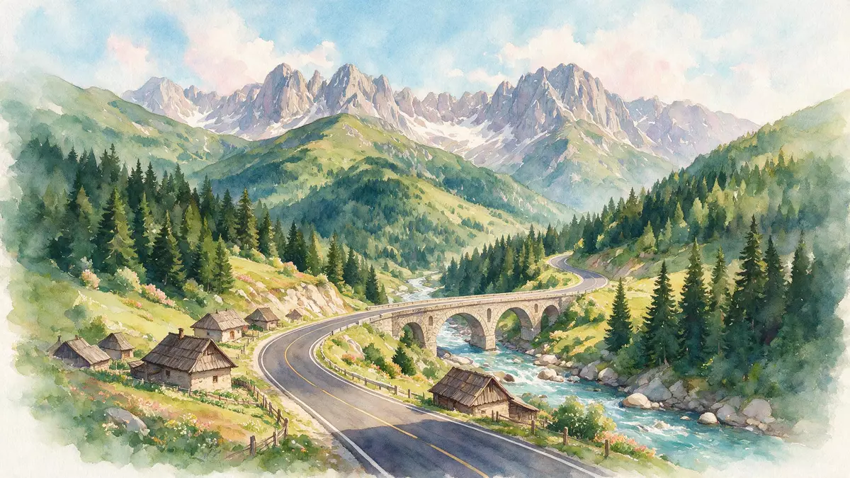
High above Curtea de Arges in central Romania, the Transfagarasan threads through the Fagaras Mountains as a dramatic high-altitude road linking Muntenia and Transylvania. Conceived under Nicolae Ceausescu in the early 1970s and officially opened in 1974, it climbs from foothill villages to a summit tunnel near Balea Lake, turning a strategic project into one of Romania’s most recognisable mountain routes.
A military project turned mountain crossing
The Transfagarasan is designated DN7C, a paved national road that crosses the southern section of the Carpathians between the Arges valley and the plains around Sibiu.Designated DN7C It begins near Bascov in Arges County, passes north of Curtea de Arges and then climbs into the Fagaras range towards Cartisoara on the Transylvanian side.From Bascov to Cartisoara
Construction of the road took place between 1970 and 1974 under the leadership of Nicolae Ceausescu, with military engineering units working from both the southern and northern approaches.Built between 1970 and 1974 The asphalted route was completed in its present form around 1980, once paving and finishing works on the carriageway were finished.Completed around 1980 Along its length the road crosses bridges, viaducts and cuttings carved directly into the mountain slopes, reflecting its origin as a heavily engineered crossing rather than a simple pass track.
From Curtea de Arges to the high Carpathians
For travellers arriving from the south, Curtea de Arges acts as the last town before the road begins to twist into the mountains. North of the town DN7C follows the Arges valley, passing villages and forested hillsides as it gains altitude towards the Vidraru Dam and reservoir.Above Curtea de Arges This southern approach gives a clear sense of transition from lowland Romania into the high Carpathians.
The entire Transfagarasan runs for roughly 150 km (about 90 mi), with the central section crossing the highest ridges of the Fagaras Mountains.Length of the road The most celebrated stretch lies between Curtea de Arges and Balea Lake, where the carriageway begins to switchback above the tree line and the landscape changes from dense forest to open alpine slopes.
Hairpins, tunnels and the Fagaras scenery
North of Vidraru Lake the Transfagarasan becomes a classic high mountain road, climbing through a series of tight hairpins and long traverses cut into the rock. Near Balea Lake it reaches an altitude of about 2,042 m (6,699 ft) at the entrance to a summit tunnel, ranking as the second-highest alpine road in Romania after the Transalpina.Altitude near Balea Lake This combination of height, engineering and scenery has made the route one of the most discussed roads in the country.Second-highest alpine road in Romania
On the northern side of the tunnel the road descends towards Cartisoara in sweeping curves, with views over glacial valleys and the broader Transylvanian plain. Around Balea Lake and the adjacent waterfall, short paths and viewpoints line the roadside, giving access to peaks and ridges in the central Fagaras massif. In clear weather the asphalt strip and its stacked bends are visible from high above, emphasising how boldly the road cuts across Romania’s highest range.
Visiting Transfagarasan: what travellers from Western Europe should know
- The Transfagarasan lies in central Romania, running between Bascov in Arges County and the junction with DN1 near Cartisoara in Sibiu County; Curtea de Arges sits on its southern approach.
- The road surface is paved and includes steep gradients, tight hairpins and exposed sections above the tree line, so driving demands steady concentration and confidence on mountain roads.
- At its highest point near Balea Lake the road reaches over 2,000 m (6,562 ft), which means cooler air temperatures and rapidly changing mountain weather compared with the lowlands.
- Public transport along the length of the road is limited; most visitors travel by private car, motorcycle or organised excursion from cities such as Bucharest or Sibiu.
- The official language is Romanian and the currency is the Romanian leu; entry requirements depend on your nationality, UK travellers can check the FCDO travel advice at gov.uk/foreign-travel-advice, Irish travellers the Department of Foreign Affairs at ireland.ie.
Searching for Transfagarasan on social platforms
These links open searches for Transfagarasan on each platform.
Frequently asked questions about Transfagarasan
Where is the Transfagarasan located in Romania?
The Transfagarasan lies in central Romania, crossing the Fagaras Mountains between Arges County in Muntenia and Sibiu County in Transylvania, with Curtea de Arges on its southern side.
What can travellers expect when driving the Transfagarasan?
Travellers encounter a fully paved mountain road with steep gradients, hairpin bends, dam walls and a high tunnel section near Balea Lake, surrounded by expansive Carpathian scenery.
What makes the Transfagarasan distinctive among Romanian mountain roads?
Its combination of 1970s strategic origins, considerable length, altitude above 2,000 m (6,562 ft) and bold alignment across the Fagaras range gives the Transfagarasan a distinctive character among Romanian roads.


