
Tottori Sakyu, Japan’s sea-facing dunes of shifting sand
Published on 09/16/2026 at 08:07 | Editorial responsibility: Rafael Müller, Editor-in-Chief AD HOC NEWS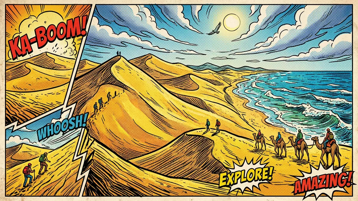
Tottori Sakyu, known in English as the Tottori Sand Dunes, is a wide expanse of coastal sand on the Sea of Japan just outside Tottori City in western Honshu. Stretching for many kilometres along the shoreline, this dune field has become Japan’s best-known coastal dune landscape and a defining natural feature of Tottori Prefecture.
A desert-like strip of sand beside the Sea of Japan
The most striking aspect of Tottori Sakyu is the way an apparently desert-like belt of sand meets the water of the Sea of Japan at the edge of a settled coastal city. The dunes occupy a strip of coastline north-east of central Tottori, where the Sendai River reaches the sea and sand has accumulated into broad slopes and ridges. The dune field lies within the San’in Kaigan Geopark and is recognised as Japan’s largest coastal sand dune system, with the main dune area forming part of Sanin Kaigan National Park.
In plan, the dunes form a band of sand along the coast that extends roughly 16 km east to west and up to around 2 km inland from the shoreline, creating space for both wide open slopes and narrower dune crests.The dune band’s approximate dimensions make it one of the most extensive continuous coastal sand deposits in Japan. Within this strip the surface rises and falls to heights of several tens of metres, producing steeper faces that overlook the sea and gentler flanks facing inland towards agricultural land and low hills.
Sand, wind and geology over tens of thousands of years
Beneath the visible sand of Tottori Sakyu lies bedrock that once formed part of the ocean floor, and the present dunes sit on a coastal terrace shaped by long-term interaction between rivers, waves and wind.Geological explanations of the site describe how granite gravel and sand were washed down from mountains in the upper reaches of the Sendai River over tens of thousands of years. These sediments accumulated near the river mouth, forming a sandbar offshore.
Coastal currents and waves then pushed the finer granules back onto land, gradually filling a bay that had been framed by rocky headlands and cliffs.Detailed accounts of the dunes’ formation note that fluctuating sea levels shifted whole beds of seafloor sediment onto this emerging terrace at certain periods, adding further material. Wind transported the sand farther inland, building and reshaping dune forms into an undulating field whose shapes continue to move gradually as sand is lifted and deposited. Volcanic eruptions in surrounding regions contributed ash and pumice to the sediment mix, so the sand underfoot is a blend of river-borne granite particles and finer volcanic material.
Landscape features and human traces on the dunes
Walking on Tottori Sakyu reveals distinct zones within the dune field: near the sea the surface tends to be firmer where moisture binds the sand, while farther inland wind forms sharper ridges and hollows that shift over time. Some of the higher dune slopes reach around 50 m (164 ft) above sea level, providing elevated viewpoints over the Sea of Japan and back towards the city.Descriptions of the main dune area refer to a coastal strip several kilometres long where these features are concentrated. The sand grains, polished by waves and wind, take on a pale golden colour under clear skies, and the slope surfaces show fine ripples where recent winds have passed.
The dunes form part of the wider San’in Kaigan Geopark, a protected coastal zone that connects geological sites along the Sea of Japan, and they stand alongside rocky shores, cliffs and small islands that reflect the same long-term coastal processes.The Tottori Sand Dunes’ designation within the Geopark underlines their place within a broader landscape shaped by tectonic uplift, marine erosion and sediment transport. Archaeological finds such as pottery and stone vessels from the Yayoi period, dated to between 300 BCE and 300 CE, suggest that human communities used parts of this coastline in prehistoric times, with the dunes forming part of a wider coastal environment that offered hunting grounds and access to marine resources.
Visiting Tottori Sakyu: what travellers from Western Europe should know
- Tottori Sakyu lies on the Sea of Japan coast just outside Tottori City in Tottori Prefecture, with access from JR Tottori Station by bus to stops near the main dune entrance.
- The terrain consists of unconsolidated sand with slopes that rise to around 50 m (164 ft); walking involves ascents and descents on soft surfaces that can feel strenuous over longer sections.
- The dune area sits within the San’in Kaigan Geopark in western Honshu, and low hills, farmland and coastal roads lie inland of the sand, forming a varied landscape around the dunes.
- For visitors from Western Europe, the official language is Japanese and the currency is the Japanese yen.
- Entry requirements depend on your nationality; UK travellers can check the FCDO travel advice at gov.uk/foreign-travel-advice, Irish travellers the Department of Foreign Affairs at ireland.ie.
Searching for Tottori Sakyu on social platforms
These links open searches for Tottori Sakyu on each platform.
Frequently asked questions about Tottori Sakyu
Where is Tottori Sakyu located?
Tottori Sakyu is on the Sea of Japan coast just outside the city of Tottori in Tottori Prefecture, on the western side of Japan’s main island of Honshu.
What should visitors expect when walking on the dunes?
Visitors encounter broad sandy slopes and ridges rising several tens of metres, with views over the Sea of Japan and inland hills, and walking takes place entirely on unconsolidated sand.
What makes Tottori Sakyu distinctive among Japanese landscapes?
Tottori Sakyu stands out as Japan’s largest coastal sand dune field within the San’in Kaigan Geopark, combining an extensive desert-like sandscape with a setting beside a settled city and the Sea of Japan.


