
Tottori Sakyu, Japan’s long band of sea-edge dunes
Published on 09/12/2026 at 19:39 | Editorial responsibility: Rafael Müller, Editor-in-Chief AD HOC NEWS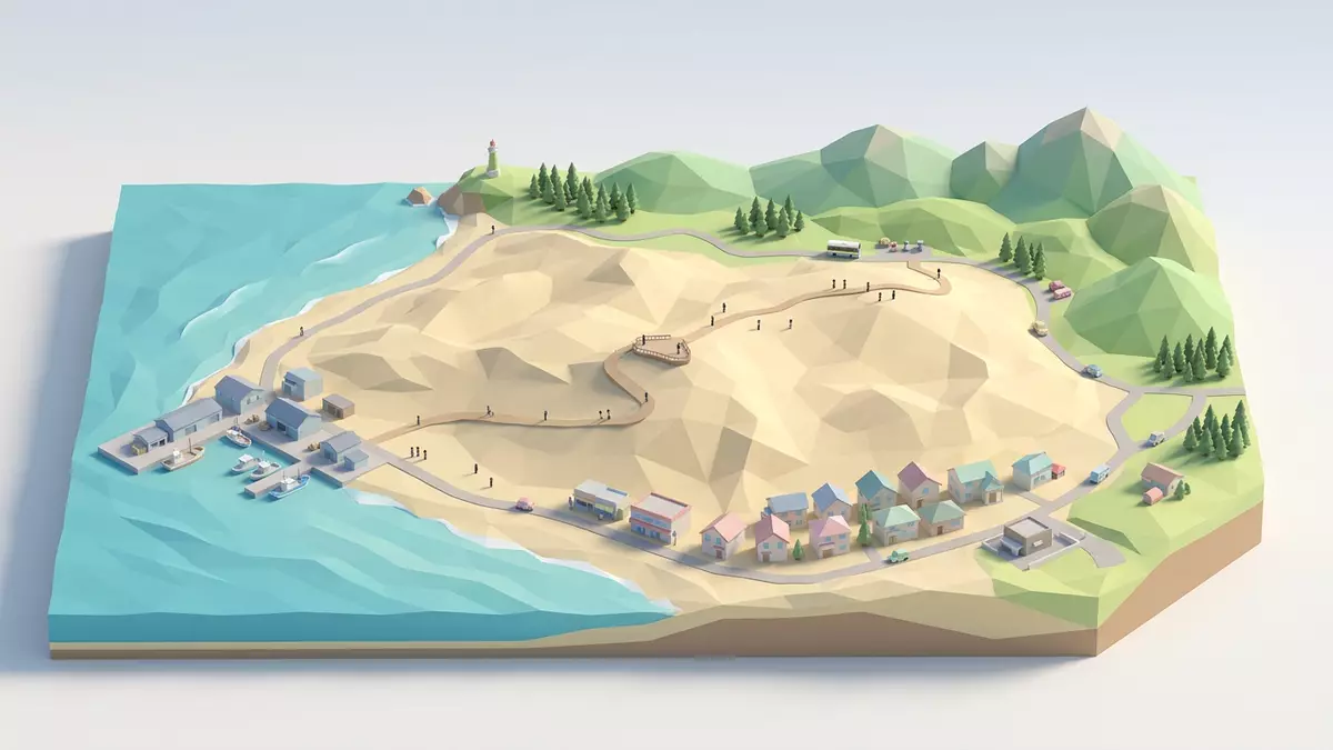
Tottori Sakyu, known in English as the Tottori Sand Dunes, is a coastal dune landscape on the Sea of Japan just outside the city of Tottori in western Honshu. Stretching along the shoreline where the Sendai River reaches the sea, this band of sand has been shaped into slopes and ridges that form Japan’s largest area of desert-like dunes by the water.
A coastal desert along the Sea of Japan
The core of Tottori Sakyu occupies a strip of coast north-east of central Tottori, where sand carried by the Sendai River has accumulated along the shoreline and been reworked by prevailing winds into an undulating dune field.Sand carried by the nearby Sendai River The dunes run for roughly 16 km (10 mi) east to west and reach around 2 km (1.2 mi) inland at their broadest, creating a long, narrow corridor of sand between the sea and the inland hills.Measured along the coast, the dune field runs for roughly 16 km
Within this area, some dune ridges rise to about 50 m (164 ft) above sea level, giving elevated vantage points over the Sea of Japan and the surrounding coastline.Tallest dune crests reach around 50 m above sea level From the higher crests the view takes in the sweep of the dune field, the line of surf and, inland, the low wooded hills that frame the sandy strip.
Formed over thousands of years
The dunes at Tottori Sakyu formed over thousands of years as sand washed down the Sendai River was deposited at its mouth and redistributed along the coast by waves and wind.Tottori Sakyu was formed thousands of years ago when river-borne sand was dumped into the sea Persistent winds blowing in from the Sea of Japan have sculpted this material into a pattern of crests, troughs and gentle slopes, with the sand surface shifting and reshaping as weather systems pass through the region.
The dune field forms part of the San’in Kaigan National Park, a protected coastal zone that traces the Sea of Japan shoreline across sections of Tottori, Hyogo and Kyoto prefectures.They are part of the Sanin Kaigan National Park It is also included within the wider San’in Kaigan Geopark, recognised as a UNESCO Global Geopark for its geological heritage and coastal landforms.The dunes are part of the San'in Kaigan Geopark, itself part of the UNESCO Global Geoparks network This protected status reflects the scientific interest of the dunes as an extensive coastal sand system and their role within a broader landscape of cliffs, beaches and headlands.
Walking the dunes and nearby viewpoints
On the ground, the dunes are shaped into broad slopes, sharper crests and sheltered hollows, all composed of fine, pale sand. Paths and trodden lines trace the most direct ways up and down the steeper faces, but much of the dune surface remains open, with ample space for walkers to choose their own route between the sea and the inland edge of the sand.The dunes spread over 16 kilometres from east to west and 2 kilometres from north to south, reaching a higher point 47 m above sea level
Above the dune field, facilities such as the Sakyu Center provide a hillside vantage point over the sand and sea, with an observation deck looking out across the dunes.The Sakyu Center features an observation deck over the dunes From here, the view emphasises the length of the dune belt and its position between the open water of the Sea of Japan and the greener inland landscape.
Visiting Tottori Sakyu: what travellers from Western Europe should know
- Tottori Sakyu lies on the Sea of Japan coast just north-east of Tottori City in Tottori Prefecture, reached by local buses that run from JR Tottori Station towards stops near the dunes.
- Walking on the dunes involves ascending and descending sandy slopes, some of them steep, with footing that can be soft underfoot and exposed to wind from the sea.
- The dunes sit within the wider San’in Kaigan National Park, with low hills and additional coastal viewpoints nearby that can be reached on foot or by local transport.
- The official language is Japanese and the currency is the yen.
- Entry requirements depend on your nationality; UK travellers can check the FCDO travel advice at gov.uk/foreign-travel-advice, Irish travellers the Department of Foreign Affairs at ireland.ie.
Searching for Tottori Sakyu on social platforms
These links open searches for Tottori Sakyu on each platform.Frequently asked questions about Tottori Sakyu
Where is Tottori Sakyu located?
Tottori Sakyu lies on the Sea of Japan coast just outside Tottori City in Tottori Prefecture, on the western side of Japan’s main island, Honshu.Located a short distance from the centre of Tottori City on the Sea of Japan coast
What can visitors expect on a visit to the dunes?
Visitors encounter an extensive sandy landscape shaped into slopes, crests and hollows, with room to walk between the sea and the inland edge of the dune field and viewpoints overlooking the coast.The dunes form Japan’s largest coastal sand-dune field
What makes Tottori Sakyu distinctive among Japanese landscapes?
Tottori Sakyu is recognised as Japan’s largest coastal dune system and forms a rare desert-like environment along the country’s seashore, within a protected national park and UNESCO Global Geopark.Largest sand dune in Japan and part of a UNESCO Global Geopark


