
Tottori Sakyu and the long shape of the coast
Published on 08/21/2026 at 11:09 | Editorial responsibility: Rafael Müller, Editor-in-Chief AD HOC NEWS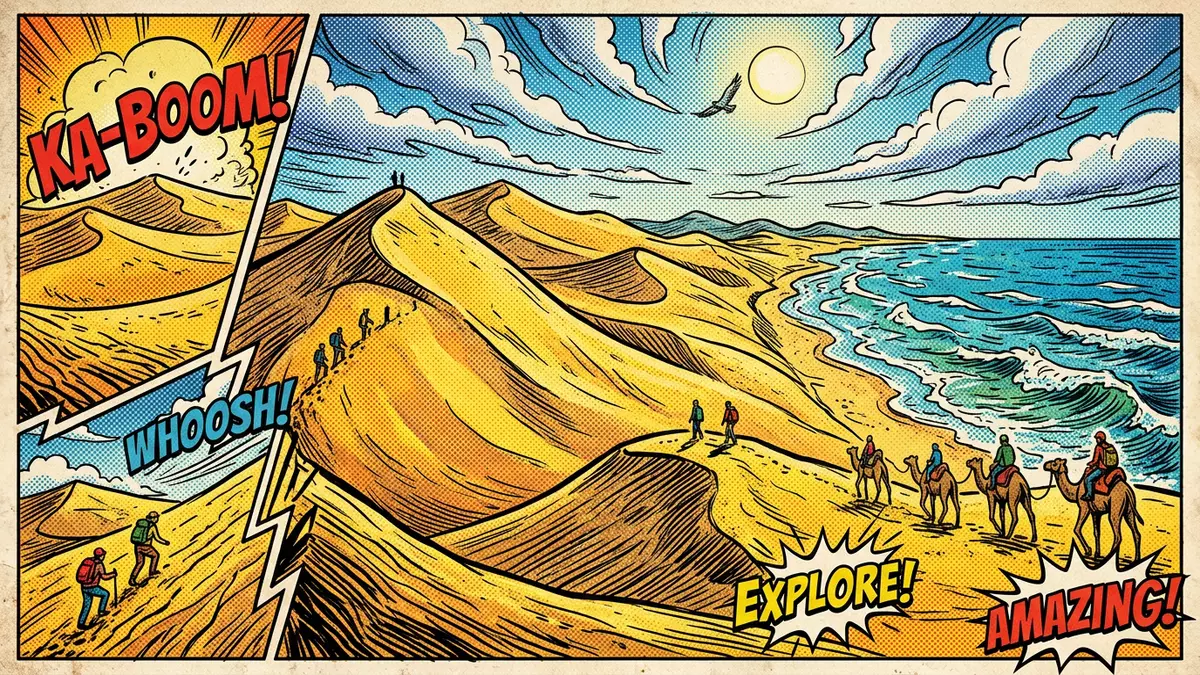
Tottori Sakyu is a broad coastal dune field beside Tottori on the Sea of Japan coast. Its pale sand, long ridges and open hollows give the place a clear shape that can be read at a glance.
The dunes form part of the San’in Kaigan UNESCO Global Geopark and a nationally designated natural monument, so the landscape carries both geological and cultural weightSan’in Kaigan UNESCO Global Geopark. The field is associated with long coastal processes, not with a single building phase or a single historical figure.
Sand, sea and the Chugoku Mountains
The dunes are part of a geological chain that begins in the Chugoku Mountains and ends at the shore. Granite gravel and sand were carried towards the sea by the Sendai River, then worked by waves, coastal currents and windgranite gravel and sand.
The result is a dune field with a long horizontal spread and a surface that changes from broad slopes to lower depressions. Government information describes the field as extending about 16 km east to west and 2.4 km north to south, with heights that rise to 47 m in some places16 km east to west.
Layers beneath the sand
What lies under the surface matters here as much as the dunes themselves. The sand overlies volcanic ash and older deposits, and the buried sequence records changes in sea level and sediment movement over a long periodvolcanic ash and pumice.
One of the most striking features of Tottori Sakyu is the contrast between the exposed dune skin and the darker bands that appear in eroded sections. That layered structure gives the place more depth than a simple sweep of sand.
National status and landscape character
Tottori Sakyu belongs to the natural heritage of Japan as a protected coastal landform. Its formal status reflects both the scale of the dune field and the geological story written into itnational natural monument.
The area is also closely linked with the wider San’in Kaigan coast, which ties dunes, headlands and shoreline into one regional landscape. Tottori Sakyu is the sand-rich section that gives the coast its most open and exposed formSan’in Kaigan UNESCO Global Geopark.
Visiting Tottori Sakyu: what travellers from Western Europe should know
- The dunes lie just outside Tottori city on the Sea of Japan coast. Tottori Station is the usual rail reference point, and buses continue towards the dune area.
- The surface is loose sand in open stretches and along ridge lines. Footing changes from firm paths near access points to softer ground farther out.
- The official language is Japanese and the currency is the yen.
- Conditions on the mountain change with the seasons; the local cable-car operators and alpine clubs provide information.
Searching for Tottori Sakyu on social platforms
These links open searches for Tottori Sakyu on each platform.
Frequently asked questions about Tottori Sakyu
Where is Tottori Sakyu?
Tottori Sakyu is beside Tottori city in Tottori Prefecture on the Sea of Japan coast. It forms a coastal dune field rather than a single hill or viewpoint.
What should a visit feel like?
The place is defined by open sand, low ridges and broad depressions. The ground changes underfoot, and the landscape opens out in every direction.
What makes Tottori Sakyu distinctive?
The dunes combine long coastal dimensions, layered geology and protected status. Their form comes from river sediment, sea action and wind acting across a very long period.


