Tiwanaku’s stone plazas on the Bolivian Altiplano
Published on 08/29/2026 at 19:46 | Editorial responsibility: Rafael Müller, Editor-in-Chief AD HOC NEWS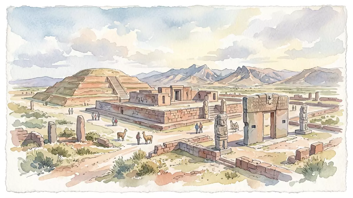
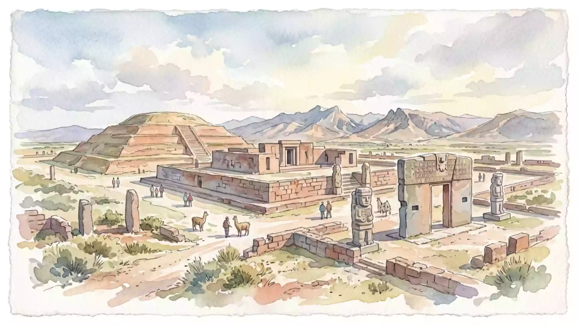
On the southern edge of Bolivia’s high Altiplano, Tiwanaku spreads across the plain as a grid of stone plazas, stepped platforms and carved gateways at around 3,850 m (12,630 ft) above sea level. The ruins belong to a pre-Columbian city that served for centuries as the ceremonial and political centre of a powerful Andean empire, inscribed as a UNESCO World Heritage Site in 2000.
A pre-Columbian capital in the southern Andes
Tiwanaku lies in the Province of Ingavi in western Bolivia, near the southern shore of Lake Titicaca and west of La Paz, on a broad plateau framed by distant Andean ranges.Tiwanaku near Lake Titicaca Archaeological work identifies the site as the capital of the Tiwanaku state, a polity that rose on the Altiplano and extended its influence across parts of present-day Bolivia, Peru, Chile and Argentina.capital of a powerful pre-Hispanic empire The city is dated mainly between the fifth and tenth centuries CE, when its monumental core and surrounding residential zones formed a planned urban centre in the Titicaca Basin.
Surface remains at Tiwanaku cover several square kilometres of the plain, with a civic and ceremonial core of stone platforms and courtyards occupying a more compact zone within that spread.planned city between 400 and 900 A.D. Much of the wider city was built in adobe and has been overtaken by the modern town, but the stone architecture of the ceremonial centre survives as the focus of visits.monumental stone buildings of the ceremonial center Standing on the site, the relationship between the low stone masses and the open sky is constant: there is almost no tall construction, only elongated platforms and sunken courts laid out with deliberate geometry.
Monumental architecture in stone and earth
Tiwanaku’s best known structures belong to a sequence of monumental construction that spans from early erections in the first millennium BCE to an apogee between about 500 and 950 CE.legacy of monumental construction The city’s core is organised around plazas and platforms, including the Akapana, a large terraced platform built of stone and earth, and the Kalasasaya, a high-walled rectangular enclosure with an interior courtyard and standing monoliths.Akapana and Kalasasaya structures Between them lies a sunken court known as the Semi-Subterranean Temple, whose enclosing walls carry rows of carved stone faces set into the masonry.
The stone used in Tiwanaku’s monuments is varied, with finely worked blocks of sandstone and andesite fitted together in precise courses, sometimes with interlocking joints and inset tenon heads.finely worked sandstone and andesite Gateways form an important part of the complex, among them the famous Gateway of the Sun, carved from a single block and bearing a central figure flanked by winged attendants in low relief. Many of these carvings refer to an Andean iconography that later appears in Inca art, linking Tiwanaku’s visual language to wider highland traditions.
Tiwanaku’s place in Andean history
Archaeologists trace occupation at Tiwanaku back around two thousand years, with modest beginnings that grew into a large urban centre around the sixth century CE.Tiwanaku grew between AD 100 and AD 500 At its height between about 500 and 900 CE, Tiwanaku was the capital of an empire controlling extensive territories across the southern Andes, supported by agriculture, pastoralism and lake resources from the Titicaca Basin.apogee between 500 and 900 AD The city’s layout, ritual architecture and sculpture influenced later highland societies, including the Inca, who incorporated aspects of Tiwanaku’s iconography and structural forms into their own building programmes.
Tiwanaku’s World Heritage inscription recognises it as a spiritual and political centre distinct from other pre-Hispanic empires of the Americas, with criteria emphasising the testimony its monuments provide to Andean civilisation.World Heritage inscription in 2000 The site stands on the Bolivian Altiplano at considerable altitude, giving any visit a geographic context as strong as the archaeological one: the open plain, the nearby lake basin and the long views towards snow-capped peaks form a constant backdrop to the stone platforms and plazas.
Visiting Tiwanaku: what travellers from Western Europe should know
- Tiwanaku lies west of La Paz in Bolivia’s Department of La Paz, near the southern shore of Lake Titicaca, reached by road across the Altiplano from the capital.
- The ceremonial centre sits on an open, high-altitude plain at around 3,850 m (12,630 ft), so approaches and walks within the complex take place under strong sun and thin air.
- The terrain within the archaeological zone combines level plazas with earthen slopes and stone steps on the main platforms, requiring steady walking on uneven surfaces.
- The official language is Spanish and the currency is the Boliviano.
- Entry requirements depend on your nationality; UK travellers can check the FCDO travel advice at gov.uk/foreign-travel-advice, Irish travellers the Department of Foreign Affairs at ireland.ie.
Searching for Tiwanaku on social platforms
These links open searches for Tiwanaku on each platform.
Frequently asked questions about Tiwanaku
Where is Tiwanaku and how high is it?
Tiwanaku is on Bolivia’s Altiplano west of La Paz, near the southern shore of Lake Titicaca, at around 3,850 m (12,630 ft) above sea level.
What can visitors expect to see at Tiwanaku?
Visitors encounter stone plazas, stepped platforms such as Akapana, walled enclosures like Kalasasaya, sunken courts and carved monuments including the Gateway of the Sun.
What makes Tiwanaku distinctive among Andean sites?
Tiwanaku combines high-altitude geography with a planned ceremonial centre whose monumental stone architecture and iconography influenced later Andean civilisations and is recognised by UNESCO.