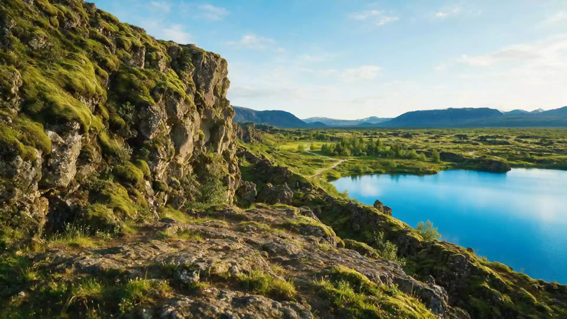
Thingvellir National Park closes bridges after 31 October floods
Published on 10/31/2026 at 10:48 | Editorial responsibility: Rafael Müller, Editor-in-Chief AD HOC NEWSFlood access and historic setting
- Thingvellir National Park recorded closed bridges on 31 October 2026 after flooding in the River Öxará.
- The closure affects pedestrian bridges beside a river linked to the former Althing assembly site.
- UNESCO records the Althing at Thingvellir from about 930 to 1798 and around 50 booth remains.
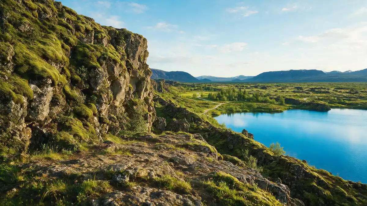
Thingvellir National Park closed bridges after flooding in the River Öxará on 31 October 2026, according to the park authority. The notice concerns the historic Icelandic landscape around Thingvellir, where the river passes the former site of the Althing assembly.
Flooding closes bridges at Thingvellir on 31 October
The park’s current news notice says that floods in the River Öxará led to the closure of bridges on 31 October 2026. It does not specify how many bridges are affected, how long the restriction will last or whether alternative crossings are available.
The information is an access update rather than a general weather forecast. Travellers planning a visit to the national park should therefore treat the affected bridge route as unavailable unless the operator posts a later change. The notice does not announce a closure of the entire park.
The operator has previously described flood damage to pedestrian bridges over the same river. A separate park notice says that a walkway between Lögberg and Flosagjá was closed after river damage and that the route required repair. That earlier notice is not used to establish the 31 October 2026 restriction, but it shows why water levels in the river matter for movement through the assembly area.
The park’s flood notice places the access change in the River Öxará area and names the closed bridges. The same page also lists other visitor updates, but none is used here as a second current peg.
The River Öxará runs through a World Heritage landscape
The river is part of the setting that gives the national park its historical identity. The park authority says the Althing general assembly was established at Thingvellir around 930 and continued to meet there until 1798. The site is now protected as a national shrine in Iceland.
UNESCO describes the property as including the remains of the Althing, with fragments of around 50 booths built from turf and stone. Remains from the tenth century are thought to survive underground, while the wider landscape also records agricultural use from the eighteenth and nineteenth centuries.
This makes the 31 October bridge closure relevant beyond a single piece of park infrastructure. A crossing over the Öxará can form part of access to a landscape where political and social history is visible through archaeological remains, paths and the river valley. The restriction may therefore change how visitors reach parts of the historic area without changing the status of the wider World Heritage setting.
UNESCO’s Thingvellir record identifies the park in Iceland and dates the Althing’s use of the site from 930 to 1798. It also records the property’s publication in 2004.
Why the Öxará crossing matters to the visit
Thingvellir lies in Iceland’s rift landscape, where faults and fissures reveal the movement of the earth’s crust. The park authority describes the area as part of the Mid-Atlantic Ridge and links its geology with Lake Thingvallavatn and the surrounding gorges.
The current notice gives no information about water levels, safety conditions away from the bridges or the reopening date. Visitors should not infer that a closed bridge can be crossed on foot, and should follow any signs or instructions issued at the site.
Visiting Thingvellir National Park: what travellers from Western Europe should know
- The access change was recorded on 31 October 2026 and concerns bridges closed because of flooding in the River Öxará.
- The closure is local to the affected bridges; the park notice does not state that the whole national park is closed.
- The site is in Iceland, and UNESCO identifies Thingvellir park as a place associated with the Althing from 930 to 1798.
- The landscape includes river crossings, rift faults, gorges and archaeological remains, so routes can change when water affects infrastructure.
Searching for Thingvellir National Park on social platforms
These links open searches for Thingvellir National Park on each platform.
Frequently asked questions about Thingvellir National Park
What has changed at Thingvellir National Park?
Bridges over or near the River Öxará were closed after flooding was recorded on 31 October 2026. The park has not stated that the entire site is closed.
Where is Thingvellir National Park and how do you get there?
It is in Iceland, in the landscape associated with the River Öxará and Lake Thingvallavatn. UNESCO identifies the location as Thingvellir park, Iceland.
What is Thingvellir National Park?
It is a protected Icelandic landscape containing the former Althing assembly site, which UNESCO dates from 930 to 1798, as well as rift geology and archaeological remains.