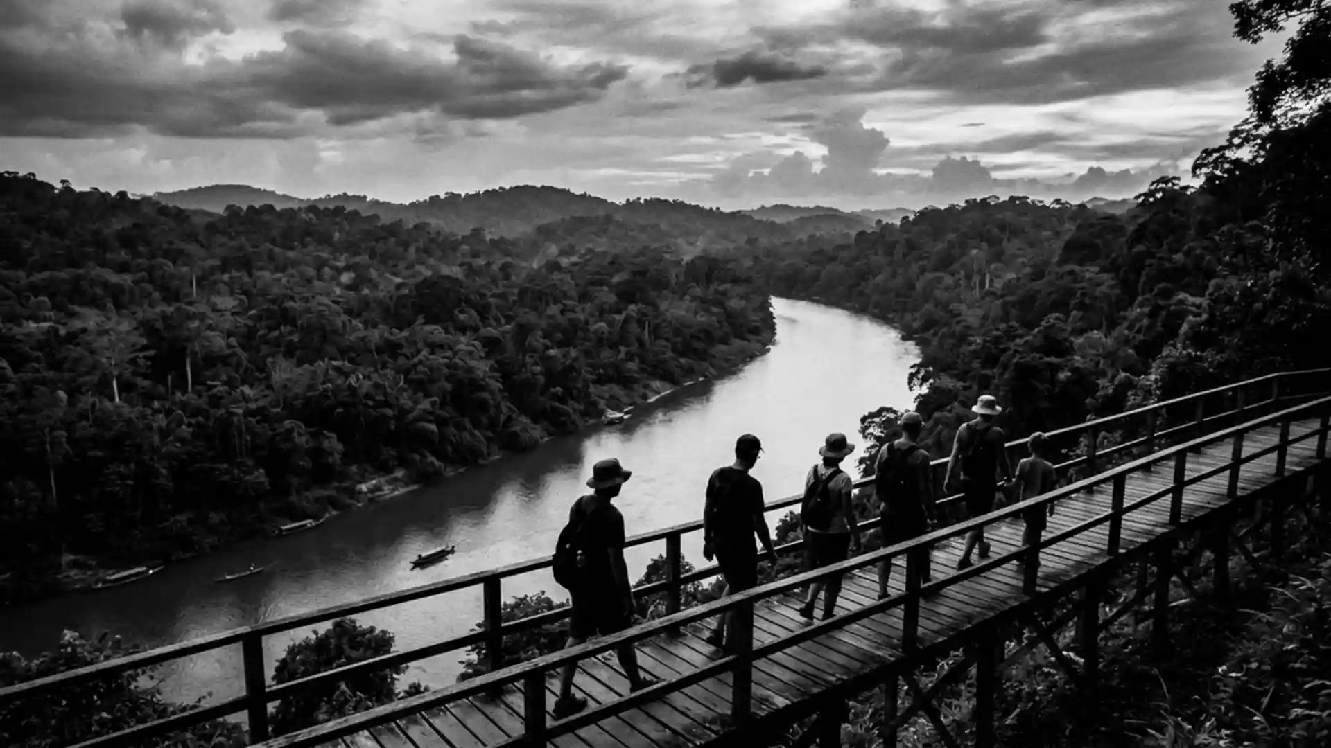
Taman Negara and the rainforest gateway at Kuala Tahan
Published on 09/09/2026 at 16:34 | Editorial responsibility: Rafael Müller, Editor-in-Chief AD HOC NEWS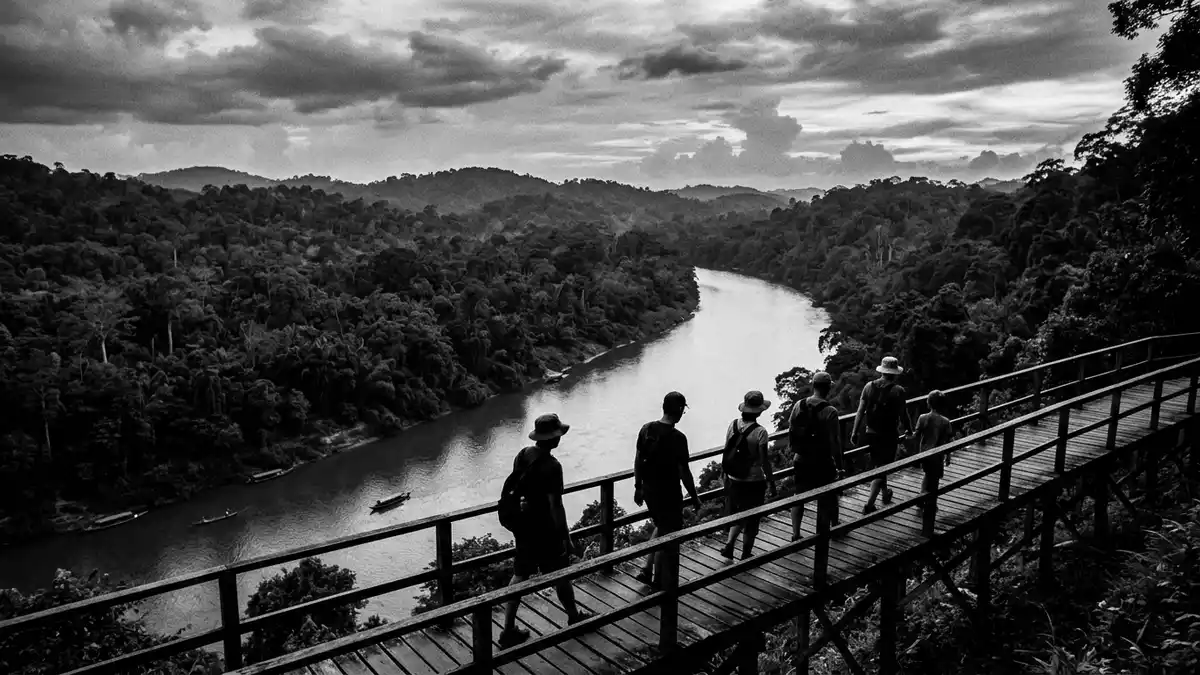
Taman Negara is a vast national park in Peninsular Malaysia, with Kuala Tahan as its best-known gateway. Its landscape combines lowland rainforest, rivers and the plateau around Mount Tahan, the highest mountain in Peninsular MalaysiaMount Tahan.
Rainforest, river and high ground at Taman Negara
The park’s scale is part of its appeal, but its most immediate impression comes from the contrast between river level and forested height. The canopy walkway, cave system and rapids near Kuala Tahan give the place several distinct faces within one parkcanopy walkway.
Mount Tahan rises within the park and anchors the topography with a named peak. That mountain places Taman Negara within a larger protected landscape that reaches from the river corridor into higher forest and plateau countryPeninsular Malaysia.
A park shaped by the 1930s
The protected area took formal shape in the late 1930s under the Malay rulers of Pahang, Kelantan and Terengganu. It was first known as King George V National Park and took the name Taman Negara after independence in 1957King George V National Park.
That history matters because the name itself marks a change in political era, while the rainforest remained the same broad setting. The park’s identity rests on that combination of long-established forest and a formal status created in the twentieth century1938–1939.
Kuala Tahan as the park gateway
Kuala Tahan sits beside the park’s main access point and functions as the practical base for entering the forest. The village links to the park headquarters in Pahang, and the Tembeling River forms part of the approach across the waterpark headquarters.
That riverside setting gives the gateway a clear identity of its own. Taman Negara is not a single viewpoint but a layered place of jetty, village edge, river crossings and forest trailheadsKuala Tahan.
Visiting Taman Negara: what travellers from Western Europe should know
- The park is reached through Kuala Tahan in Pahang, with Jerantut serving as the nearest town named in access information. Road access and river access both appear in the standard approach to the park.
- Crossing the river is part of the approach at the main gateway. The visitor base lies on one side of the water and the park lies across it.
- The park is in Malaysia, where the official language is Malay and the currency is the Malaysian ringgit.
- The landscape includes rainforest, river sections and higher ground around Mount Tahan. That means the place is not a single flat garden but a broad protected area.
Searching for Taman Negara on social platforms
These links open searches for Taman Negara on each platform.
Frequently asked questions about Taman Negara
Where is Taman Negara?
Taman Negara is in Peninsular Malaysia, with Kuala Tahan as the main gateway named in access details. The park stretches into a broad forested landscape around the Tembeling River and Mount Tahan.
What does a visit involve?
A visit centres on river access, forest trails and the park landscape around Kuala Tahan. The place combines water, rainforest and higher ground rather than a single enclosed attraction.
What makes Taman Negara distinctive?
Its distinctive feature is the combination of a formal national park, a named gateway village and a large rainforest setting that includes Mount Tahan. The park’s twentieth-century name and its older forest character sit side by side.