
Taman Negara and the rainforest edge at Kuala Tahan
Published on 09/15/2026 at 08:55 | Editorial responsibility: Rafael Müller, Editor-in-Chief AD HOC NEWS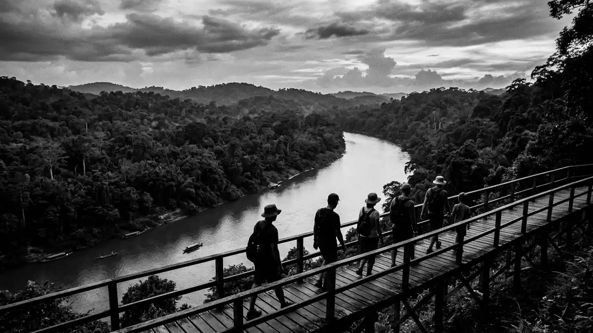
Taman Negara is a vast tropical rainforest park in Peninsular Malaysia, reached through Kuala Tahan on the Tembeling River. Its identity rests on scale, forest cover and a protected history that began in the 1920s.
Taman Negara’s forest landscape and scale
The park spreads across Pahang, Kelantan and Terengganu, with the main visitor area at Kuala Tahan in Pahang. It is a lowland rainforest landscape, with dense canopy, river water and steep green slopes in the wider park area.Protected history
The same UNESCO tentative-list entry records the park as first gazetted as Gunung Tahan Game Reserve in 1925 and declared a national park in 1939 under the name King George V National Park. It also identifies Taman Negara as the first and largest national park gazetted in Malaysia.Gazetted in 1925
King George V National Park and its long protected status
The park’s older names still point to its colonial-era legal history, when it was declared under the British administration. That history remains visible in the formal sequence of names: Gunung Tahan Game Reserve, King George V National Park and Taman Negara.Colonial-era names
For readers interested in place identity, that chain matters as much as the forest itself. It shows how the park belongs both to Malaysia’s natural heritage and to its recorded legal history, with 1939 as the decisive national-park date.National park date
Kuala Tahan as the main river gateway
Kuala Tahan is the name most closely associated with access to Taman Negara. The settlement sits on the Tembeling River and acts as the park’s principal gateway in Pahang.Tembeling River
The geography matters because the park is not a single urban monument but a forest region entered by river and road connections. That gives Kuala Tahan its role as a threshold between settlement, river and rainforest.Main access point
Visiting Taman Negara: what travellers from Western Europe should know
- The park is reached through Kuala Tahan in Pahang, with river access linked to the Tembeling River and overland links from the surrounding region.
- The terrain is forested and humid, with rivers, dense vegetation and long walking routes inside the park.
- Gunung Tahan, the highest point in the park, rises to 2,187 metres above sea level.
- The official language is Malay and the currency is the Malaysian ringgit.
Searching for Taman Negara on social platforms
These links open searches for Taman Negara on each platform.
Frequently asked questions about Taman Negara
Where is Taman Negara?
Taman Negara lies in Peninsular Malaysia across Pahang, Kelantan and Terengganu. Kuala Tahan in Pahang is the best-known gateway.
What does a visit involve?
Expect rainforest, river crossings and long walking routes rather than a compact urban attraction. The park is a large protected landscape, not a single viewpoint.
What makes Taman Negara distinctive?
Its protected history reaches back to 1925, and its national-park designation came in 1939 under the name King George V National Park. It remains the first and largest national park gazetted in Malaysia.


