
Sharyn Canyon’s sculpted sandstone near Almaty
Published on 09/03/2026 at 13:07 | Editorial responsibility: Rafael Müller, Editor-in-Chief AD HOC NEWS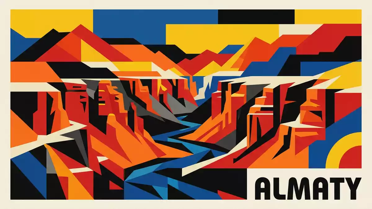
Sharyn Canyon in the Almaty Region of Kazakhstan cuts a deep scar through the steppe, its rust-coloured walls and freestanding towers giving the landscape a layered, sculpted character. The canyon follows the Sharyn River, part of a national park established in 2004, and exposes sedimentary rocks that formed over millions of years.
A sandstone corridor across the steppe
Sharyn Canyon runs through south-eastern Kazakhstan, roughly east of Almaty and close to the border with China. It lies within the Enbekshikazakh, Raiymbek and Uygur districts of the Almaty Region inside the protected Charyn State National Nature Park, which was created in 2004 to safeguard a stretch of the Sharyn River valley and surrounding steppe.Charyn State National Nature Park The canyon itself stretches for well over 50 km, with some sources placing its length at around 154 km, and reaches depths of several hundred metres where the river has cut most deeply into the rock.stretches for well over 50 km
The contrast with the surrounding landscape is striking. For long distances the plateau above the canyon remains relatively flat, covered by semi-arid steppe vegetation, before breaking abruptly into cliffs and gorges. From viewpoints along the rim, the Sharyn River appears as a narrow ribbon far below, winding between rock faces whose colours shift from red and orange to brown and almost black under different light.
The Valley of Castles and other side canyons
Sharyn Canyon is not a single uniform trench but a system of separate gorges and side canyons carved into sedimentary rock. Guides and park information commonly distinguish several named sections, including the Valley of Castles, Temirlik Canyon, Yellow Canyon, Red Canyon and Bestamak Canyon.Valley of Castles, Temirlik Canyon Each section has its own character, depending on the thickness of the rock layers, the width of the gorge and the strength of the river or seasonal streams that cut it.
The Valley of Castles is the best-known part of Sharyn Canyon, named for the freestanding rock pillars and buttresses that suggest a line of weathered towers. Here the canyon narrows to a corridor where steep walls rise above a track that leads down towards the river, giving visitors close views of the banded sandstone. Further along the system, Temirlik Canyon and the other branches cut away from the main river valley into more secluded gorges, where rock colours and shapes vary with the underlying strata.
Rock, river and geological time
The rocks exposed in Sharyn Canyon are mainly sedimentary, laid down layer upon layer before being uplifted and eroded. Geological descriptions place their formation in the order of 10 to 12 million years ago, with the Sharyn River later cutting down through these deposits to create cliffs and pinnacles up to around 300 m (980 ft) high.sedimentary rocks that formed The result is a cross-section through time in which bands of differing hardness weather into terraces, shelves and protruding ledges.
Seen from within the canyon, the rock faces show vertical fractures and horizontal bedding lines, producing blocks and towers that resemble stacked masonry. In places, talus fans of broken stone slope from the base of the cliffs towards the riverbed, while the river itself threads between coarse gravel bars and patches of vegetation. This interplay between solid rock, loose debris and flowing water gives Sharyn Canyon an active, evolving character, even though the processes shaping it operate on timescales far beyond a human visit.
Visiting Sharyn Canyon: what travellers from Western Europe should know
- Sharyn Canyon lies east of Almaty in south-eastern Kazakhstan, within the Almaty Region and the Charyn State National Nature Park along the Sharyn River.
- Approaches by road lead across open steppe to parking areas near the rim, from where tracks and paths descend towards the canyon floor and the river.
- The terrain inside the canyon includes unshaded stretches on gravel and sand, as well as sections where slopes and paths can feel steep underfoot.
- The official language is Kazakh and the currency is the Kazakhstani tenge. Entry requirements depend on your nationality; UK travellers can check the FCDO travel advice at gov.uk/foreign-travel-advice, Irish travellers the Department of Foreign Affairs at ireland.ie.
Searching for Sharyn Canyon on social platforms
These links open searches for Sharyn Canyon on each platform.
Frequently asked questions about Sharyn Canyon
Where is Sharyn Canyon?
Sharyn Canyon is in the Almaty Region of south-eastern Kazakhstan, east of the city of Almaty, within the Charyn State National Nature Park.
What can visitors expect to see?
Visitors encounter a deep river gorge with red and brown sedimentary cliffs, rock towers in areas such as the Valley of Castles and wide views over the surrounding steppe.
What makes Sharyn Canyon distinctive?
Sharyn Canyon is distinctive for its long system of sandstone gorges, the concentration of named sections such as the Valley of Castles and the clear layering of its exposed rock.


