
Sequoia National Park’s giant trees and high Sierra extremes
Published on 08/28/2026 at 06:39 | Editorial responsibility: Rafael Müller, Editor-in-Chief AD HOC NEWS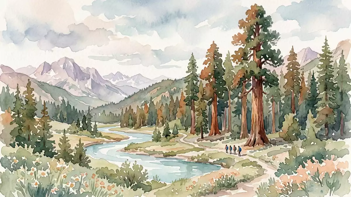
Sequoia National Park rises above the small community of Three Rivers on the western flank of California’s Sierra Nevada, where groves of giant sequoias meet high alpine ridges. Established as a United States national park in 1890, it protects the Giant Forest with the General Sherman Tree and reaches towards the summit of Mount Whitney along the crest of the range.
Where giant sequoias dominate the middle slopes
Sequoia National Park occupies an irregular tract on the western slope of the Sierra Nevada in eastern central California, spreading across foothills, deep river canyons and high forested plateaus.Sequoia National Park comprises about 604 square miles, giving its landscapes a wide vertical and horizontal reach.
The park’s lower foothills lie along the Kaweah River near Ash Mountain, where elevations are little more than 400 m (around 1,400 ft) above sea level.From this canyon floor the terrain climbs dramatically towards the main Sierra crest, creating one of the largest elevation ranges in any protected area in the United States south of Alaska.
Between roughly 1,200 and 2,400 m (about 4,000 and 8,000 ft) on the western slopes, the park shelters the belt where giant sequoias grow in mixed conifer forest.The Big Trees stand in scattered groves within this elevation band, their cinnamon-coloured trunks rising above pines and firs in deep, humid soil fed by winter snow and summer thunderstorms.
The Giant Forest and the General Sherman Tree
Within this sequoia belt, the Giant Forest is one of the park’s most celebrated groves, lying in Tulare County on gently undulating ground above the Kaweah River canyons.Giant Forest sits in the central part of Sequoia National Park, linked by the General’s Highway to other high-elevation visitor areas.
The General Sherman Tree stands within the Giant Forest as a giant sequoia of exceptional volume.Measured from its base, General Sherman rises roughly 83.8 m (274.9 ft) in height, with a circumference at ground level of about 31.1 m (102.6 ft). Its trunk remains broad high above the forest floor: about 18 m (60 ft) above the base, the diameter is still more than 5 m (17.5 ft), and even around 55 m (180 ft) above the base, the trunk measures over 4 m (14 ft) across.The General Sherman Tree is recognised as the largest tree by volume, with a crown spreading more than 32 m (106.5 ft).
High Sierra granite and the crest near Mount Whitney
Above the forest zones, the landscape of Sequoia National Park changes to bare granite domes, jagged ridges and glacial basins. Elevations climb from around 418 m (1,370 ft) in the foothills to more than 4,400 m (14,494 ft) on the highest peaks along the eastern boundary.The crest of the Sierra Nevada within Sequoia and neighbouring Kings Canyon reaches towards the summit of Mount Whitney, which forms the tallest mountain in the contiguous United States.
Mount Whitney, known in the Paiute language as Tumanguya, rises to about 4,421 m (14,505 ft) and anchors the southern end of the high Sierra crest.Its west slope lies within Sequoia National Park, where glacial valleys and alpine lakes sit below ridgelines shaped by ice and weather. The summit marks the southern terminus of the John Muir Trail, which runs northward through the Sierra Nevada to Yosemite Valley.
Across this elevation span, vegetation shifts from drought-tolerant chaparral in the lower foothills through mixed conifer forests and giant sequoia groves to sparse subalpine woodland and bare rock near the crest.Above about 3,350 m (11,000 ft) the terrain becomes largely treeless, with boulder fields, talus slopes and snow patches dominating the skyline.
Visiting Sequoia National Park: what travellers from Western Europe should know
- Sequoia National Park lies on the western slopes of the Sierra Nevada in eastern central California, with the main southern entrance near Three Rivers along the Kaweah River.
- Within the park, steep roads climb from foothill canyons to high forest plateaus, and many trails cross uneven ground with significant elevation changes.
- The terrain ranges from chaparral-covered hillsides at lower levels to dense conifer and giant sequoia forest zones at mid-elevations and rocky alpine basins near the Sierra crest.
- The official language is English and the currency is the United States dollar.
- Entry requirements depend on your nationality; UK travellers can check the FCDO travel advice at gov.uk/foreign-travel-advice, Irish travellers the Department of Foreign Affairs at ireland.ie.
Searching for Sequoia National Park on social platforms
These links open searches for Sequoia National Park on each platform.Frequently asked questions about Sequoia National Park
Where is Sequoia National Park?
Sequoia National Park is on the western slopes of the Sierra Nevada in eastern central California, above the town of Three Rivers and the Kaweah River canyon.
What should visitors expect on a visit?
Visitors encounter steep mountain roads, mixed conifer forest, giant sequoia groves such as the Giant Forest and, at higher elevations, bare granite ridges and glacial basins.
What makes Sequoia National Park distinctive?
The park combines enormous giant sequoia trees like the General Sherman Tree with one of the greatest elevation ranges of any United States national park south of Alaska.


