
Seoraksan Gungnip Gongwon’s granite ridges above Sokcho
Published on 09/15/2026 at 06:08 | Editorial responsibility: Rafael Müller, Editor-in-Chief AD HOC NEWS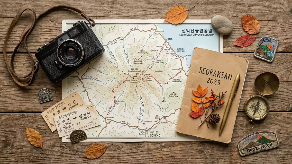
Seoraksan Gungnip Gongwon rises inland from Sokcho as a park of granite ridges, forested valleys and steep mountain faces. Daecheongbong, at 1,708 m (5,604 ft), gives the landscape a clear vertical axis.
Granite ridges and wooded valleys
The park lies in the Taebaek mountain range on the east-central Korean peninsula and forms a broad mountain block above the coastal plain. Its rock is exposed in sharp spines, broken slopes and darker valley walls, with forest filling the lower ground.
The Seoraksan massif is the visual centre of the park, and the summit line is easy to read against the sky. One source describes the area as a UNESCO biosphere reserve from 1982, which adds a formal conservation frame to the mountain scenery.
Seoraksan Gungnip Gongwon and Sokcho
Sokcho lies on the coast, while the park begins inland and climbs quickly into higher country. The western and northern parts of the terrain extend into neighbouring districts, so the mountain landscape reaches beyond a single valley edge.
The park’s setting gives it a double character: a coastal city at one side, high granite ground at the other. Another source records Seoraksan Gungnip Gongwon as South Korea’s fifth national park in 1970, a date that places it within the country’s modern protected-area history.
From ridge lines to deep valleys
The park includes steep faces, narrow valleys and lower forested basins, with several summits rising above the surrounding slopes. That mix gives it more variety than a single ridge walk, and the relief changes from one section to another.
Walking routes reach temples, stream corridors and higher viewpoints, so the park combines natural form with built cultural sites. The name Seoraksan Gungnip Gongwon therefore refers to both a mountain system and a protected landscape shaped by water, rock and elevation.
Visiting Seoraksan Gungnip Gongwon: what travellers from Western Europe should know
- Seoraksan Gungnip Gongwon lies inland from Sokcho in Gangwon Province. Road and bus connections link the coast to the Seorak-dong entrance area.
- The terrain is mountainous and steep, with granite slopes, high ridges and forest tracks. Some routes involve rocky ground and long ascents.
- The official language is Korean and the currency is the South Korean won.
- Entry requirements depend on your nationality; UK travellers can check the FCDO travel advice at gov.uk/foreign-travel-advice, Irish travellers the Department of Foreign Affairs at ireland.ie.
Searching for Seoraksan Gungnip Gongwon on social platforms
These links open searches for Seoraksan Gungnip Gongwon on each platform.
Frequently asked questions about Seoraksan Gungnip Gongwon
Where is Seoraksan Gungnip Gongwon located?
It is inland from Sokcho in Gangwon Province, in the Taebaek mountain range on the east-central Korean peninsula.
What does a visit involve?
The park brings together granite peaks, forested valleys and mountain routes that rise from the coast towards higher ground.
What makes Seoraksan Gungnip Gongwon distinctive?
Its summit, Daecheongbong, its 1970 national park designation and its 1982 biosphere reserve status give it a clear identity.


