
Seoraksan Gungnip Gongwon: granite ridges above Sokcho
Published on 08/28/2026 at 16:30 | Editorial responsibility: Rafael Müller, Editor-in-Chief AD HOC NEWS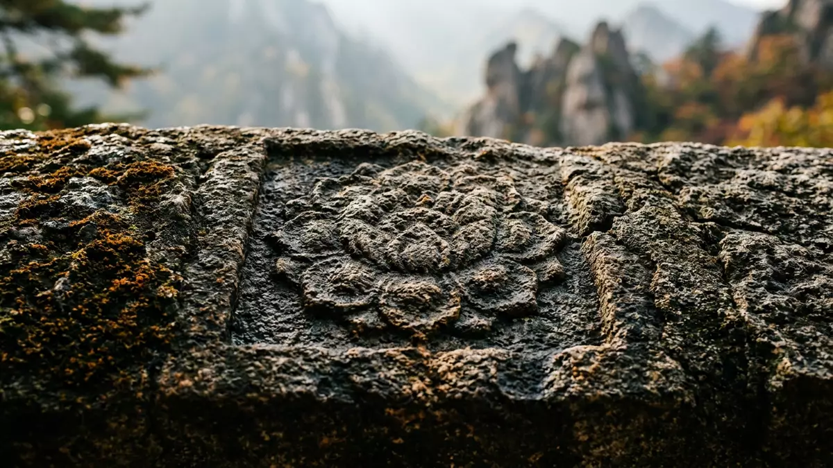
Seoraksan Gungnip Gongwon, known in English as Seoraksan National Park, rises inland from Sokcho in Gangwon Province as a protected mountain landscape of granite peaks, steep valleys and forested slopes. Its main summit, Daecheongbong, reaches 1,708 m (5,604 ft) above sea level, making Seoraksan the highest mountain in the Taebaek range and a dominant landmark on the east-central Korean peninsula. Daecheongbong at 1,708 metres helps define the park’s dramatic skyline.
Granite peaks and divided mountain sectors
Seoraksan Gungnip Gongwon lies within the Taebaek mountain range, where dissected granite and gneiss form rocky hills, ridges and cliffs that give the area its sharply serrated outline. The terrain is commonly described in three main sectors: Naeseorak, or Inner Seorak, towards Inje; Oeseorak, or Outer Seorak, extending towards Sokcho and eastern valleys; and Namseorak, covering slopes and ridges towards Yangyang and the south. Inner, South and Outer Seorak frame the way travellers experience the different faces of the mountain.
The park covers a broad area in north-east South Korea, spanning administrative regions that include Inje, Goseong, Yangyang and Sokcho, each sharing parts of the Seoraksan massif. Around 400 square kilometres of protected land accommodate high ridges and lower river valleys within one continuous national park. Seoraksan Gungnip Gongwon was designated a national park in 1970, securing formal protection for its mountain environment at a time when national conservation areas were being defined across South Korea.
UNESCO biosphere reserve and mountain ecology
Beyond its status as a national park, Seoraksan Gungnip Gongwon is recognised as Korea’s first UNESCO biosphere reserve under the Man and the Biosphere Programme, highlighting the coexistence of conservation and sustainable human use. The Mount Sorak biosphere reserve inscription dates to 1982, placing the park within an international network of protected mountain ecosystems. Korea’s first UNESCO biosphere reserve emphasises the ecological significance of Seoraksan’s high peaks and forested slopes.
Within the park, altitude variations between valley floors and summits provide conditions for different plant communities and habitats, ranging from temperate forest at lower levels to more exposed alpine areas near Daecheongbong. Rivers and streams cut through the granite, creating narrow gorges and waterfalls that punctuate the landscape. The Taebaek range itself runs along the east-central Korean peninsula, with Seoraksan standing as one of its best-known high mountain areas and as the highest peak in this range. Seoraksan within the Taebaek range anchors the park’s geography.
Approaching Seoraksan Gungnip Gongwon from Sokcho
Sokcho is the coastal city most closely associated with Seoraksan Gungnip Gongwon, providing bus connections inland towards the park’s main Seorakdong entrance. Local buses from Sokcho’s terminals run into the valley where the central visitor area is located, with the route identified in transport guides as bus 7 and 7-1. Seorakdong main entrance near Sokcho functions as a common starting point for trails.
Within the park, approaches from the Sokcho side lead into Oeseorak, the Outer Seorak sector, where valleys and ridges rise towards the higher granite peaks. Outer Seorak including Daecheongbong combines accessible lower terrain with views into more remote sections of the massif. Paths from the main entrance climb through forest towards rocky viewpoints, and further routes extend deeper into the high country for longer mountain days.
Visiting Seoraksan Gungnip Gongwon: what travellers from Western Europe should know
- Seoraksan Gungnip Gongwon lies inland from Sokcho in Gangwon Province on the east-central part of the Korean peninsula, and is approached by road from the coastal city.
- From Sokcho’s bus terminals, local buses run towards the Seorakdong main entrance area, where roads, paths and facilities sit in a valley beneath the higher peaks.
- The terrain within the park includes steep mountain paths, stairways on certain sections and significant altitude differences between valley floors and surrounding summits.
- Seoraksan Gungnip Gongwon is divided into Inner Seorak, South Seorak and Outer Seorak, with the Sokcho side forming part of the Outer Seorak sector.
- The official language is Korean and the currency is the South Korean won. Entry requirements depend on your nationality; UK travellers can check the FCDO travel advice at gov.uk/foreign-travel-advice, Irish travellers the Department of Foreign Affairs at ireland.ie.
Searching for Seoraksan Gungnip Gongwon on social platforms
These links open searches for Seoraksan Gungnip Gongwon on each platform.
Frequently asked questions about Seoraksan Gungnip Gongwon
Where is Seoraksan Gungnip Gongwon located?
Seoraksan Gungnip Gongwon is in Gangwon Province in north-east South Korea, inland from the coastal city of Sokcho and within the Taebaek mountain range.
What should visitors expect on a visit?
Visitors encounter a mountain landscape of granite ridges, forested valleys and marked paths leading from the Seorakdong entrance towards viewpoints and higher terrain.
What makes Seoraksan Gungnip Gongwon distinctive among Korean mountain parks?
The park combines the country’s highest Taebaek peak, Daecheongbong, with its status as Korea’s first UNESCO biosphere reserve, giving Seoraksan a prominent place among protected mountain areas.


