
Salar de Uyuni, the high Andean mirror of salt
Published on 08/18/2026 at 14:03 | Editorial responsibility: Rafael Müller, Editor-in-Chief AD HOC NEWS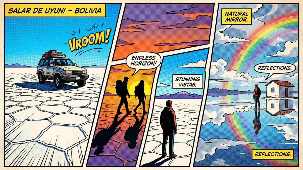
On the high plateau of southwest Bolivia, Salar de Uyuni spreads as a vast sheet of white between distant volcanic ridges, a salt flat large enough to rival a small country and lying more than 3,600 m (11,800 ft) above sea level. Embedded in the Andean Altiplano, it occupies part of the Daniel Campos Province in the Potosí Department and has become one of the clearest examples of how ancient lakes have left enduring marks on the landscape.
A salt desert shaped by vanished lakes
Salar de Uyuni occupies an area of around 10,582 km² (4,085 sq mi), making it the largest continuous salt flat on Earth and the dominant salt-encrusted basin of Bolivia’s Altiplano.Uyuni Salt Flat area Its surface appears as a hard crust of salt, thick enough to support vehicles and resting above a subterranean lake of mineral-rich brine.crust above a brine pool The basin sits at about 3,656 m (11,995 ft), a height that places it among the loftiest deserts on the planet and ensures that the horizon feels close and the sky intense in colour.high-altitude salt flat
Geologists trace the origins of Salar de Uyuni to the drying of prehistoric lakes on the Altiplano, including large bodies such as Lake Minchin and Tauca that once covered wide areas of southwest Bolivia.palaeolake Tauca As these lakes evaporated, dissolved minerals precipitated and accumulated, producing thick deposits of salt interlayered with sediments. Over tens of thousands of years, uplift and climatic change left behind an almost level surface whose vertical variation across thousands of square kilometres is extremely small, a feature used by space agencies as a reference for calibrating satellite instruments.surface flatness for satellites
White crust, hidden brine and volcanic islands
At eye level the most immediate feature of Salar de Uyuni is its continuous white crust, composed predominantly of halite and other evaporite minerals that break into polygonal patterns and ridges under the sun.salt crust description Beneath this crust lies a deep accumulation of salt and brine, with estimates running to billions of tonnes of salt and a substantial thickness in the central parts of the basin.salt volume and depth The brine carries high concentrations of dissolved minerals, especially lithium, making the subsurface of Salar de Uyuni one of the most important lithium reservoirs identified worldwide.lithium-rich brine
The salt expanse is punctuated by rocky islands, remnants of ancient volcanic activity and lake beds that now rise as isolated outcrops above the flat crust. Among them, Incahuasi Island stands near the centre of the salar and supports cacti that reach many metres in height, creating a distinctive contrast between living plants and the mineral desert beneath.Incahuasi Island and cacti Around the margins of the salt flat, low ridges and more distant volcanoes frame the basin, reminding visitors that this landscape belongs to a wider Andean volcanic province shaped by tectonic uplift and eruptions.
From calibration field to Andean landmark
The exceptional flatness and reflectivity of Salar de Uyuni have attracted not only travellers but also scientific and technical interest. Space agencies use its surface as a calibration field for satellite altimeters and other remote-sensing instruments, taking advantage of the combination of large area, high elevation and minimal relief.calibration of satellite altimeters When a thin layer of water covers the crust, the salt flat acts as a natural mirror that reflects sky and clouds with notable clarity, creating a symmetrical landscape that can be captured from ground level and orbit alike.mirror effect on the salt flat
Beneath the crust, the brine contains a large proportion of the world’s known lithium reserves, a light metal essential for many modern batteries.Uyuni lithium reserves Studies and reports describe the salar as holding a significant share of these reserves, and discussions around extraction have placed this Bolivian basin at the centre of debates about resource use, energy storage and local development.lithium reserve estimates On the surface, small-scale salt works operate along the shores, while tracks across the crust connect Uyuni with settlements such as Llica and Colchani on the edges of the flat.saltworks around the salar
Visiting Salar de Uyuni: what travellers from Western Europe should know
- Salar de Uyuni lies south-west of the town of Uyuni in the Potosí Department of Bolivia, on the Andean Altiplano, and is commonly reached by vehicle excursions from Uyuni.
- The terrain on the salt flat consists of a hard mineral crust underfoot, with long drives across open ground and occasional short walks on uneven salt surfaces and rocky islands at high altitude.
- The surrounding region includes volcanic peaks and smaller salars, and vehicle routes often pass through remote areas where conditions can be exposed to strong sun and wind.
- The official language is Spanish and the currency is the Boliviano.
- Entry requirements depend on your nationality; UK travellers can check the FCDO travel advice at gov.uk/foreign-travel-advice, Irish travellers the Department of Foreign Affairs at ireland.ie.
Searching for Salar de Uyuni on social platforms
These links open searches for Salar de Uyuni on each platform.
Frequently asked questions about Salar de Uyuni
Where is Salar de Uyuni located?
Salar de Uyuni lies on the Andean Altiplano in south-west Bolivia, within the Daniel Campos Province of the Potosí Department, close to the town of Uyuni.
What can visitors expect when they reach the salt flat?
Visitors encounter a broad white salt crust under a high Andean sky, with vehicle tracks crossing the surface, rocky islands rising above the flat and views towards surrounding volcanic peaks.
What makes Salar de Uyuni distinctive among salt flats?
Its vast area, remarkable flatness, high elevation and lithium-rich brine beneath the crust make Salar de Uyuni a distinctive combination of salt desert, geological archive and resource-rich basin.


