
Salar de Uyuni and the vast salt crust of Bolivia
Published on 08/27/2026 at 08:43 | Editorial responsibility: Rafael Müller, Editor-in-Chief AD HOC NEWS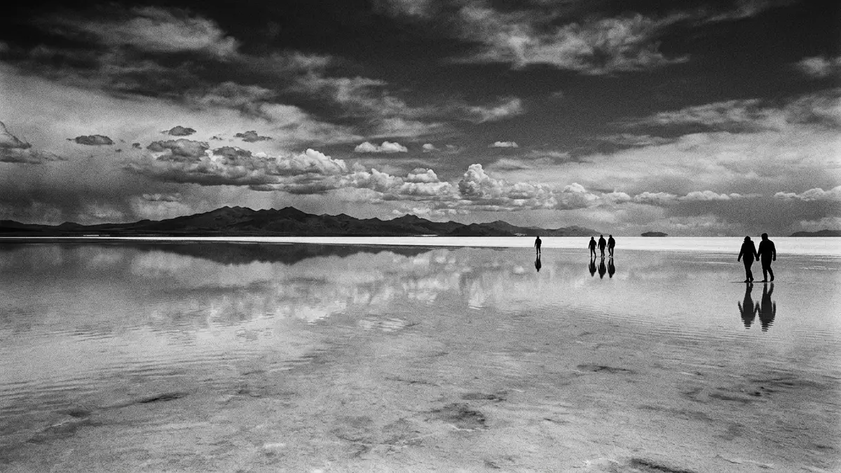
Salar de Uyuni is the largest salt flat in the world, a white crust spread across the Bolivian Altiplano near Uyuni. Its surface forms a stark sheet of halite and gypsum, with Mount Tunupa rising darkly beside it.
The salt crust across the Altiplano
The salar lies within the Altiplano, a high plateau formed by the uplift of the Andes, at elevations above 3,659 metres (12,000 feet). NASA describes it as covering approximately 8,000 square kilometres (3,100 square miles), while other published descriptions place it closer to 10,000 square kilometres; the broad scale is the point, not a finer count.
The surface is flat enough to serve as a major transport route across the plateau. The white crust contrasts with nearby volcanic rock, and relict shorelines mark places where water once stood above the salt.
The basin also preserves a record of changing lakes. Sediments beneath the crust hold the traces of those shifts, and isolated islands within the salar expose fossil coral reefs topped by Andean volcanic rocks.
Mount Tunupa and the edge of the salar
At the northern end, Mount Tunupa stands over the salt flat as a dark volcanic mass. NASA notes that it is high enough to support a summit glacier, and that its windward slopes receive enough rain for small communities at the base.
The mountain gives the salar a strong visual edge, especially where the black rock meets the pale surface. The contrast is direct and immediate: volcanic slopes on one side, salt crust on the other.
The area also links to older basin history. The salar belongs to a closed Andean system with no drainage outlet, and that setting has allowed salt, gypsum and brine to accumulate in layers over long periods.
USGS reports connect the salar to remnants of earlier lakes on the southern Bolivian Altiplano. Those deposits include halite, mud and brine rich in lithium, potassium, magnesium and boron.
A landscape built from former lakes
The present surface owes its form to the retreat of large prehistoric lakes. One well-known stage in that history is Lake Minchin, followed by later lake phases that shrank and left salt behind.
That sequence explains why the salar reads as both plain and archive. Its brightness comes from the crust, while its deeper story lies in the sediments, brine and rock beneath.
Saltwork Consultants describes a stacked evaporitic sequence and a broad, flat surface interrupted by water-filled depressions near the edges. The same source also records a deep well through the salar, showing alternating salt and mud layers below the crust.
Visiting Salar de Uyuni: what travellers from Western Europe should know
- The salar lies near Uyuni in Potosí, in south-west Bolivia. Uyuni is the main gateway for travel into the salt flat.
- The surface is high altitude terrain with a hard salt crust. Footing changes away from the edge, where dissolved areas and shallow brine depressions appear.
- Mount Tunupa rises by the northern end of the salar. The contrast between the dark volcano and the white crust is visible from the flat.
- The landscape includes isolated islands of volcanic rock within the salt flat. Some show fossil coral reefs capped by Andean volcanic material.
Searching for Salar de Uyuni on social platforms
These links open searches for Salar de Uyuni on each platform.
Frequently asked questions about Salar de Uyuni
Where is Salar de Uyuni?
It lies in south-west Bolivia on the Altiplano, near Uyuni in Potosí. It sits among high mountains and closed basins in the Andes.
What does a visit involve?
The place is a broad salt surface with volcanic edges, islands and brine depressions. Walking, driving and photographing the contrast between white crust and dark rock define much of the experience.
What makes it distinctive?
It combines immense scale with a visible record of former lakes. The salt crust, islands and layered basin deposits make the landscape read like a geological cross-section.


