
Rocky Mountain National Park and the high road above Estes Park
Published on 09/16/2026 at 10:03 | Editorial responsibility: Rafael Müller, Editor-in-Chief AD HOC NEWS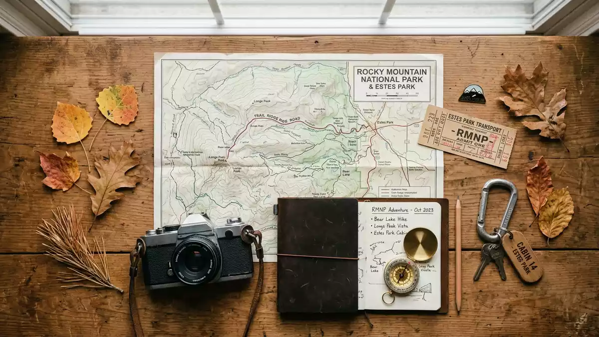
Rocky Mountain National Park west of Estes Park in Colorado is a high-mountain landscape where deep glacial valleys, dense forests and bare alpine tundra meet in a compact sweep of the Front Range. Its protected status as a national park was established on 26 January 1915, and the park since then has preserved a broad section of the central Rocky Mountains as federal land.
The high country of the central Rockies
Rocky Mountain National Park occupies a large tract of rugged terrain in north-central Colorado, part of the Front Range of the Rocky Mountains and within driving distance of Denver. The park lies just west of the town of Estes Park, which serves as the eastern gateway and headquarters, and adjoins Arapaho National Recreation Area to the southwest, where reservoirs impound the Colorado River.front-range setting
The protected area extends across high peaks, ridges and basins, covering more than 1,070 km² of federal land under the administration of the National Park Service.extent of the park Elevations within the park climb from valley floors to high summits above 4,000 m (13,000 ft), with large tracts of alpine tundra where trees give way to low vegetation and exposed rock. Glacial landforms are visible in many of the park’s valleys, with basins holding lakes and meadows ringed by coniferous forest.
A national park shaped under Woodrow Wilson
The formal creation of Rocky Mountain National Park came when President Woodrow Wilson signed the Rocky Mountain National Park Act on 26 January 1915, setting its boundaries and placing the landscape under protection as a unit of the U.S. national park system.Rocky Mountain National Park Act The designation secured a stretch of the central Rockies during a period of expanding conservation efforts in the United States, adding high mountain terrain to a system that already included parks such as Yellowstone and Yosemite.
Estes Park developed as the main service town on the east side, its original town site set in a broad natural meadow beside the Big Thompson River and surrounded by forest. The town name commemorates Joel Estes, an early settler who arrived in 1859, and the settlement grew into a year-round resort and base for visitors, with Roosevelt National Forest adjoining it on three sides.Joel Estes and the gateway town On the west side of the park, Grand Lake serves as a smaller gateway, near lakes formed by dams on the Colorado River.
Trail Ridge Road: cresting the tundra between Estes Park and Grand Lake
One of the defining features of Rocky Mountain National Park is Trail Ridge Road, the stretch of U.S. Highway 34 that crosses the park between Estes Park in the east and Grand Lake in the west. The route runs for about 48 miles (77 km) through the park and over the Continental Divide, forming part of the Trail Ridge Road/Beaver Meadow National Scenic Byway recognised as an All-American Road.Trail Ridge Road length Together with Beaver Meadow Road, it links the eastern and western entrances and provides a continuous drive across some of the highest terrain reached by a paved highway in the United States.
Trail Ridge Road climbs from the forested eastern slopes above Estes Park to treeline and then traverses long stretches of alpine tundra before descending again towards Grand Lake. Eleven miles of the road lie above treeline, around 3,500 m (11,500 ft), where the evergreen forest ends and low, hardy vegetation covers the ground.highway across the tundra The drive reaches a high point of 3,713 m (12,183 ft) above sea level, making Trail Ridge Road the highest continuous paved road in the country and a central way for visitors to experience the tundra environment from their vehicle.highest continuous paved road
Visiting Rocky Mountain National Park: what travellers from Western Europe should know
- Rocky Mountain National Park lies just west of Estes Park in north-central Colorado, with main eastern entrances reached via U.S. Highway 36 and U.S. Highway 34.
- Much of the park’s terrain is high and rugged, with steep slopes, thin air at elevations over 3,000 m (9,800 ft) and trails that cross rocky ground.
- Estes Park serves as the primary gateway town on the east side, while Grand Lake gives access to the western entrance near the Colorado River.
- The official language is English and the currency is the United States dollar.
- Entry requirements depend on your nationality; UK travellers can check the FCDO travel advice at gov.uk/foreign-travel-advice, Irish travellers the Department of Foreign Affairs at ireland.ie.
Searching for Rocky Mountain National Park on social platforms
These links open searches for Rocky Mountain National Park on each platform.
Frequently asked questions about Rocky Mountain National Park
Where is Rocky Mountain National Park?
Rocky Mountain National Park is in north-central Colorado in the United States, immediately west of the town of Estes Park and east of Grand Lake.
What should visitors expect on a visit?
Visitors encounter high mountain terrain with forests, lakes, glacial valleys and extensive alpine tundra, along with a paved cross-park road reaching elevations above 3,700 m (12,000 ft).
What makes Rocky Mountain National Park distinctive?
The combination of a large protected high-mountain landscape and Trail Ridge Road, the highest continuous paved road in the United States, makes the park a distinctive part of the national park system.


